17 Broadbent Street, Brotton, Saltburn By The Sea, TS12 2TF
About 17 Broadbent Street
17 Broadbent Street is an end-of-terrace house in Brotton, Saltburn-By-The-Sea, Saltburn By The Sea (TS12 2TF). It has a recorded floor area of 56 m² (around 603 sq ft), construction records dating it to 1900-1929 and council tax band A. The latest certificate (January 2026) shows an E (score 39), well below the UK norm with real room to improve. When first surveyed in March 2014 the rating was G, the property has climbed 2 bands since. Between certificates, wall efficiency went from Very Poor to Good, roof efficiency went from Very Poor to Good and window efficiency went from Very Poor to Poor; while lighting dropped from Average to Poor. The recommended improvements would lift it to B (score 84), a 3-band jump. Main heating runs on to be used only when there is no heating/hot. This certificate was lodged in the last six months, so the rating reflects current condition.
It hasn't traded since February 2007, a hold of 19 years that's notably long for the area. That sale landed at the peak of the pre-credit-crunch market, which is a useful reference point when interpreting the price. Today's modelled estimate of £110,000 sits 96.4% above the 2007 sale of £56,000. On a £-per-square-foot basis, the last sale (£93/sq ft) was about 54.7% above the typical sold price in the postcode. It lags the bulk of the postcode on energy efficiency (less efficient than 75% of similar EPCs).
Know exactly what you're buying at 17 Broadbent Street
Before you offer, see what the listing won't tell you, the true value, the red flags and the full history.
Already flagged here
Launch offer · save £5
Valuation
against the asking price
Risks
planning & flood
Sold prices
similar homes nearby
Trends
the local market
Energy performance
17 Broadbent Street's carbon output is low for the local stock.
EPC Rating
Property Improvements
Changes detected from historical EPC data
Wall insulation improved
Single glazing replaced with double or better glazing
Roof insulation improved
Planning history
17 Broadbent Street has no planning applications on record.
Notable planning nearby
1applications of note in the surrounding area
We flagged 1 thing worth checking at 17 Broadbent Street
Independent checks surfaced things a buyer would want to understand before offering. The report explains each one in full, with the underlying data and what to ask.
- Larger development activity nearby
30-day money-back guarantee
Sales history & valuation
The latest sale landed at the peak of the pre-credit-crunch market — a high-water reference point.
£110,000
Modelled from EPC, postcode comparables.
£56,000
Recorded with HM Land Registry.
Sales timeline
23 February 2007Most recent
£56,000
Median price across the last 5 sales in TS12 2TF: £53,000 (2021–2019).
Nearby sales in TS12 2TF
Lumpsey View, Broadbent Street, Brotton, Saltburn By The Sea, TS12 2TF
Sold Nov 2021
£145,00013 Broadbent Street, Brotton, Saltburn By The Sea, TS12 2TF
Sold Mar 2021
£44,00015 Broadbent Street, Brotton, Saltburn By The Sea, TS12 2TF
Sold Nov 2020
£63,00010 Broadbent Street, Brotton, Saltburn By The Sea, TS12 2TF
Sold Nov 2019
£34,50012 Broadbent Street, Brotton, Saltburn By The Sea, TS12 2TF
Sold Jun 2019
£53,000
Everything we know about 17 Broadbent Street, in one report
What it's really worth, what could be wrong, and the planning, sales and area data in full.
What we flagged
- Larger development activity nearby

Versus other Broadbent Street homes
17 Broadbent Street is notably below the street on epc rating.
Price per m²
£1,000
Street avg £931
Floor Area
56 m²
Street avg 77 m²
Habitable Rooms
3 rooms
Street avg 4 rooms
CO₂ Emissions
1.3 t/year
Street avg 4.1 t/year
Similar properties nearby
1 Brentford Court, Brotton
TS12 2XW
1 Byland Road, Skelton In Cleveland
TS12 2NJ
1 Abbey Street, Brotton
TS12 2SX
1 Brotton Hall, Broctune Gardens, Brotton
TS12 2GF
1 Carricks Yard, Skelton In Cleveland
TS12 2EG
1 Broadbent Street, Brotton
TS12 2TF
1 Baysdale Court, Skelton In Cleveland
TS12 2YG
1 Ampleforth Court, Skelton In Cleveland
TS12 2YQ
The neighbourhood at a glance
Reported crime in the wider district is trending notably upward year-on-year.
Crime
4/mo
Rising year-on-year across the wider district.
Nearest stop
0.1 km
Whitecliffe Centre — bus stop.
Closest school
0.5 km
Badger Hill Academy. 5 schools nearby.
Go deeper on the local area
The full report breaks down crime, transport links, schools and air quality in depth.
Road noise across the postcode
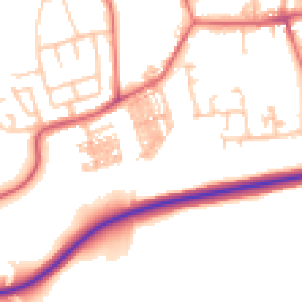
Daytime· 07:00 – 23:00
52.1dB

Night-time· 23:00 – 07:00
41.5dB