3 Hawthorn Place, Turreff Avenue, Donnington, Telford, TF2 8EE
About 3 Hawthorn Place
3 Hawthorn Place is a property in Donnington, Telford, Telford (TF2 8EE). It has council tax band A.
Energy performance
No EPC on record
This property doesn't have an Energy Performance Certificate yet. An EPC is required to sell or let — and unlocks our automated valuation.
Planning history
No planning applications are recorded against 3 Hawthorn Place, Turreff Avenue, Donnington, Telford, TF2 8EE. The full report also covers planning activity across the surrounding area.
Sales history & valuation
No sales recorded with HM Land Registry
That can mean the property has never traded since the registry began publishing in 1995, was a new build that hasn't been registered yet, or is held in the same hands long-term.
Median price across the last 5 sales in TF2 8EE: £118,000 (2023–2017).
Nearby sales in TF2 8EE
4 Hawthorn Place, Turreff Avenue, Donnington, Telford, TF2 8EE
Sold Sept 2023
£167,5002 Hawthorn Place, Turreff Avenue, Donnington, Telford, TF2 8EE
Sold Jun 2021
£118,0005 Hawthorn Place, Turreff Avenue, Donnington, Telford, TF2 8EE
Sold Sept 2020
£130,0006 Hawthorn Place, Turreff Avenue, Donnington, Telford, TF2 8EE
Sold Jun 2017
£115,0001 Hawthorn Place, Turreff Avenue, Donnington, Telford, TF2 8EE
Sold Mar 2004
£77,000
Similar properties nearby
1 Algernon Court, Donnington
TF2 8AL
1 Almond Close, Muxton
TF2 8QY
1 Andreas Drive, Muxton
TF2 8SF
1 Argyll Crescent, Muxton
TF2 8PR
1 Arran Way, Muxton
TF2 8PL
1 Ash Road, Donnington
TF2 8JD
1 Ashmore Close, Breton Park, Muxton
TF2 8NT
1 Baldwin Webb Avenue, Donnington
TF2 8EW
The neighbourhood at a glance
Crime
7/mo
Steady year-on-year across the wider district.
Nearest stop
0.1 km
The Crescent — bus stop.
Closest school
0.3 km
Donnington Wood Infant School and Nursery Centre. 10 schools nearby.
Road noise across the postcode
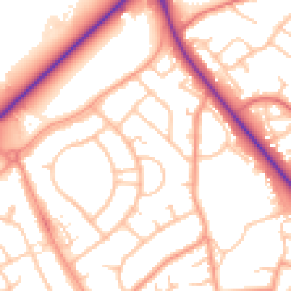
Daytime· 07:00 – 23:00
53.9dB

Night-time· 23:00 – 07:00
43.6dB