The Paddocks, Honeyrow Lane, Bicknoller, Taunton, TA4 4EE
Sales history & valuation
No sales recorded with HM Land Registry
That can mean the property has never traded since the registry began publishing in 1995, was a new build that hasn't been registered yet, or is held in the same hands long-term.
Median price across the last 5 sales in TA4 4EE: £445,000 (2024–2017).
Nearby sales in TA4 4EE
5 Honeyrow Lane, Bicknoller, Taunton, TA4 4EE
Sold Jul 2024
£375,0002 Honeyrow Lane, Bicknoller, Taunton, TA4 4EE
Sold Mar 2023
£445,0005a, Honeyrow Lane, Bicknoller, Taunton, TA4 4EE
Sold Nov 2022
£445,0003 Honeyrow Lane, Bicknoller, Taunton, TA4 4EE
Sold Mar 2022
£1,380,0004 Honeyrow Lane, Bicknoller, Taunton, TA4 4EE
Sold Aug 2014
£284,000
About The Paddocks
The Paddocks is a property in Bicknoller, Taunton, Taunton (TA4 4EE).
One planning record on file: an extension approved in 2015. Past consents include an extension, a loft conversion and partial demolition, meaningful when judging how the property has evolved.
Energy performance
No EPC on record
This property doesn't have an Energy Performance Certificate yet. An EPC is required to sell or let — and unlocks our automated valuation.
Planning history
Planning history includes recorded demolition works, indicating a major rebuild phase at this address.
- Mar 2015Loft ConversionFullOutcome in report
Replacement roof to form new loft conversion, extension, alterations to windows and doors, removal of chimney, demolition of existing garage and replacement with new detached double garage and associated ground works.
ExtensionDemolition- Documents
- 15 docs on file
- Reference
- 3/01/15/003
The neighbourhood at a glance
Reported crime in the wider district is trending notably upward year-on-year.
Crime
81/mo
Rising year-on-year across the wider district.
Nearest stop
0.5 km
Dashwoods Lane — bus stop.
Closest school
2.8 km
Stogumber CofE Primary School. 1 school nearby.
Nearest schools
- Stogumber CofE Primary SchoolPrimary2.8km
Nearest stops
- Dashwoods LaneBus stop488m
- Bicknoller Church LaneBus stop649m
- Bicknoller Church LaneBus stop658m
- Woolston MoorBus stop1.0km
Most reported crime locally
- Violence & Sexual Offences545 reports48%
- Anti-social Behaviour144 reports13%
- Criminal Damage & Arson118 reports10%
- Public Order116 reports10%
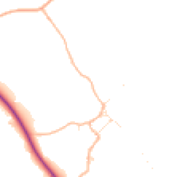
Road noise across the postcode
Daytime· 07:00 – 23:00
45.1dB

Night-time· 23:00 – 07:00
37.6dB

Get a survey for this property
Level 2 HomeBuyer Report
We've checked 10 risk factors against the available data for this property and believe a Level 2 HomeBuyer Report could be a suitable option for you.
Similar properties nearby
1 Alder Close, Williton
TA4 4TG
1 Allen Meadow Drive, Williton
TA4 4DG
1 Aller Mead Way, Williton
TA4 4RE
1 Bakers Orchard, Crowcombe Heathfield
TA4 4PA
1, Bicknoller
TA4 4EY
1 Blacksmith Close, Williton
TA4 4AX
1 Bracken Edge, West Quantoxhead
TA4 4DH
1 Brendon View, Crowcombe
TA4 4AG
How to read this page
- How the estimate is made
- We don't publish an estimate for The Paddocks because there is no EPC to tell the model the home's size and specification. The full report sets its records against recent comparable sales in TA4 4EE.
- Where sold prices come from
- Sold prices are HM Land Registry Price Paid Data, which covers residential sales in England and Wales since 1995. No sale is recorded for The Paddocks, which usually means it hasn't changed hands since 1995 or the sale was not for value. Sales normally appear two to three months after completion, so the most recent ones take time to show up anywhere.
- Reading the EPC
- There is no Energy Performance Certificate on the public register for The Paddocks. A valid EPC is needed to sell or let a home in England and Wales, and lasts 10 years.
- Planning records
- Planning applications are collected from local authority registers through PlanIt. 1 application is matched to The Paddocks. Councils sometimes file applications under a different address format, and applications on neighbouring land aren't listed here; the report covers both.
- Area figures
- Crime is police-recorded street-level data over the last 14 months, which places each incident at an approximate point. The 1 school and 22 stops listed are measured in a straight line from TA4 4EE, not by walking route. Road noise is Defra's strategic noise modelling, averaged across the postcode.
Common questions
Know this home? Think our valuation is wrong?
Leave a note for other visitors about work done or anything the records miss, and say what you think it's worth. It takes about two minutes.