62 Baswich Lane, Stafford, ST17 0DA
About 62 Baswich Lane
62 Baswich Lane is a property in Stafford (ST17 0DA). It has council tax band D.
It hasn't traded since July 2003, a hold of 23 years that's notably long for the area. Across 1996–2003, sale prices on this property compounded at 14.6% per year. One historical planning record sits against the property in 2009.
Everything you need to know about 62 Baswich Lane
The true value, the hidden risks and the full sale history, in one report.
Pick your report · every report is £14.99
One time fee only - money back guarantee

The data behind every report


Energy performance
No EPC on record
This property doesn't have an Energy Performance Certificate yet. An EPC is required to sell or let — and unlocks our automated valuation.
Get a survey for this property
Level 2 HomeBuyer Report
We've checked 10 risk factors against the available data for this property and believe a Level 2 HomeBuyer Report could be a suitable option for you.
Planning history
1 application on record at 62 Baswich Lane, Stafford, ST17 0DA
- Jul 2009ExtensionFullOutcome in report
Extension: Single storey · Side and rear of property
Single storey front and rear extensions
- Documents
- 5 docs on file
- Reference
- 09/12091/FUL
Unlock 62 Baswich Lane, Stafford, ST17 0DA's full planning history
You're seeing the shape of it. The report has the substance.
- Every decision — granted, refused or withdrawn (1 on record)
- All 1 application on this property in full, plus 1 notable nearby
- The 5 documents, officer reports & conditions
- What the pattern means for extending or converting here
One time fee only - money back guarantee
Sales history & valuation
Sale price has at least doubled since 1996.
£178,000
Growth on file: 14.6% per year over 7 years.
Sales timeline
28 July 2003Most recent
£178,000
+101.1%over 5 years11 September 1997
£88,500
+22.9%over 9 months10 December 1996
£72,000
Median price across the last 5 sales in ST17 0DA: £345,000 (2023–2017).
Nearby sales in ST17 0DA
Everything you need to know about 62 Baswich Lane
The true value, the hidden risks and the full sale history, in one report.
Pick your report · every report is £14.99
One time fee only - money back guarantee
The data behind every report
Similar properties nearby
The neighbourhood at a glance
Daytime road noise here sits well below conversation level — a quiet pocket of the postcode.
Crime
3/mo
Steady year-on-year across the wider district.
Nearest stop
0.0 km
Porlock Avenue — bus stop.
Closest school
0.5 km
St Anne's Catholic Primary School. 18 schools nearby.
Go deeper on the local area
A Local Area report breaks down crime, transport links, schools and air quality in depth.
Road noise across the postcode
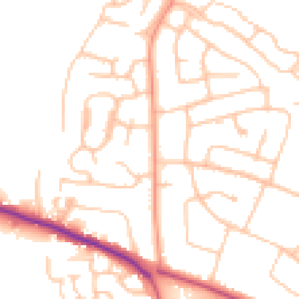
Daytime· 07:00 – 23:00
49.8dB

Night-time· 23:00 – 07:00
39.7dB