113 Obelisk Road, Southampton, SO19 9DN
About 113 Obelisk Road
113 Obelisk Road is a four-bedroom detached house in Southampton (SO19 9DN). It has a recorded floor area of 152 m² (around 1636 sq ft), construction records dating it to before 1900 and council tax band D. The latest certificate (July 2018) shows a C (score 69), just inside the C band. When first surveyed in October 2011 the rating was D, the property has climbed 1 band since. Between certificates, roof efficiency went from Poor to Good and window efficiency went from Poor to Good; while wall efficiency dropped from Good to Average. Other recorded features include a basement. Period features are noted in the property record.
At 152 m² the property is well over the postcode median (69 m² across 36 EPCs), placing it in the larger end of the local stock. 4 bedrooms is on the larger side for this postcode, where 2 is the typical count. Sold February 2021 for £483,000. Across the public record there are 4 sales, relatively high churn for a single property. That sale was during the post-pandemic price surge, when transactions cleared materially above pre-2020 trend. Across 1997–2021, sale prices on this property compounded at 7.4% per year. On a £-per-square-foot basis, the last sale (£295/sq ft) was about 51.6% above the typical sold price in the postcode. 2 planning records sit against the property, 0 approved, 1 refused.
What this property has
Inside
- Bedrooms4
- Bathrooms2
- Dining roomYes
- EnsuiteYes
- BasementYes
Outside
- Private gardenRear
- DrivewayYes
Building
- Period featuresYes
Everything you need to know about 113 Obelisk Road
The true value, the hidden risks and the full sale history, in one report.
Pick your report · every report is £14.99
One time fee only - money back guarantee

The data behind every report


Energy performance
EPC Rating
Property Improvements
Changes detected from historical EPC data
Windows upgraded, improving insulation
Roof insulation improved
Get a survey for this property
Level 3 Building Survey
Because the property was built before 1919 and has been extended more than once, we believe a Level 3 building survey should be considered.
From £1,085 · Includes VAT
Planning history
2 applications on record at 113 Obelisk Road, Southampton, SO19 9DN
- Sept 2008ExtensionFullOutcome in report
Extension: Two storey
Erection of a two-storey side extension (with basement) and single-storey rear extension
- Documents
- 14 docs on file
- Reference
- 08/01084/FUL
- More recent applications — locked
- Tree WorksJul 2022Decision
Unlock 113 Obelisk Road, Southampton, SO19 9DN's full planning history
You're seeing the shape of it. The report has the substance.
- Every decision — granted, refused or withdrawn (2 on record)
- All 2 applications on this property in full, plus 4 notable nearby
- The 17 documents, officer reports & conditions
- What the pattern means for extending or converting here
One time fee only - money back guarantee
Sales history & valuation
113 Obelisk Road has more than quadrupled in price since its earliest registered sale in 1997.
£526,000
Modelled from EPC, postcode comparables and a sale-price growth of 7.4% per year over 23 years.
£483,000
Growth on file: 7.4% per year over 23 years.
Sales timeline
18 February 2021Most recent
£483,000
+7.3%over 2 years3 December 2018
£450,000
+44.7%over 6 years29 March 2012
£311,000
+241.8%over 14 years11 September 1997
£91,000
Median price across the last 5 sales in SO19 9DN: £292,500 (2025–2023).
Nearby sales in SO19 9DN
137b, Obelisk Road, Southampton, SO19 9DN
Sold Jul 2025
£215,000165 Obelisk Road, Southampton, SO19 9DN
Sold Jun 2025
£292,500131 Obelisk Road, Southampton, SO19 9DN
Sold Aug 2024
£170,000107 Obelisk Road, Southampton, SO19 9DN
Sold Jul 2024
£425,000139 Obelisk Road, Southampton, SO19 9DN
Sold Nov 2023
£344,000
Versus other Obelisk Road homes
113 Obelisk Road is notably below the street on co₂ emissions.
Price per m²
£3,178
Street avg £2,615
Floor Area
152 m²
Street avg 92 m²
Habitable Rooms
7 rooms
Street avg 5 rooms
CO₂ Emissions
4.6 t/year
Street avg 3.7 t/year
Everything you need to know about 113 Obelisk Road
The true value, the hidden risks and the full sale history, in one report.
Pick your report · every report is £14.99
One time fee only - money back guarantee
The data behind every report
Similar properties nearby
1 Archery Road
SO19 9EQ
1 Anson Place, John Thornycroft Road
SO19 9UH
1 Austen Heights, Centenary Plaza
SO19 9UE
1 Barnfield Court
SO19 9PR
1 Arrow Close
SO19 9TR
1 Bevan Close
SO19 9PE
1 Barnfield Close
SO19 9GT
1 Arcadia, John Thornycroft Road
SO19 9XF
The neighbourhood at a glance
Rail-style transport is unusually close for this postcode.
Crime
12/mo
Steady year-on-year across the wider district.
Nearest stop
0.3 km
St Annes Road — bus stop.
Closest school
0.3 km
Woolston Infant School. 26 schools nearby.
Go deeper on the local area
A Local Area report breaks down crime, transport links, schools and air quality in depth.
Road noise across the postcode
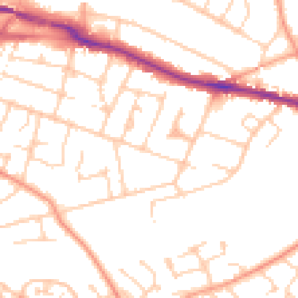
Daytime· 07:00 – 23:00
50.1dB

Night-time· 23:00 – 07:00
40.0dB