3 Gregory Avenue, Romiley, Stockport, SK6 3JZ
About 3 Gregory Avenue
3 Gregory Avenue is a detached house in Romiley, Stockport, Stockport (SK6 3JZ). It has a recorded floor area of 147 m² (around 1582 sq ft), construction records dating it to 1900-1929 and council tax band G. The latest certificate (June 2024) shows an F (score 37), near the bottom of the EPC scale. The recommended improvements would lift it to D (score 65), a 2-band jump.
At 147 m² it's 23.4% smaller than the typical home in the postcode (192 m² median across 8 EPCs). It lags the bulk of the postcode on energy efficiency (less efficient than 88% of similar EPCs).
Everything you need to know about 3 Gregory Avenue
The true value, the hidden risks and the full sale history, in one report.
Pick your report · every report is £14.99
One time fee only - money back guarantee

The data behind every report


Energy performance
3 Gregory Avenue's carbon output runs well above what efficient homes in the postcode produce.
EPC Rating
Get a survey for this property
Level 3 Building Survey
Because the property was built before 1919, we believe a Level 3 building survey should be considered.
From £1,155 · Includes VAT
Planning history
3 Gregory Avenue has no planning applications on record.
But the area is active
1 notable application nearby — larger schemes and conversions that could reshape the street. The report maps them all.
Sales history & valuation
3 Gregory Avenue has no Land Registry sales on file, suggesting it has stayed in the same hands since registration began.
£679,000
Modelled from EPC, postcode comparables.
No sales recorded with HM Land Registry
That can mean the property has never traded since the registry began publishing in 1995, was a new build that hasn't been registered yet, or is held in the same hands long-term.
Median price across the last 5 sales in SK6 3JZ: £555,000 (2024–2017).
Nearby sales in SK6 3JZ
6 Gregory Avenue, Romiley, Stockport, SK6 3JZ
Sold Jun 2024
£480,00011 Gregory Avenue, Romiley, Stockport, SK6 3JZ
Sold Mar 2022
£800,0009 Gregory Avenue, Romiley, Stockport, SK6 3JZ
Sold Nov 2020
£560,0001a, Gregory Avenue, Romiley, Stockport, SK6 3JZ
Sold Dec 2019
£555,00013 Gregory Avenue, Romiley, Stockport, SK6 3JZ
Sold Dec 2017
£460,000
Versus other Gregory Avenue homes
3 Gregory Avenue is notably below the street on epc rating.
EPC Rating
37 (F)
Street avg 54 (E)
Floor Area
147 m²
Street avg 201 m²
CO₂ Emissions
11.0 t/year
Street avg 10.1 t/year
Habitable Rooms
7 rooms
Street avg 8 rooms
Everything you need to know about 3 Gregory Avenue
The true value, the hidden risks and the full sale history, in one report.
Pick your report · every report is £14.99
One time fee only - money back guarantee
The data behind every report
Similar properties nearby
1 Chadkirk Road, Romiley
SK6 3JY
1 Gregory Avenue, Romiley
SK6 3JZ
1 Greenhead Fold, Romiley
SK6 3DW
1 Bunkers Hill, Romiley
SK6 3DS
1 Gorsey Brow, Romiley
SK6 3BQ
1 Bredbury Green, Romiley
SK6 3DN
1 Hill Rise, Romiley
SK6 3AP
1 Green Tree Gardens, Romiley
SK6 3JL
The neighbourhood at a glance
Rail-style transport is unusually close for this postcode.
Crime
1/mo
Steady year-on-year across the wider district.
Nearest stop
0.3 km
Romiley Station — bus stop.
Closest school
0.6 km
Romiley Primary School. 19 schools nearby.
Go deeper on the local area
A Local Area report breaks down crime, transport links, schools and air quality in depth.
Road noise across the postcode
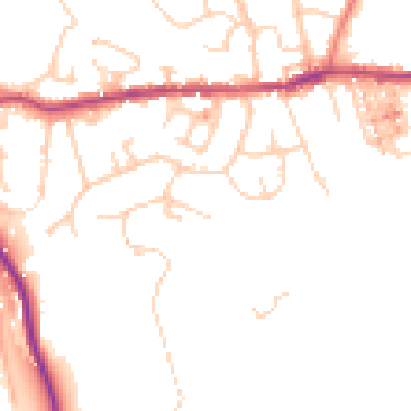
Daytime· 07:00 – 23:00
48.5dB

Night-time· 23:00 – 07:00
39.8dB