1 Gorsey Brow, Romiley, Stockport, SK6 3BQ
About 1 Gorsey Brow
1 Gorsey Brow is a detached house in Romiley, Stockport, Stockport (SK6 3BQ). It has a recorded floor area of 125 m² (around 1350 sq ft), construction records dating it to 1950-1966 and council tax band F. The latest certificate (December 2008) shows a D (score 56), a step below the typical UK home. The latest certificate is from December 2008, so improvements made since then won't be reflected.
Everything you need to know about 1 Gorsey Brow
The true value, the hidden risks and the full sale history, in one report.
Pick your report · every report is £14.99
One time fee only - money back guarantee

The data behind every report


Energy performance
1 Gorsey Brow's carbon output runs well above what efficient homes in the postcode produce.
EPC Expired
This certificate is over 10 years old and is no longer valid.Expired 09 Dec 2018
EPC Rating
Get a survey for this property
Level 2 HomeBuyer Report
We've checked 10 risk factors against the available data for this property and believe a Level 2 HomeBuyer Report could be a suitable option for you.
From £695 · Includes VAT
Planning history
1 Gorsey Brow has no planning applications on record.
But the area is active
1 notable application nearby — larger schemes and conversions that could reshape the street. The report maps them all.
Sales history & valuation
1 Gorsey Brow has no Land Registry sales on file, suggesting it has stayed in the same hands since registration began.
£488,000
Modelled from EPC, postcode comparables.
No sales recorded with HM Land Registry
That can mean the property has never traded since the registry began publishing in 1995, was a new build that hasn't been registered yet, or is held in the same hands long-term.
Median price across the last 5 sales in SK6 3BQ: £245,000 (2017–2006).
Nearby sales in SK6 3BQ
10 Gorsey Brow, Romiley, Stockport, SK6 3BQ
Sold Feb 2017
£268,50018 Gorsey Brow, Romiley, Stockport, SK6 3BQ
Sold Jun 2014
£245,00014 Gorsey Brow, Romiley, Stockport, SK6 3BQ
Sold Sept 2007
£210,00012 Gorsey Brow, Romiley, Stockport, SK6 3BQ
Sold Jan 2003
£140,00020 Gorsey Brow, Romiley, Stockport, SK6 3BQ
Sold Feb 2002
£160,000
Versus other Gorsey Brow homes
EPC Rating for 1 Gorsey Brow lags the street by a wide margin.
EPC Rating
56 (D)
Street avg 64 (D)
Floor Area
125 m²
Street avg 141 m²
CO₂ Emissions
6.5 t/year
Street avg 5.5 t/year
Habitable Rooms
5 rooms
Street avg 7 rooms
Everything you need to know about 1 Gorsey Brow
The true value, the hidden risks and the full sale history, in one report.
Pick your report · every report is £14.99
One time fee only - money back guarantee
The data behind every report
Similar properties nearby
1 Bredbury Green, Romiley
SK6 3DN
1 Bunkers Hill, Romiley
SK6 3DS
1 Hill Rise, Romiley
SK6 3AP
1 Greenhead Fold, Romiley
SK6 3DW
1 Green Tree Gardens, Romiley
SK6 3JL
1 Barrack Hill, Romiley
SK6 3AZ
1 Eastover, Romiley
SK6 3ES
1 Gregory Avenue, Romiley
SK6 3JZ
The neighbourhood at a glance
Rail-style transport is unusually close for this postcode.
Crime
1/mo
Steady year-on-year across the wider district.
Nearest stop
0.0 km
Hatherlow — bus stop.
Closest school
0.3 km
Harrytown Catholic High School. 20 schools nearby.
Go deeper on the local area
A Local Area report breaks down crime, transport links, schools and air quality in depth.
Road noise across the postcode
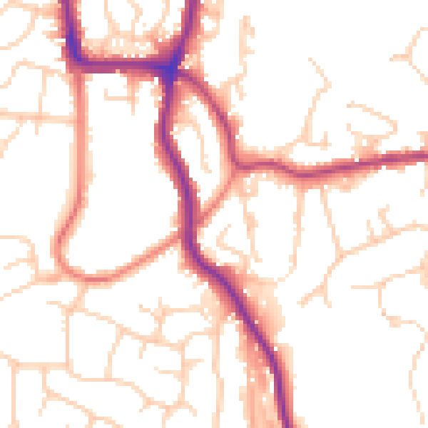
Daytime· 07:00 – 23:00
51.9dB
Night-time· 23:00 – 07:00
41.7dB