8 Abbey Grove, Stockport, SK1 4HD
About 8 Abbey Grove
8 Abbey Grove is a three-bedroom semi-detached house in Stockport (SK1 4HD). It has a recorded floor area of 81 m² (around 872 sq ft), construction records dating it to 1930-1949 and council tax band C. The latest certificate (March 2024) shows a C (score 70). The recommended improvements would push it to B (score 84).
Its energy rating outperforms most of the postcode (better than 86% of similar EPCs). Today's modelled estimate of £274,000 is 10.3% above the 2024 sale price. On a £-per-square-foot basis, the last sale (£285/sq ft) was about 63.4% above the typical sold price in the postcode. Last sale on file: £248,500 in October 2024.
What this property has
Inside
- Bedrooms3
- Bathrooms1
Outside
- Private gardenFront and rear
- GarageYes
Everything you need to know about 8 Abbey Grove
The true value, the hidden risks and the full sale history, in one report.
Pick your report · every report is £14.99
One time fee only - money back guarantee

The data behind every report


Energy performance
EPC Rating
Get a survey for this property
Level 2 HomeBuyer Report
We've checked 10 risk factors against the available data for this property and believe a Level 2 HomeBuyer Report could be a suitable option for you.
From £545 · Includes VAT
Planning history
8 Abbey Grove has no planning applications on record.
A planning report still maps activity across the surrounding area and reads this property's extension & conversion potential.
Sales history & valuation
Latest sale on 8 Abbey Grove was the highest on Land Registry record across the postcode.
£274,000
Modelled from EPC, postcode comparables.
£248,500
Recorded with HM Land Registry.
Sales timeline
3 October 2024Most recent
£248,500
Median price across the last 5 sales in SK1 4HD: £220,000 (2025–2016).
Versus other Abbey Grove homes
EPC Rating for 8 Abbey Grove runs comfortably ahead of the street norm.
Price per m²
£3,068
Street avg £2,807
Floor Area
81 m²
Street avg 82 m²
Habitable Rooms
6 rooms
Street avg 5 rooms
CO₂ Emissions
2.8 t/year
Street avg 4.0 t/year
Everything you need to know about 8 Abbey Grove
The true value, the hidden risks and the full sale history, in one report.
Pick your report · every report is £14.99
One time fee only - money back guarantee
The data behind every report
Similar properties nearby
1 Brookfield Close
SK1 4NA
1 Brookfield Avenue
SK1 4LZ
1 Banks Lane
SK1 4JT
1 Bleatarn Road
SK1 4NP
1 Athens Street
SK1 4DX
1 Dalby Grove
SK1 4AE
1 Ellwood Road
SK1 4BD
1 Betnor Avenue
SK1 4BQ
The neighbourhood at a glance
Crime
1/mo
Steady year-on-year across the wider district.
Nearest stop
0.1 km
Henry Street — bus stop.
Closest school
0.5 km
Banks Lane Infant School. 38 schools nearby.
Go deeper on the local area
A Local Area report breaks down crime, transport links, schools and air quality in depth.
Road noise across the postcode
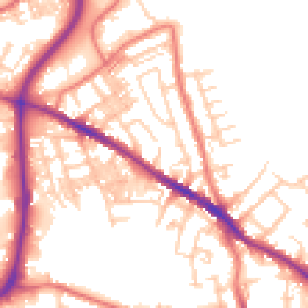
Daytime· 07:00 – 23:00
54.1dB

Night-time· 23:00 – 07:00
43.9dB