4 Abbey Grove, Stockport, SK1 4HD
About 4 Abbey Grove
4 Abbey Grove is a property in Stockport (SK1 4HD). It has council tax band C.
It hasn't traded since May 2000, a hold of 26 years that's notably long for the area. Only one transfer is on record with HM Land Registry, suggesting it has stayed in the same hands for a long time. 2 planning records sit against the property, 2 approved, 0 refused. Past consents include an extension and a loft conversion, meaningful when judging how the property has evolved.
Everything you need to know about 4 Abbey Grove
The true value, the hidden risks and the full sale history, in one report.
Pick your report · every report is £14.99
One time fee only - money back guarantee

The data behind every report


Energy performance
No EPC on record
This property doesn't have an Energy Performance Certificate yet. An EPC is required to sell or let — and unlocks our automated valuation.
Get a survey for this property
Level 2 HomeBuyer Report
We've checked 10 risk factors against the available data for this property and believe a Level 2 HomeBuyer Report could be a suitable option for you.
Planning history
Planning history includes both a loft conversion and an extension — the classic family-home expansion.
2 applications on record at 4 Abbey Grove, Stockport, SK1 4HD
- Oct 2000Loft ConversionFullOutcome in report
Installation of dormer windows to rear and side elevations
- Reference
- DC/002130
- More recent applications — locked
- ExtensionSept 2005Decision
Unlock 4 Abbey Grove, Stockport, SK1 4HD's full planning history
You're seeing the shape of it. The report has the substance.
- Every decision — granted, refused or withdrawn (2 on record)
- All 2 applications on this property in full
- The 1 documents, officer reports & conditions
- What the pattern means for extending or converting here
One time fee only - money back guarantee
Sales history & valuation
£63,000
Recorded with HM Land Registry.
Sales timeline
11 May 2000Most recent
£63,000
Median price across the last 5 sales in SK1 4HD: £230,000 (2025–2017).
Everything you need to know about 4 Abbey Grove
The true value, the hidden risks and the full sale history, in one report.
Pick your report · every report is £14.99
One time fee only - money back guarantee
The data behind every report
Similar properties nearby
The neighbourhood at a glance
Crime
1/mo
Steady year-on-year across the wider district.
Nearest stop
0.1 km
Henry Street — bus stop.
Closest school
0.5 km
Banks Lane Infant School. 38 schools nearby.
Go deeper on the local area
A Local Area report breaks down crime, transport links, schools and air quality in depth.
Road noise across the postcode
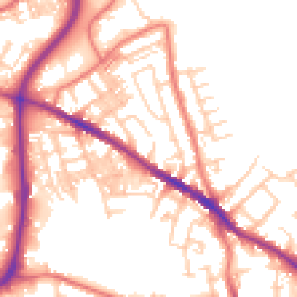
Daytime· 07:00 – 23:00
54.1dB

Night-time· 23:00 – 07:00
43.9dB