9 Arbroath Road, Greenwich, London, SE9 6RR
About 9 Arbroath Road
9 Arbroath Road is a four-bedroom semi-detached house in Greenwich, London, London (SE9 6RR). It has a recorded floor area of 102 m² (around 1098 sq ft), construction records dating it to 1930-1949 and council tax band D. The latest certificate (March 2017) shows a D (score 61), on the cusp of jumping into the C band. The recommended improvements would lift it to B (score 83), a 2-band jump. Other recorded features include a basement.
Untraded for 24 years, with the last transfer in June 2002. Across 1999–2002, sale prices on this property compounded at 18.7% per year. Today's modelled estimate of £550,000 sits 252.6% above the 2002 sale of £156,000. On a £-per-square-foot basis, the last sale (£142/sq ft) was about 51.9% below the postcode norm. 5 planning records sit against the property, 4 approved, 1 refused. Past consents include an extension, a porch, partial demolition and a loft conversion, meaningful when judging how the property has evolved. At 102 m² it's 16.2% larger than the typical home in the postcode (88 m² median across 14 EPCs).
What this property has
Inside
- Bedrooms4
- BasementYes
Outside
- GarageIntegral
Building
- RefurbishedYes
Everything you need to know about 9 Arbroath Road
The true value, the hidden risks and the full sale history, in one report.
30-day money-back guarantee

The data behind every report


Energy performance
Recommended upgrades on file would lift this property by multiple EPC bands.
EPC Rating
Planning history
Planning history includes recorded demolition works, indicating a major rebuild phase at this address.
- Feb 2019PorchOutlineIn report
Certificate of lawfulness (Proposed) is sought for the construction of a new front porch.
- Agent
- Arcci Designs
Extension- Documents
- 7 docs on file
- Reference
- 18/4405/CP
- Nov 2018ExtensionOutlineIn report
Extension: Single storey · Rear of property
Prior notification for the construction of a single storey rear extension which would measure 4.0 metres beyond the rear wall of the property, with a maximum height of 3.5 metres and an eaves height 2.9 metres.
- Agent
- Arcci Designs
- Documents
- 8 docs on file
- Reference
- 18/3731/PN1
We flagged 1 thing worth checking at 9 Arbroath Road
Independent checks surfaced things a buyer would want to understand before offering. The report explains each one in full, with the underlying data and what to ask.
- Signs of HMO activity in the area
30-day money-back guarantee
Sales history & valuation
9 Arbroath Road's modelled value sits at over four times its earliest registered sale price (1999).
£550,000
Modelled from EPC, postcode comparables and a sale-price growth of 18.7% per year over 3 years.
£156,000
Growth on file: 18.7% per year over 3 years.
Sales timeline
30 June 2002Most recent
£156,000
+69.6%over 3 years3 June 1999
£92,000
Median price across the last 5 sales in SE9 6RR: £460,000 (2025–2019).
Nearby sales in SE9 6RR
47 Arbroath Road, Greenwich, London, SE9 6RR
Sold Apr 2025
£406,0001 Arbroath Road, Greenwich, London, SE9 6RR
Sold Feb 2025
£560,00011 Arbroath Road, Greenwich, London, SE9 6RR
Sold Aug 2024
£486,85021 Arbroath Road, Greenwich, London, SE9 6RR
Sold Apr 2021
£460,00013 Arbroath Road, Greenwich, London, SE9 6RR
Sold Aug 2019
£425,000
Versus other Arbroath Road homes
9 Arbroath Road is notably below the street on price per m².
Price per m²
£1,529
Street avg £4,134
Floor Area
102 m²
Street avg 97 m²
Habitable Rooms
5 rooms
Street avg 5 rooms
CO₂ Emissions
4.4 t/year
Street avg 4.5 t/year
Everything you need to know about 9 Arbroath Road
The true value, the hidden risks and the full sale history, in one report.
30-day money-back guarantee
The data behind every report
Similar properties nearby
1 Horsfeld Gardens, Greenwich
SE9 6DT
1 Allenswood Road, Greenwich
SE9 6RW
1 Arbroath Road, Greenwich
SE9 6RR
1 Brenley Gardens, Greenwich
SE9 6LE
1 Dickson Road, Greenwich
SE9 6RA
1 Farnaby Road, Greenwich
SE9 6BG
1 Bayfield Road, Greenwich
SE9 6BN
1 Bland Street, Greenwich
SE9 6JA
The neighbourhood at a glance
Rail-style transport is unusually close for this postcode.
Crime
6/mo
Rising year-on-year across the wider district.
Nearest stop
0.2 km
Arbroath Road — bus stop.
Closest school
0.4 km
St Thomas More Catholic Primary School. 45 schools nearby.
Go deeper on the local area
The full report breaks down crime, transport links, schools and air quality in depth.
Road noise across the postcode
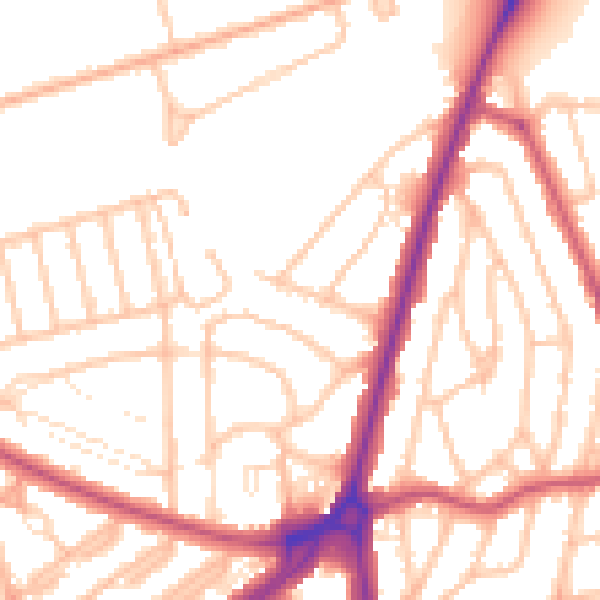
Daytime· 07:00 – 23:00
53.1dB

Night-time· 23:00 – 07:00
43.8dB