47a, Merritt Road, Lewisham, London, SE4 1DT
About 47a
47a is a mid-terrace house in Lewisham, London, London (SE4 1DT). It has a recorded floor area of 74 m² (around 797 sq ft) and construction records dating it to 1900-1929. The latest certificate (February 2020) shows an E (score 53), well below the UK norm with real room to improve. The recommended improvements would lift it to C (score 80), a 2-band jump.
Held since July 1997 — that's 29 years off the open market, well above the local norm. Only one transfer is on record with HM Land Registry, suggesting it has stayed in the same hands for a long time. Today's modelled estimate of £639,000 sits 832.8% above the 1997 sale of £68,500. On a £-per-square-foot basis, the last sale (£86/sq ft) was about 68.9% below the postcode norm. It lags the bulk of the postcode on energy efficiency (less efficient than 72% of similar EPCs).
Everything you need to know about 47a
The true value, the hidden risks and the full sale history, in one report.
Pick your report · every report is £14.99
One time fee only - money back guarantee

The data behind every report


Energy performance
Recommended upgrades on file would lift this property by multiple EPC bands.
EPC Rating
Get a survey for this property
Level 3 Building Survey
Because the property was built before 1919, has been extended more than once, and has solid (non-cavity) walls, we believe a Level 3 building survey should be considered.
From £1,155 · Includes VAT
Planning history
47a has no planning applications on record.
But the area is active
19 notable applications nearby — larger schemes and conversions that could reshape the street. The report maps them all.
Sales history & valuation
47a's modelled value sits at over four times its earliest registered sale price (1997).
£639,000
Modelled from EPC, postcode comparables.
£68,500
Recorded with HM Land Registry.
Sales timeline
27 July 1997Most recent
£68,500
Median price across the last 5 sales in SE4 1DT: £653,000 (2024–2022).
Nearby sales in SE4 1DT
41a, Merritt Road, Lewisham, London, SE4 1DT
Sold Dec 2024
£730,00061 Merritt Road, Lewisham, London, SE4 1DT
Sold Sept 2023
£715,00051 Merritt Road, Lewisham, London, SE4 1DT
Sold Jun 2023
£555,00037a, Merritt Road, Lewisham, London, SE4 1DT
Sold Feb 2023
£653,00043b, Merritt Road, Lewisham, London, SE4 1DT
Sold Oct 2022
£575,000
Versus other Merritt Road homes
Habitable Rooms for 47a lags the street by a wide margin.
Price per m²
£926
Street avg £5,320
Floor Area
74 m²
Street avg 84 m²
Habitable Rooms
3 rooms
Street avg 5 rooms
CO₂ Emissions
4.1 t/year
Street avg 3.7 t/year
Everything you need to know about 47a
The true value, the hidden risks and the full sale history, in one report.
Pick your report · every report is £14.99
One time fee only - money back guarantee
The data behind every report
Similar properties nearby
1 3, Flat 3, Ashby Road, Lewisham
SE4 1PR
1 Bearstead Rise, Lewisham
SE4 1RQ
1 Beverley Court, Breakspears Road, Lewisham
SE4 1UN
1 2, Flat 1, Vulcan Terrace, Lewisham
SE4 1DA
1 2, Flat 2, Vulcan Terrace, Lewisham
SE4 1DA
1 Breakspears Mews, Lewisham
SE4 1PY
1 2, Flat 7, Vulcan Terrace, Lewisham
SE4 1DA
1 3, Flat 2, Ashby Road, Lewisham
SE4 1PR
The neighbourhood at a glance
Rail-style transport is unusually close for this postcode.
Crime
7/mo
Rising year-on-year across the wider district.
Nearest stop
0.1 km
Huxbear Street — bus stop.
Closest school
0.3 km
Beecroft Garden Primary. 75 schools nearby.
Go deeper on the local area
A Local Area report breaks down crime, transport links, schools and air quality in depth.
Road noise across the postcode
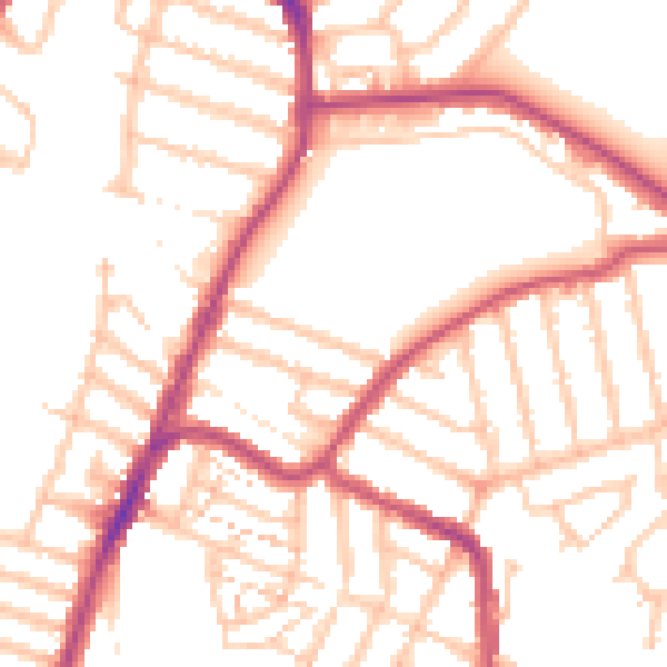
Daytime· 07:00 – 23:00
51.8dB

Night-time· 23:00 – 07:00
41.1dB