4 Malpas Road, Lewisham, London, SE4 1BS
About 4 Malpas Road
4 Malpas Road is a two-bedroom property in Lewisham, London, London (SE4 1BS). It has council tax band D.
Untraded for 30 years, with the last transfer in March 1996. Only one transfer is on record with HM Land Registry, suggesting it has stayed in the same hands for a long time.
What this property has
Inside
- Bedrooms2
- Open-plan layoutYes
- CloakroomYes
- EnsuiteYes
Outside
- ParkingYes
Everything you need to know about 4 Malpas Road
The true value, the hidden risks and the full sale history, in one report.
Pick your report · every report is £14.99
One time fee only - money back guarantee

The data behind every report


Energy performance
No EPC on record
This property doesn't have an Energy Performance Certificate yet. An EPC is required to sell or let — and unlocks our automated valuation.
Get a survey for this property
Level 2 HomeBuyer Report
We've checked 10 risk factors against the available data for this property and believe a Level 2 HomeBuyer Report could be a suitable option for you.
Planning history
4 Malpas Road has no planning applications on record.
But the area is active
19 notable applications nearby — larger schemes and conversions that could reshape the street. The report maps them all.
Sales history & valuation
Latest sale on 4 Malpas Road was the lowest on Land Registry record across the postcode.
£38,000
Recorded with HM Land Registry.
Sales timeline
21 March 1996Most recent
£38,000
Median price across the last 5 sales in SE4 1BS: £850,000 (2024–2021).
Nearby sales in SE4 1BS
Flat A, 50 Malpas Road, Lewisham, London, SE4 1BS
Sold Oct 2024
£950,00060 Malpas Road, Lewisham, London, SE4 1BS
Sold Jul 2023
£850,00046a, Malpas Road, Lewisham, London, SE4 1BS
Sold Mar 2023
£650,0008 Malpas Road, Lewisham, London, SE4 1BS
Sold Jan 2022
£600,00064 Malpas Road, Lewisham, London, SE4 1BS
Sold Aug 2021
£850,000
Everything you need to know about 4 Malpas Road
The true value, the hidden risks and the full sale history, in one report.
Pick your report · every report is £14.99
One time fee only - money back guarantee
The data behind every report
Similar properties nearby
1 Adelaide Avenue, Lewisham
SE4 1YT
1 Bearstead Rise, Lewisham
SE4 1RQ
1 Beverley Court, Breakspears Road, Lewisham
SE4 1UN
1 Breakspears Mews, Lewisham
SE4 1PY
1 Brightling Road, Lewisham
SE4 1SQ
1 2, Flat 1, Vulcan Terrace, Lewisham
SE4 1DA
1 2, Flat 10, Vulcan Terrace, Lewisham
SE4 1DA
1 2, Flat 11, Vulcan Terrace, Lewisham
SE4 1DA
The neighbourhood at a glance
Rail-style transport is unusually close for this postcode.
Crime
7/mo
Rising year-on-year across the wider district.
Nearest stop
0.1 km
Malpas Road — bus stop.
Closest school
0.1 km
Myatt Garden Primary School. 73 schools nearby.
Go deeper on the local area
A Local Area report breaks down crime, transport links, schools and air quality in depth.
Road noise across the postcode
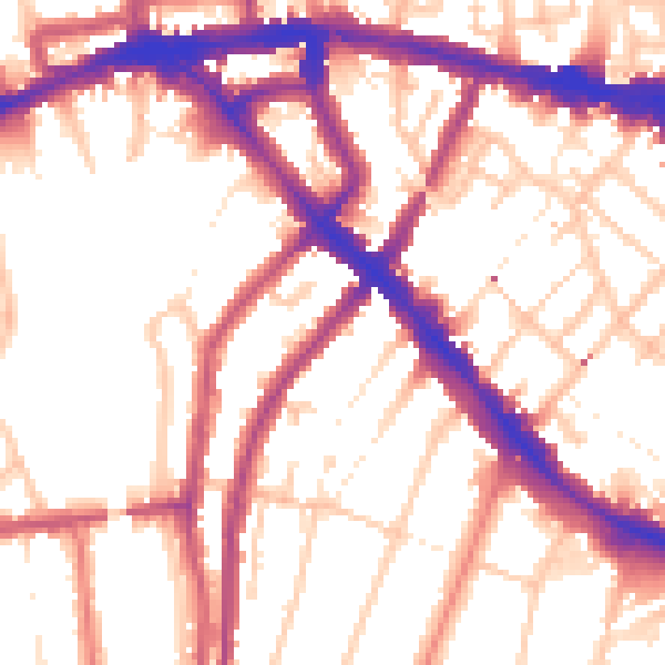
Daytime· 07:00 – 23:00
55.2dB

Night-time· 23:00 – 07:00
45.5dB