1 Gregor Mews, Langton Way, Greenwich, London, SE3 7JX
About 1 Gregor Mews
1 Gregor Mews is a five-bedroom detached house in Greenwich, London, London (SE3 7JX). It has a recorded floor area of 148 m² (around 1594 sq ft), construction records dating it to 1950-1966 and council tax band G. The latest certificate (August 2010) shows an E (score 52), well below the UK norm with real room to improve. The recommended improvements would push it to D (score 62). The latest certificate is from August 2010, so improvements made since then won't be reflected. Our model identifies extension potential, subject to local planning policy.
At 148 m² it's 25.6% smaller than the typical home in the postcode (199 m² median across 3 EPCs). 5 bedrooms is on the larger side for this postcode, where 4 is the typical count. Today's modelled estimate of £1,441,000 is 12.1% above the 2019 sale price. Last sale on file: £1,285,000 in August 2019. One historical planning record sits against the property in 2021.
Know exactly what you're buying at 1 Gregor Mews
Before you offer, see what the listing won't tell you, the true value, the red flags and the full history.
Valuation
against the asking price
Risks
planning & flood
Sold prices
similar homes nearby
Trends
the local market
What this property has
Inside
- Bedrooms5
- Bathrooms2
- Utility roomYes
- EnsuiteYes
Outside
- ParkingOff street
Building
- RefurbishedYes
- Extension potentialPossible
Energy performance
1 Gregor Mews's carbon output runs well above what efficient homes in the postcode produce.
EPC Expired
This certificate is over 10 years old and is no longer valid.Expired 25 Aug 2020
EPC Rating
Planning history
- Jul 2021Tree WorksTreesIn report
Fell Goat willow - The tree hangs over the road and has been damaged by passing lorries and delivery vans and replace with Malus Rudolph
- Documents
- 7 docs on file
- Reference
- 21/2067/TC
What's in 1 Gregor Mews, Langton Way, Greenwich, London, SE3 7JX's planning history?
Refusals, disputes and full decisions on this property and nearby, in the report.
Sales history & valuation
£1,441,000
Modelled from EPC, postcode comparables.
£1,285,000
Recorded with HM Land Registry.
Sales timeline
4 August 2019Most recent
£1,285,000
Median price across the last 3 sales in SE3 7JX: £1,300,000 (2023–2012).
Everything we know about 1 Gregor Mews, in one report
What it's really worth, what could be wrong, and the planning, sales and area data in full.
- Am I paying too much?
- Is something wrong with it?
- Is the agent's story true?
- Will it hold its value?

Versus other Gregor Mews homes
EPC Rating for 1 Gregor Mews lags the street by a wide margin.
EPC Rating
52 (E)
Street avg 66 (D)
Floor Area
148 m²
Street avg 195 m²
CO₂ Emissions
9.6 t/year
Street avg 7.1 t/year
Habitable Rooms
8 rooms
Street avg 8 rooms
Similar properties nearby
1 Coleraine Road, Greenwich
SE3 7PF
1 Mary Lawrenson Place, Greenwich
SE3 7AY
1 Humber Road, Greenwich
SE3 7LT
1 Foyle Road, Greenwich
SE3 7RQ
1 Lambourne Place, Greenwich
SE3 7BH
1 Beaconsfield Road, Greenwich
SE3 7LN
1 Highmore Road, Greenwich
SE3 7UA
1 Pinelands Close, St Johns Park, Greenwich
SE3 7TF
The neighbourhood at a glance
Reported crime in the wider district is trending notably upward year-on-year.
Crime
10/mo
Rising year-on-year across the wider district.
Nearest stop
0.1 km
Stratheden Rd/Shooters Hill Rd — bus stop.
Closest school
0.5 km
Invicta Primary School. 53 schools nearby.
Go deeper on the local area
The full report breaks down crime, transport links, schools and air quality in depth.
Road noise across the postcode
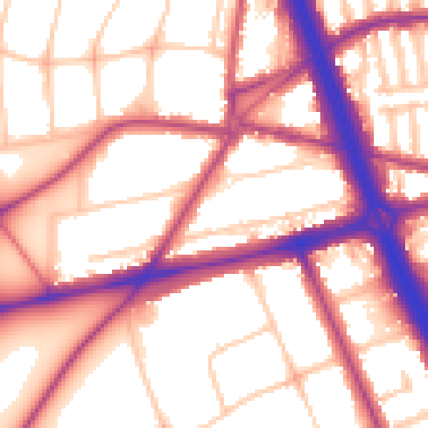
Daytime· 07:00 – 23:00
56.5dB

Night-time· 23:00 – 07:00
48.0dB