14 Coney Acre, Lambeth, London, SE21 8LL
About 14 Coney Acre
14 Coney Acre is a detached house in Lambeth, London, London (SE21 8LL). It has a recorded floor area of 104 m² (around 1119 sq ft), construction records dating it to 1967-1975 and council tax band F. The latest certificate (February 2024) shows an E (score 52), well below the UK norm with real room to improve. The recommended improvements would lift it to B (score 83), a 3-band jump.
Everything you need to know about 14 Coney Acre
The true value, the hidden risks and the full sale history, in one report.
Pick your report · every report is £14.99
One time fee only - money back guarantee

The data behind every report


Energy performance
Recommended upgrades on file would lift this property by multiple EPC bands.
EPC Rating
Get a survey for this property
Level 3 Building Survey
Because the property has solid (non-cavity) walls, we believe a Level 3 building survey should be considered.
From £1,360 · Includes VAT
Planning history
14 Coney Acre has no planning applications on record.
But the area is active
1 notable application nearby — larger schemes and conversions that could reshape the street. The report maps them all.
Sales history & valuation
14 Coney Acre has no Land Registry sales on file, suggesting it has stayed in the same hands since registration began.
£824,000
Modelled from EPC, postcode comparables.
No sales recorded with HM Land Registry
That can mean the property has never traded since the registry began publishing in 1995, was a new build that hasn't been registered yet, or is held in the same hands long-term.
Median price across the last 5 sales in SE21 8LL: £770,000 (2023–2019).
Nearby sales in SE21 8LL
7 Coney Acre, Lambeth, London, SE21 8LL
Sold Apr 2023
£945,00013 Coney Acre, Lambeth, London, SE21 8LL
Sold Nov 2020
£777,00010 Coney Acre, Lambeth, London, SE21 8LL
Sold Sept 2020
£560,00021 Coney Acre, Lambeth, London, SE21 8LL
Sold Mar 2019
£760,00016 Coney Acre, Lambeth, London, SE21 8LL
Sold Dec 2018
£735,000
Versus other Coney Acre homes
14 Coney Acre is notably below the street on habitable rooms.
EPC Rating
52 (E)
Street avg 55 (E)
Floor Area
104 m²
Street avg 99 m²
CO₂ Emissions
5.8 t/year
Street avg 4.9 t/year
Habitable Rooms
3 rooms
Street avg 4 rooms
Everything you need to know about 14 Coney Acre
The true value, the hidden risks and the full sale history, in one report.
Pick your report · every report is £14.99
One time fee only - money back guarantee
The data behind every report
Similar properties nearby
1 Cokers Lane, Lambeth
SE21 8NF
1 Birkbeck Hill, Lambeth
SE21 8JS
1 Charles Nex Mews, Lambeth
SE21 8HW
1 Lincoln Mews, Thurlow Park Road, Lambeth
SE21 8HP
1 Alleyn Crescent, Southwark
SE21 8BN
1 Loggetts, Alleyn Park, Southwark
SE21 8AS
1 Coney Acre, Lambeth
SE21 8LL
1 Chalford Road, Lambeth
SE21 8BX
The neighbourhood at a glance
Rail-style transport is unusually close for this postcode.
Crime
6/mo
Rising year-on-year across the wider district.
Nearest stop
0.2 km
Thurlow Park Road/Croxted Road — bus stop.
Closest school
0.5 km
Rosendale Primary School. 65 schools nearby.
Go deeper on the local area
A Local Area report breaks down crime, transport links, schools and air quality in depth.
Road noise across the postcode
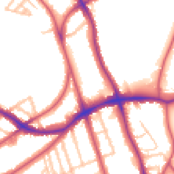
Daytime· 07:00 – 23:00
53.2dB

Night-time· 23:00 – 07:00
44.2dB