9 Hinksey Path, Bexley, London, SE2 9TB
About 9 Hinksey Path
9 Hinksey Path is a mid-terrace house in Bexley, London, London (SE2 9TB). It has a recorded floor area of 74 m² (around 797 sq ft), construction records dating it to 1967-1975 and council tax band A. The latest certificate (September 2020) shows an E (score 46), well below the UK norm with real room to improve. The recommended improvements would lift it to C (score 69), a 2-band jump.
Across 2001–2020, sale prices on this property compounded at 6.4% per year. Today's modelled estimate of £325,000 sits 51.2% above the 2020 sale of £215,000. On a £-per-square-foot basis, the last sale (£270/sq ft) was about 56% above the typical sold price in the postcode. At 74 m² it's 20% smaller than the typical home in the postcode (93 m² median across 28 EPCs). Last sale on file: £215,000 in April 2020.
Everything you need to know about 9 Hinksey Path
The true value, the hidden risks and the full sale history, in one report.
Pick your report · every report is £14.99
One time fee only - money back guarantee

The data behind every report


Energy performance
Recommended upgrades on file would lift this property by multiple EPC bands.
EPC Rating
Get a survey for this property
Level 3 Building Survey
Because the property has been extended more than once, we believe a Level 3 building survey should be considered.
From £955 · Includes VAT
Planning history
9 Hinksey Path has no planning applications on record.
But the area is active
12 notable applications nearby — larger schemes and conversions that could reshape the street. The report maps them all.
Sales history & valuation
Sale price has grown by over 3x since 2001.
£325,000
Modelled from EPC, postcode comparables and a sale-price growth of 6.4% per year over 19 years.
£215,000
Growth on file: 6.4% per year over 19 years.
Sales timeline
21 April 2020Most recent
£215,000
+225.8%over 18 years29 April 2001
£66,000
Median price across the last 5 sales in SE2 9TB: £225,000 (2023–2019).
Nearby sales in SE2 9TB
27 Hinksey Path, Bexley, London, SE2 9TB
Sold Aug 2023
£235,00025 Hinksey Path, Bexley, London, SE2 9TB
Sold Aug 2023
£225,00024 Hinksey Path, Bexley, London, SE2 9TB
Sold Feb 2023
£220,0008 Hinksey Path, Bexley, London, SE2 9TB
Sold Jul 2022
£225,0004 Hinksey Path, Bexley, London, SE2 9TB
Sold May 2019
£227,500
Versus other Hinksey Path homes
On price per m², 9 Hinksey Path stands well clear of the street.
Price per m²
£2,905
Street avg £2,032
Floor Area
74 m²
Street avg 97 m²
Habitable Rooms
5 rooms
Street avg 5 rooms
CO₂ Emissions
4.9 t/year
Street avg 4.8 t/year
Everything you need to know about 9 Hinksey Path
The true value, the hidden risks and the full sale history, in one report.
Pick your report · every report is £14.99
One time fee only - money back guarantee
The data behind every report
Similar properties nearby
1 Dalberg Way, Bexley
SE2 9SL
1 Bostall Manor Way, Greenwich
SE2 9EE
1 Glover Close, Greenwich
SE2 9DX
1 Bromholm Road, Greenwich
SE2 9NE
1 Hartslock Drive, Bexley
SE2 9UR
1 Abbey Wood Road, Greenwich
SE2 9ED
1 Blithdale Road, Greenwich
SE2 9HW
1 Grovebury Road, Greenwich
SE2 9YA
The neighbourhood at a glance
Rail-style transport is unusually close for this postcode.
Crime
7/mo
Rising year-on-year across the wider district.
Nearest stop
0.1 km
Yarnton Way / Harrow Manorway — bus stop.
Closest school
0.3 km
Willow Bank Primary School. 39 schools nearby.
Go deeper on the local area
A Local Area report breaks down crime, transport links, schools and air quality in depth.
Road noise across the postcode
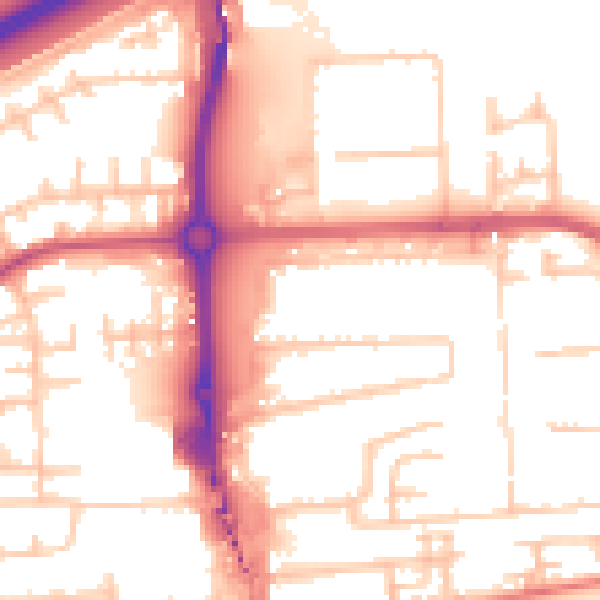
Daytime· 07:00 – 23:00
54.3dB

Night-time· 23:00 – 07:00
44.3dB