13 Dalberg Way, Bexley, London, SE2 9SL
About 13 Dalberg Way
13 Dalberg Way is a three-bedroom mid-terrace house in Bexley, London, London (SE2 9SL). It has a recorded floor area of 57 m² (around 614 sq ft), construction records dating it to 1967-1975 and council tax band C. The latest certificate (December 2023) shows a C (score 73). When first surveyed in June 2016 the rating was D, the property has climbed 1 band since. Between certificates, roof efficiency went from Very Poor to Good, window efficiency went from Very Poor to Average and lighting went from Average to Very Good; while hot-water efficiency dropped from Very Good to Good. The recommended improvements would push it to B (score 90).
Across 2001–2017, sale prices on this property compounded at 8.1% per year. Today's modelled estimate of £368,000 is 36.3% above the 2017 sale price. On a £-per-square-foot basis, the last sale (£440/sq ft) was about 117.4% above the typical sold price in the postcode. Last changed hands 9 years ago, in January 2017.
What this property has
Inside
- Bedrooms3
Everything you need to know about 13 Dalberg Way
The true value, the hidden risks and the full sale history, in one report.
Pick your report · every report is £14.99
One time fee only - money back guarantee

The data behind every report


Energy performance
EPC Rating
Property Improvements
Changes detected from historical EPC data
Heating controls upgraded for better temperature management
Hot water efficiency decreased
Single glazing replaced with double or better glazing
Roof insulation improved
More low energy lighting installed
Get a survey for this property
Level 2 HomeBuyer Report
We've checked 10 risk factors against the available data for this property and believe a Level 2 HomeBuyer Report could be a suitable option for you.
From £595 · Includes VAT
Planning history
13 Dalberg Way has no planning applications on record.
But the area is active
12 notable applications nearby — larger schemes and conversions that could reshape the street. The report maps them all.
Sales history & valuation
Sale price has grown by over 3x since 2001.
£368,000
Modelled from EPC, postcode comparables and a sale-price growth of 8.1% per year over 15 years.
£270,000
Growth on file: 8.1% per year over 15 years.
Sales timeline
12 January 2017Most recent
£270,000
+225.3%over 15 years19 November 2001
£82,995
Median price across the last 5 sales in SE2 9SL: £380,000 (2024–2021).
Nearby sales in SE2 9SL
52 Dalberg Way, Bexley, London, SE2 9SL
Sold Dec 2024
£350,00010 Dalberg Way, Bexley, London, SE2 9SL
Sold Aug 2024
£380,0007 Dalberg Way, Bexley, London, SE2 9SL
Sold Aug 2023
£350,00029 Dalberg Way, Bexley, London, SE2 9SL
Sold Feb 2022
£2,495,00040 Dalberg Way, Bexley, London, SE2 9SL
Sold Jun 2021
£425,000
Versus other Dalberg Way homes
On co₂ emissions, 13 Dalberg Way stands well clear of the street.
Price per m²
£4,737
Street avg £4,615
Floor Area
57 m²
Street avg 68 m²
Habitable Rooms
3 rooms
Street avg 4 rooms
CO₂ Emissions
1.9 t/year
Street avg 3.2 t/year
Everything you need to know about 13 Dalberg Way
The true value, the hidden risks and the full sale history, in one report.
Pick your report · every report is £14.99
One time fee only - money back guarantee
The data behind every report
Similar properties nearby
1 Grovebury Road, Greenwich
SE2 9YA
1 Boxgrove Road, Greenwich
SE2 9JZ
1 Edington Road, Greenwich
SE2 9JU
1 Birkdale Road, Greenwich
SE2 9HU
1 Chalcombe Road, Greenwich
SE2 9QT
1 Ampleforth Road, Greenwich
SE2 9BD
1 Devenish Road, Greenwich
SE2 9DA
1 Abbey Wood Road, Greenwich
SE2 9ED
The neighbourhood at a glance
Rail-style transport is unusually close for this postcode.
Crime
7/mo
Rising year-on-year across the wider district.
Nearest stop
0.1 km
Lanridge Road — bus stop.
Closest school
0.5 km
Parkway Primary School. 41 schools nearby.
Go deeper on the local area
A Local Area report breaks down crime, transport links, schools and air quality in depth.
Road noise across the postcode
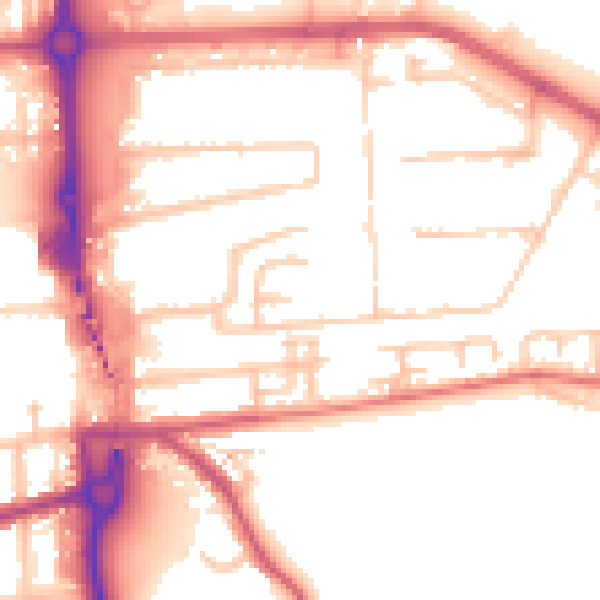
Daytime· 07:00 – 23:00
53.8dB
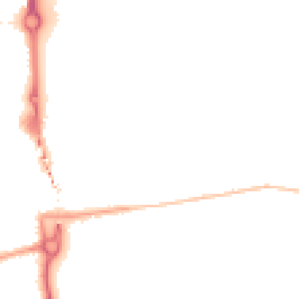
Night-time· 23:00 – 07:00
43.6dB