21 Manorside Close, Bexley, London, SE2 9HD
About 21 Manorside Close
21 Manorside Close is a property in Bexley, London, London (SE2 9HD). It has council tax band B.
Untraded for 26 years, with the last transfer in November 2000. Across 1997–2000, sale prices on this property compounded at 17.3% per year.
Everything you need to know about 21 Manorside Close
The true value, the hidden risks and the full sale history, in one report.
Pick your report · every report is £14.99
One time fee only - money back guarantee

The data behind every report


Energy performance
No EPC on record
This property doesn't have an Energy Performance Certificate yet. An EPC is required to sell or let — and unlocks our automated valuation.
Get a survey for this property
Level 2 HomeBuyer Report
We've checked 10 risk factors against the available data for this property and believe a Level 2 HomeBuyer Report could be a suitable option for you.
Planning history
21 Manorside Close has no planning applications on record.
But the area is active
12 notable applications nearby — larger schemes and conversions that could reshape the street. The report maps them all.
Sales history & valuation
£52,500
Growth on file: 17.3% per year over 3 years.
Sales timeline
27 November 2000Most recent
£52,500
+69.4%over 3 years7 August 1997
£31,000
Median price across the last 5 sales in SE2 9HD: £155,000 (2021–2016).
Nearby sales in SE2 9HD
5 Manorside Close, Bexley, London, SE2 9HD
Sold Mar 2021
£215,00029 Manorside Close, Bexley, London, SE2 9HD
Sold Feb 2021
£210,00020 Manorside Close, Bexley, London, SE2 9HD
Sold Mar 2016
£155,0001 Manorside Close, Bexley, London, SE2 9HD
Sold Mar 2016
£155,00016 Manorside Close, Bexley, London, SE2 9HD
Sold Mar 2016
£155,000
Everything you need to know about 21 Manorside Close
The true value, the hidden risks and the full sale history, in one report.
Pick your report · every report is £14.99
One time fee only - money back guarantee
The data behind every report
Similar properties nearby
1 Devenish Road, Greenwich
SE2 9DA
1 Cookhill Road, Greenwich
SE2 9PD
1 Godstow Road, Greenwich
SE2 9AT
1 Dutton House, Southmere Drive, Bexley
SE2 9AE
1 Hartslock Drive, Bexley
SE2 9UR
1 Andwell Close, Greenwich
SE2 9XT
1 Dalberg Way, Bexley
SE2 9SL
1 Bostall Manor Way, Greenwich
SE2 9EE
The neighbourhood at a glance
Rail-style transport is unusually close for this postcode.
Crime
7/mo
Rising year-on-year across the wider district.
Nearest stop
0.1 km
Abbey Wood / Florence Road — bus stop.
Closest school
0.6 km
Boxgrove Primary School. 48 schools nearby.
Go deeper on the local area
A Local Area report breaks down crime, transport links, schools and air quality in depth.
Road noise across the postcode
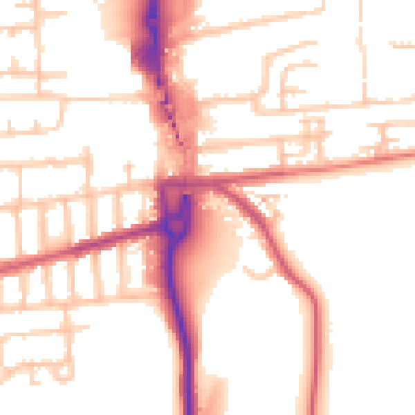
Daytime· 07:00 – 23:00
53.3dB
Night-time· 23:00 – 07:00
43.2dB