58 Myrtledene Road, Greenwich, London, SE2 0EU
About 58 Myrtledene Road
58 Myrtledene Road is a property in Greenwich, London, London (SE2 0EU). It has council tax band B.
Energy performance
No EPC on record
This property doesn't have an Energy Performance Certificate yet. An EPC is required to sell or let — and unlocks our automated valuation.
Get a survey for this property
Level 2 HomeBuyer Report
We've checked 10 risk factors against the available data for this property and believe a Level 2 HomeBuyer Report could be a suitable option for you.
Planning history
No planning applications are recorded against 58 Myrtledene Road, Greenwich, London, SE2 0EU. The full report also covers planning activity across the surrounding area.
Sales history & valuation
No sales recorded with HM Land Registry
That can mean the property has never traded since the registry began publishing in 1995, was a new build that hasn't been registered yet, or is held in the same hands long-term.
Median price across the last 5 sales in SE2 0EU: £220,000 (2024–2020).
Nearby sales in SE2 0EU
62 Myrtledene Road, Greenwich, London, SE2 0EU
Sold Nov 2024
£160,00074 Myrtledene Road, Greenwich, London, SE2 0EU
Sold Apr 2024
£237,00076 Myrtledene Road, Greenwich, London, SE2 0EU
Sold Sept 2021
£241,25080 Myrtledene Road, Greenwich, London, SE2 0EU
Sold Dec 2020
£220,00088 Myrtledene Road, Greenwich, London, SE2 0EU
Sold Sept 2020
£330,000
Similar properties nearby
1 Alexander Terrace, Fuchsia Street, Greenwich
SE2 0TJ
1 Bastion Road, Greenwich
SE2 0RD
1 Bayley Walk, Bexley
SE2 0DL
1 Bendmore Avenue, Greenwich
SE2 0EY
1 Bevan Road, Greenwich
SE2 0UT
1 Bostall Lane, Greenwich
SE2 0NH
1 Brodrick Grove, Greenwich
SE2 0SR
1 Camrose Street, Greenwich
SE2 0HZ
The neighbourhood at a glance
Reported crime in the wider district is trending notably upward year-on-year.
Crime
7/mo
Rising year-on-year across the wider district.
Nearest stop
0.1 km
Basildon Road / Bostall Hill — bus stop.
Closest school
0.5 km
Alexander McLeod Primary School. 51 schools nearby.
Road noise across the postcode
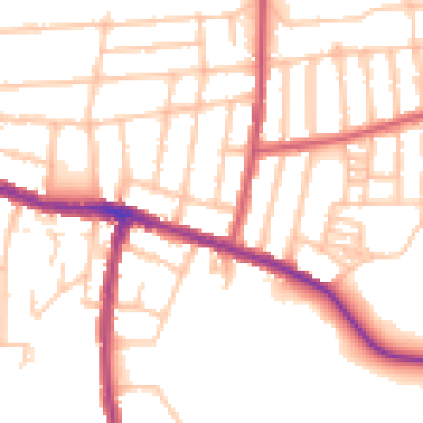
Daytime· 07:00 – 23:00
51.9dB

Night-time· 23:00 – 07:00
42.6dB