10 Kendall Road, Greenwich, London, SE18 4ND
About 10 Kendall Road
10 Kendall Road is a property in Greenwich, London, London (SE18 4ND). It has council tax band C.
Held since May 2007 — that's 19 years off the open market, well above the local norm. That sale landed at the peak of the pre-credit-crunch market, which is a useful reference point when interpreting the price. 2 planning records sit against the property, 2 approved, 0 refused. Past consents include a loft conversion and an extension, meaningful when judging how the property has evolved. Across 2001–2007, sale prices on this property compounded at 8.8% per year.
Everything you need to know about 10 Kendall Road
The true value, the hidden risks and the full sale history, in one report.
Pick your report · every report is £14.99
One time fee only - money back guarantee

The data behind every report


Energy performance
No EPC on record
This property doesn't have an Energy Performance Certificate yet. An EPC is required to sell or let — and unlocks our automated valuation.
Get a survey for this property
Level 2 HomeBuyer Report
We've checked 10 risk factors against the available data for this property and believe a Level 2 HomeBuyer Report could be a suitable option for you.
Planning history
Planning history includes both a loft conversion and an extension — the classic family-home expansion.
2 applications on record at 10 Kendall Road, Greenwich, London, SE18 4ND
- Aug 2017ExtensionFullOutcome in report
Extension: Single storey · Rear of property
Construction of a single storey rear extension.
- Documents
- 5 docs on file
- Reference
- 17/1825/F
- More recent applications — locked
- Loft ConversionAug 2017Decision
Unlock 10 Kendall Road, Greenwich, London, SE18 4ND's full planning history
You're seeing the shape of it. The report has the substance.
- Every decision — granted, refused or withdrawn (2 on record)
- All 2 applications on this property in full, plus 4 notable nearby
- The 18 documents, officer reports & conditions
- What the pattern means for extending or converting here
One time fee only - money back guarantee
Sales history & valuation
The latest sale landed at the peak of the pre-credit-crunch market — a high-water reference point.
£214,500
Growth on file: 8.8% per year over 6 years.
Sales timeline
18 May 2007Most recent
£214,500
+68.2%over 6 years29 March 2001
£127,500
Median price across the last 5 sales in SE18 4ND: £440,000 (2025–2023).
Nearby sales in SE18 4ND
3 Kendall Road, Greenwich, London, SE18 4ND
Sold Jul 2025
£440,00031 Kendall Road, Greenwich, London, SE18 4ND
Sold Mar 2025
£415,0007 Kendall Road, Greenwich, London, SE18 4ND
Sold May 2024
£625,00025 Kendall Road, Greenwich, London, SE18 4ND
Sold Mar 2024
£385,00028 Kendall Road, Greenwich, London, SE18 4ND
Sold Jun 2023
£537,000
Everything you need to know about 10 Kendall Road
The true value, the hidden risks and the full sale history, in one report.
Pick your report · every report is £14.99
One time fee only - money back guarantee
The data behind every report
Similar properties nearby
1 Mansergh Close, Greenwich
SE18 4PJ
1 Centurion Square, Greenwich
SE18 4GW
1 Kempt Street, Greenwich
SE18 4ET
1 Greenhill Terrace, Greenwich
SE18 4BP
1 Kendall Road, Greenwich
SE18 4ND
1 Howerd Way, Greenwich
SE18 4PX
1 Matchless Drive, Greenwich
SE18 4JF
1 Cairns Mews, Greenwich
SE18 4JZ
The neighbourhood at a glance
Reported crime in the wider district is trending notably upward year-on-year.
Crime
13/mo
Rising year-on-year across the wider district.
Nearest stop
0.2 km
Shooters Hill Road /Baker Road — bus stop.
Closest school
0.3 km
Ark Greenwich Free School. 48 schools nearby.
Go deeper on the local area
A Local Area report breaks down crime, transport links, schools and air quality in depth.
Road noise across the postcode
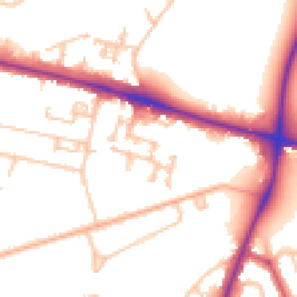
Daytime· 07:00 – 23:00
52.7dB

Night-time· 23:00 – 07:00
44.4dB