39 Chelsworth Drive, Greenwich, London, SE18 2RB
About 39 Chelsworth Drive
39 Chelsworth Drive is a property in Greenwich, London, London (SE18 2RB). It has council tax band D.
Held since May 2002 — that's 24 years off the open market, well above the local norm.
Everything you need to know about 39 Chelsworth Drive
The true value, the hidden risks and the full sale history, in one report.
Pick your report · every report is £14.99
One time fee only - money back guarantee

The data behind every report


Energy performance
No EPC on record
This property doesn't have an Energy Performance Certificate yet. An EPC is required to sell or let — and unlocks our automated valuation.
Get a survey for this property
Level 2 HomeBuyer Report
We've checked 10 risk factors against the available data for this property and believe a Level 2 HomeBuyer Report could be a suitable option for you.
Planning history
39 Chelsworth Drive has no planning applications on record.
But the area is active
43 notable applications nearby — larger schemes and conversions that could reshape the street. The report maps them all.
Sales history & valuation
£144,995
Recorded with HM Land Registry.
Sales timeline
28 May 2002Most recent
£144,995
Median price across the last 5 sales in SE18 2RB: £470,000 (2025–2023).
Nearby sales in SE18 2RB
43 Chelsworth Drive, Greenwich, London, SE18 2RB
Sold Aug 2025
£542,00083 Chelsworth Drive, Greenwich, London, SE18 2RB
Sold Dec 2024
£350,00019 Chelsworth Drive, Greenwich, London, SE18 2RB
Sold Oct 2024
£450,00047 Chelsworth Drive, Greenwich, London, SE18 2RB
Sold Apr 2023
£470,00033 Chelsworth Drive, Greenwich, London, SE18 2RB
Sold Jan 2023
£575,000
Everything you need to know about 39 Chelsworth Drive
The true value, the hidden risks and the full sale history, in one report.
Pick your report · every report is £14.99
One time fee only - money back guarantee
The data behind every report
Similar properties nearby
1 Cheriton Drive, Greenwich
SE18 2RE
1 Admaston Road, Greenwich
SE18 2TU
1 Erindale, Greenwich
SE18 2QQ
1 Duncroft, Greenwich
SE18 2HZ
1 Erindale Terrace, Greenwich
SE18 2QG
1 Combeside, Greenwich
SE18 2DP
1 Clothworkers Road, Greenwich
SE18 2PD
1 Eastview Avenue, Greenwich
SE18 2HU
The neighbourhood at a glance
Reported crime in the wider district is trending notably upward year-on-year.
Crime
13/mo
Rising year-on-year across the wider district.
Nearest stop
0.2 km
Landstead Road — bus stop.
Closest school
0.3 km
Greenslade Primary School. 46 schools nearby.
Go deeper on the local area
A Local Area report breaks down crime, transport links, schools and air quality in depth.
Road noise across the postcode
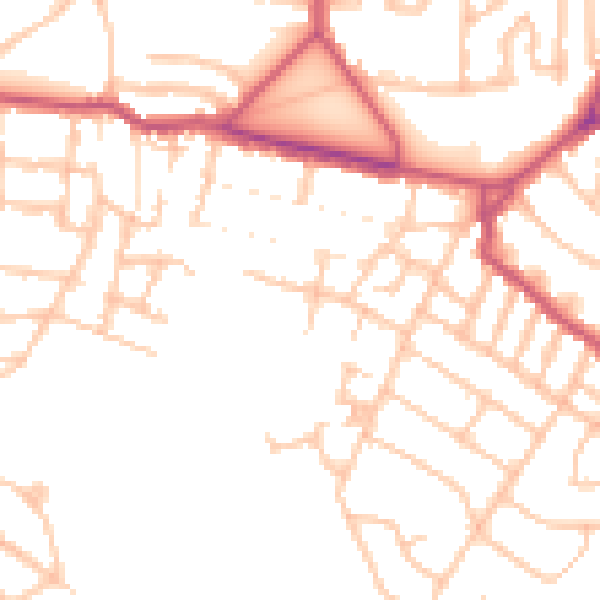
Daytime· 07:00 – 23:00
49.7dB

Night-time· 23:00 – 07:00
38.8dB