49 Kemsing Road, Greenwich, London, SE10 0LL
About 49 Kemsing Road
49 Kemsing Road is a three-bedroom mid-terrace house in Greenwich, London, London (SE10 0LL). It has a recorded floor area of 104 m² (around 1119 sq ft), construction records dating it to before 1900 and council tax band E. The latest certificate (December 2020) shows a D (score 67), on the cusp of jumping into the C band. The recommended improvements would lift it to B (score 85), a 2-band jump. Period features are noted in the property record. Our model identifies extension potential, subject to local planning policy.
Sold April 2021 for £850,000. Across the public record there are 4 sales, relatively high churn for a single property. That sale was during the post-pandemic price surge, when transactions cleared materially above pre-2020 trend. One planning record on file: a loft conversion approved in 2026. Past consents include a loft conversion, meaningful when judging how the property has evolved. Across 2000–2021, sale prices on this property compounded at 6.5% per year. Today's modelled estimate of £946,000 is 11.3% above the 2021 sale price. On a £-per-square-foot basis, the last sale (£759/sq ft) was about 128.1% above the typical sold price in the postcode.
Know exactly what you're buying at 49 Kemsing Road
Before you offer, see what the listing won't tell you, the true value, the red flags and the full history.
Already flagged here
Valuation
against the asking price
Risks
planning & flood
Sold prices
similar homes nearby
Trends
the local market
What this property has
Inside
- Bedrooms3
- Bathrooms1
Building
- Period featuresYes
- RefurbishedYes
- Extension potentialPossible
Energy performance
Recommended upgrades on file would lift this property by multiple EPC bands.
EPC Rating
Planning history
- Feb 2026Loft ConversionOutlineIn report
Certificate of Lawfulness (Proposed) is sought for proposed L shape dormer along with 3 rooflights to the front and associated works. (ameded description)
- Agent
- Resi Design Ltd
- Documents
- 10 docs on file
- Reference
- 25/4250/CP
We flagged 2 things worth checking at 49 Kemsing Road
Independent checks surfaced things a buyer would want to understand before offering. The report explains each one in full, with the underlying data and what to ask.
- Signs of HMO activity in the area
- Larger development activity nearby
30-day money-back guarantee
Sales history & valuation
49 Kemsing Road has more than tripled in price since its earliest registered sale in 2000.
£946,000
Modelled from EPC, postcode comparables and a sale-price growth of 6.5% per year over 21 years.
£850,000
Growth on file: 6.5% per year over 21 years.
Sales timeline
15 April 2021Most recent
£850,000
+150.0%over 16 years22 March 2005
£340,000
+37.4%over 3 years12 September 2001
£247,500
+6.9%over 11 months9 October 2000
£231,500
Median price across the last 5 sales in SE10 0LL: £917,500 (2025–2021).
Nearby sales in SE10 0LL
13 Kemsing Road, Greenwich, London, SE10 0LL
Sold Aug 2025
£800,00014 Kemsing Road, Greenwich, London, SE10 0LL
Sold Sept 2023
£995,00041 Kemsing Road, Greenwich, London, SE10 0LL
Sold May 2022
£917,50029 Kemsing Road, Greenwich, London, SE10 0LL
Sold Dec 2021
£795,00037 Kemsing Road, Greenwich, London, SE10 0LL
Sold Jun 2021
£995,000
Everything we know about 49 Kemsing Road, in one report
What it's really worth, what could be wrong, and the planning, sales and area data in full.
What we flagged
- Signs of HMO activity in the area
- Larger development activity nearby

Versus other Kemsing Road homes
49 Kemsing Road outperforms the street on price per m² by a wide margin.
Price per m²
£8,173
Street avg £6,057
Floor Area
104 m²
Street avg 109 m²
Habitable Rooms
5 rooms
Street avg 6 rooms
CO₂ Emissions
3.6 t/year
Street avg 4.6 t/year
Similar properties nearby
1 Gilroy Street, Greenwich
SE10 0DL
1 Fergus Street, Greenwich
SE10 0XQ
1 Attwood Lane, Greenwich
SE10 0UT
1 Combedale Road, Greenwich
SE10 0LQ
1 Cyrus Field Street, Greenwich
SE10 0UU
1 Aldeburgh Street, Greenwich
SE10 0RW
1 Cable Walk, Greenwich
SE10 0TN
1 Billinghurst Way, Greenwich
SE10 0XP
The neighbourhood at a glance
Rail-style transport is unusually close for this postcode.
Crime
12/mo
Rising year-on-year across the wider district.
Nearest stop
0.1 km
Kemsing Road — bus stop.
Closest school
0.1 km
Halstow Primary School. 49 schools nearby.
Go deeper on the local area
The full report breaks down crime, transport links, schools and air quality in depth.
Road noise across the postcode
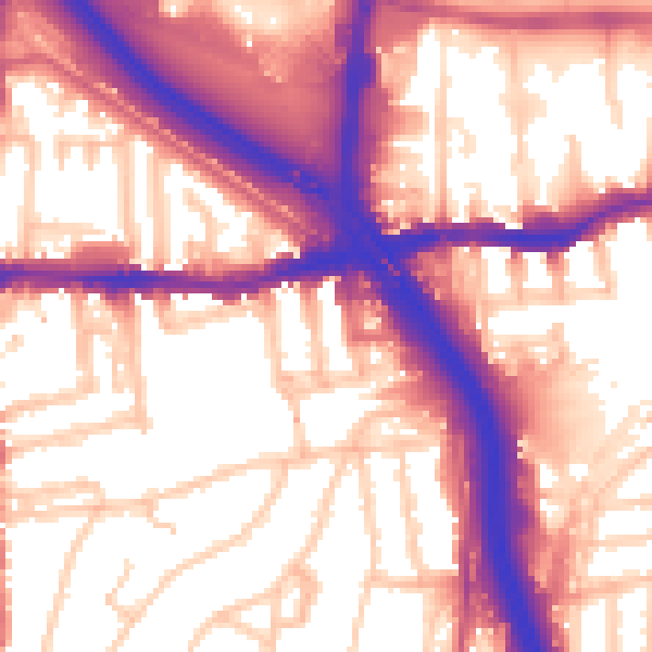
Daytime· 07:00 – 23:00
58.5dB

Night-time· 23:00 – 07:00
49.4dB