41 Kemsing Road, Greenwich, London, SE10 0LL
About 41 Kemsing Road
41 Kemsing Road is a five-bedroom mid-terrace house in Greenwich, London, London (SE10 0LL). It has a recorded floor area of 137 m² (around 1475 sq ft), construction records dating it to before 1900 and council tax band E. The latest certificate (June 2021) shows a D (score 60), on the cusp of jumping into the C band. The rating has held steady at D across 2 certificates since March 2021. Between certificates, window efficiency went from Poor to Average and lighting went from Good to Very Good; while hot-water efficiency dropped from Good to Average. The recommended improvements would push it to C (score 79). Period features are noted in the property record.
At 137 m² it's 29.9% larger than the typical home in the postcode (106 m² median across 26 EPCs). Across 2005–2022, sale prices on this property compounded at 8% per year. On a £-per-square-foot basis, the last sale (£622/sq ft) was about 87.6% above the typical sold price in the postcode. Last sale on file: £917,500 in May 2022. That sale was during the post-pandemic price surge, when transactions cleared materially above pre-2020 trend.
What this property has
Inside
- Bedrooms5
- Bathrooms2
- EnsuiteYes
Building
- Period featuresYes
- RefurbishedYes
Everything you need to know about 41 Kemsing Road
The true value, the hidden risks and the full sale history, in one report.
30-day money-back guarantee

The data behind every report


Energy performance
EPC Rating
Property Improvements
Changes detected from historical EPC data
Hot water system changed
Window efficiency improved
More low energy lighting installed
Get a survey for this property
Level 3 Building Survey
Because the property was built before 1919 and has solid (non-cavity) walls, we believe a Level 3 building survey should be considered.
From £1,495 · Includes VAT
Planning history
41 Kemsing Road has no planning applications on record.
Notable planning nearby
19applications of note in the surrounding area
We flagged 2 things worth checking at 41 Kemsing Road
Independent checks surfaced things a buyer would want to understand before offering. The report explains each one in full, with the underlying data and what to ask.
- Signs of HMO activity in the area
- Larger development activity nearby
30-day money-back guarantee
Sales history & valuation
41 Kemsing Road has more than tripled in price since its earliest registered sale in 2005.
£984,000
Modelled from EPC, postcode comparables and a sale-price growth of 8.0% per year over 17 years.
£917,500
Growth on file: 8.0% per year over 17 years.
Sales timeline
24 May 2022Most recent
£917,500
+123.8%over 13 years16 January 2009
£410,000
+64.0%over 3 years2 June 2005
£250,000
Median price across the last 5 sales in SE10 0LL: £850,000 (2025–2021).
Nearby sales in SE10 0LL
13 Kemsing Road, Greenwich, London, SE10 0LL
Sold Aug 2025
£800,00014 Kemsing Road, Greenwich, London, SE10 0LL
Sold Sept 2023
£995,00029 Kemsing Road, Greenwich, London, SE10 0LL
Sold Dec 2021
£795,00037 Kemsing Road, Greenwich, London, SE10 0LL
Sold Jun 2021
£995,00049 Kemsing Road, Greenwich, London, SE10 0LL
Sold Apr 2021
£850,000
Versus other Kemsing Road homes
Floor Area for 41 Kemsing Road runs comfortably ahead of the street norm.
Price per m²
£6,697
Street avg £6,131
Floor Area
137 m²
Street avg 108 m²
Habitable Rooms
7 rooms
Street avg 6 rooms
CO₂ Emissions
5.7 t/year
Street avg 4.5 t/year
Everything you need to know about 41 Kemsing Road
The true value, the hidden risks and the full sale history, in one report.
30-day money-back guarantee
The data behind every report
Similar properties nearby
1 Fingal Street, Greenwich
SE10 0JL
1 Caletock Way, Greenwich
SE10 0HW
1 Halstow Road, Greenwich
SE10 0LD
1 Fearon Street, Greenwich
SE10 0RS
1 Dandridge Close, Greenwich
SE10 0RP
1 Attwood Lane, Greenwich
SE10 0UT
1 Gilroy Street, Greenwich
SE10 0DL
1 Fergus Street, Greenwich
SE10 0XQ
The neighbourhood at a glance
Rail-style transport is unusually close for this postcode.
Crime
12/mo
Rising year-on-year across the wider district.
Nearest stop
0.1 km
Kemsing Road — bus stop.
Closest school
0.1 km
Halstow Primary School. 49 schools nearby.
Go deeper on the local area
The full report breaks down crime, transport links, schools and air quality in depth.
Road noise across the postcode
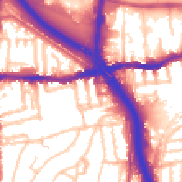
Daytime· 07:00 – 23:00
58.5dB

Night-time· 23:00 – 07:00
49.4dB