14 Kemsing Road, Greenwich, London, SE10 0LL
About 14 Kemsing Road
14 Kemsing Road is a five-bedroom mid-terrace house in Greenwich, London, London (SE10 0LL). It has a recorded floor area of 105 m² (around 1130 sq ft), construction records dating it to before 1900 and council tax band E. The latest certificate (January 2018) shows a D (score 60), on the cusp of jumping into the C band. The recommended improvements would lift it to B (score 82), a 2-band jump.
3 planning records sit against the property, 3 approved, 0 refused. Past consents include an extension and a loft conversion, meaningful when judging how the property has evolved. Across 2018–2023, sale prices on this property compounded at 5.2% per year. Today's modelled estimate of £1,146,000 is 15.2% above the 2023 sale price. On a £-per-square-foot basis, the last sale (£880/sq ft) was about 201.4% above the typical sold price in the postcode. Last sale on file: £995,000 in September 2023.
Know exactly what you're buying at 14 Kemsing Road
Before you offer, see what the listing won't tell you, the true value, the red flags and the full history.
Already flagged here
Valuation
against the asking price
Risks
planning & flood
Sold prices
similar homes nearby
Trends
the local market
What this property has
Inside
- Bedrooms5
- Bathrooms2
Energy performance
Recommended upgrades on file would lift this property by multiple EPC bands.
EPC Rating
Planning history
14 Kemsing Road has 2 separate extension applications on the council record.
- Aug 2020ExtensionFullIn report
Extension: Single storey · Rear of property
Construction of single storey ground floor rear infill extension.
- Documents
- 6 docs on file
- Reference
- 20/1544/HD
- Jul 2020ExtensionOutlineIn report
Extension: Single storey · Rear of property
Certificate of Lawfulness (Proposed) is sought for construction of a single storey rear extension.
- Agent
- Trevor Fairman
- Documents
- 8 docs on file
- Reference
- 20/1545/CP
We flagged 2 things worth checking at 14 Kemsing Road
Independent checks surfaced things a buyer would want to understand before offering. The report explains each one in full, with the underlying data and what to ask.
- Signs of HMO activity in the area
- Larger development activity nearby
30-day money-back guarantee
Sales history & valuation
14 Kemsing Road valuation sits well clear of the typical sold price in this postcode.
£1,146,000
Modelled from EPC, postcode comparables and a sale-price growth of 5.2% per year over 5 years.
£995,000
Growth on file: 5.2% per year over 5 years.
Sales timeline
3 September 2023Most recent
£995,000
+28.4%over 4 years14 October 2018
£775,000
Median price across the last 5 sales in SE10 0LL: £850,000 (2025–2021).
Nearby sales in SE10 0LL
13 Kemsing Road, Greenwich, London, SE10 0LL
Sold Aug 2025
£800,00041 Kemsing Road, Greenwich, London, SE10 0LL
Sold May 2022
£917,50029 Kemsing Road, Greenwich, London, SE10 0LL
Sold Dec 2021
£795,00037 Kemsing Road, Greenwich, London, SE10 0LL
Sold Jun 2021
£995,00049 Kemsing Road, Greenwich, London, SE10 0LL
Sold Apr 2021
£850,000
Everything we know about 14 Kemsing Road, in one report
What it's really worth, what could be wrong, and the planning, sales and area data in full.
What we flagged
- Signs of HMO activity in the area
- Larger development activity nearby

Versus other Kemsing Road homes
Price per m² for 14 Kemsing Road runs comfortably ahead of the street norm.
Price per m²
£9,476
Street avg £5,992
Floor Area
105 m²
Street avg 109 m²
Habitable Rooms
5 rooms
Street avg 6 rooms
CO₂ Emissions
4.1 t/year
Street avg 4.6 t/year
Similar properties nearby
1 Fingal Street, Greenwich
SE10 0JL
1 Halstow Road, Greenwich
SE10 0LD
1 Caletock Way, Greenwich
SE10 0HW
1 Fearon Street, Greenwich
SE10 0RS
1 Attwood Lane, Greenwich
SE10 0UT
1 Dandridge Close, Greenwich
SE10 0RP
1 Gilroy Street, Greenwich
SE10 0DL
1 Fergus Street, Greenwich
SE10 0XQ
The neighbourhood at a glance
Rail-style transport is unusually close for this postcode.
Crime
12/mo
Rising year-on-year across the wider district.
Nearest stop
0.1 km
Kemsing Road — bus stop.
Closest school
0.1 km
Halstow Primary School. 49 schools nearby.
Go deeper on the local area
The full report breaks down crime, transport links, schools and air quality in depth.
Road noise across the postcode
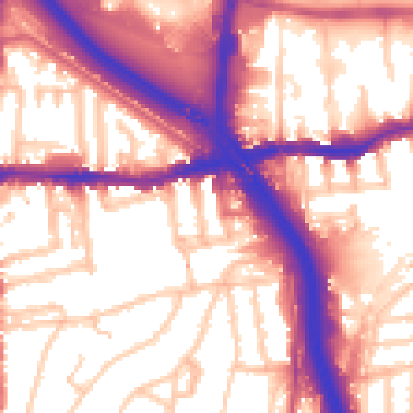
Daytime· 07:00 – 23:00
58.5dB

Night-time· 23:00 – 07:00
49.4dB