7 Dagmar Road, Dagenham, RM10 8XP
About 7 Dagmar Road
7 Dagmar Road is a three-bedroom property in Dagenham (RM10 8XP). It has council tax band E.
It hasn't traded since November 2006, a hold of 20 years that's notably long for the area. 4 planning records sit against the property, 2 approved, 1 refused. Past consents include an extension and a loft conversion, meaningful when judging how the property has evolved. Across 2003–2006, sale prices on this property compounded at 1.9% per year.
Know exactly what you're buying at 7 Dagmar Road
Before you offer, see what the listing won't tell you, the true value, the red flags and the full history.
Launch offer · save £5
Valuation
against the asking price
Risks
planning & flood
Sold prices
similar homes nearby
Trends
the local market
What this property has
Inside
- Bedrooms3
- Dining roomYes
Outside
- GarageYes
Building
- Heating systemgas
Energy performance
No EPC on record
This property doesn't have an Energy Performance Certificate yet. An EPC is required to sell or let — and unlocks our automated valuation.
Planning history
- Jun 2017Loft ConversionFullIn report
Extension: Single storey · Rear of property
Erection of single storey rear extension and loft conversion involving construction of rear dormer window.
Extension- Documents
- 7 docs on file
- Reference
- 17/00381/FUL
- Dec 2016Loft ConversionOutlineIn report
Application for a certificate of lawfulness for a proposed development: Loft conversion involving construction of part hip/part gable end roof and front rooflight.
- Documents
- 5 docs on file
- Reference
- 16/01354/CLU_P
What's in 7 Dagmar Road, Dagenham, RM10 8XP's planning history?
2 more on this property, plus refusals, disputes and full decisions nearby, in the report.
Sales history & valuation
£249,000
Growth on file: 1.9% per year over 3 years.
Sales timeline
13 November 2006Most recent
£249,000
+6.0%over 3 years22 September 2003
£235,000
Median price across the last 5 sales in RM10 8XP: £465,000 (2025–2019).
Everything we know about 7 Dagmar Road, in one report
What it's really worth, what could be wrong, and the planning, sales and area data in full.
- Am I paying too much?
- Is something wrong with it?
- Is the agent's story true?
- Will it hold its value?

Similar properties nearby
The neighbourhood at a glance
Rail-style transport is unusually close for this postcode.
Crime
7/mo
Rising year-on-year across the wider district.
Nearest stop
0.2 km
Ballards Road — bus stop.
Closest school
0.3 km
John Perry Primary School. 45 schools nearby.
Go deeper on the local area
The full report breaks down crime, transport links, schools and air quality in depth.
Road noise across the postcode
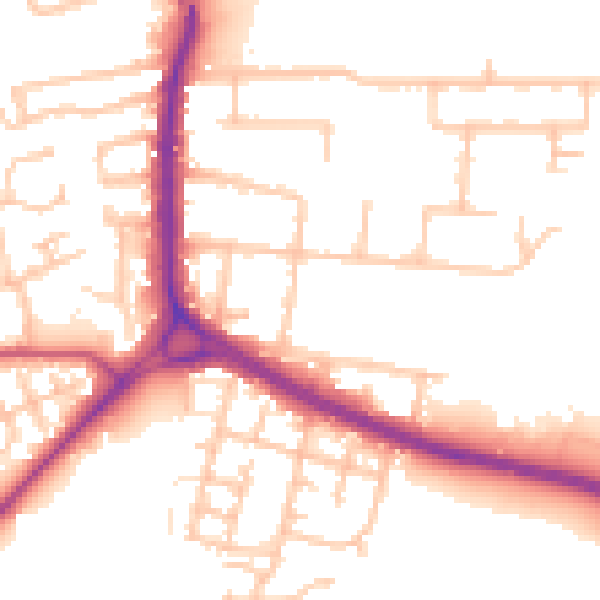
Daytime· 07:00 – 23:00
52.8dB

Night-time· 23:00 – 07:00
43.8dB