Chestnut Court, Flat 5, Hoskins Road, Oxted, RH8 9FJ
About Chestnut Court
Chestnut Court is a two-bedroom end-of-terrace house in Oxted (RH8 9FJ). It has a recorded floor area of 75 m² (around 807 sq ft) and council tax band E. Tenure is freehold. The latest certificate (July 2016) returns a high B (score 86), putting the home a stone's throw from an A rating. At 75 m² this is the 4th smallest of 9 units on EPC record in Chestnut Court, where floor areas span 56–96 m².
Across 2016–2023, sale prices on this property compounded at 2.3% per year. Sold December 2023 for £425,000.
Know exactly what you're buying at Chestnut Court
Before you offer, see what the listing won't tell you, the true value, the red flags and the full history.
Already flagged here
Valuation
against the asking price
Risks
planning & flood
Sold prices
similar homes nearby
Trends
the local market
What this property has
Inside
- Bedrooms2
- Bathrooms2
- EnsuiteYes
Outside
- Private gardenYes
- ParkingAllocated
Building
- TenureFreehold
- Central heatingYes
Energy performance
Chestnut Court's carbon output is low for the local stock.
EPC Rating
Planning history
Chestnut Court has no planning applications on record.
Notable planning nearby
3applications of note in the surrounding area
We flagged 1 thing worth checking at Chestnut Court
Independent checks surfaced things a buyer would want to understand before offering. The report explains each one in full, with the underlying data and what to ask.
- Larger development activity nearby
30-day money-back guarantee
Sales history & valuation
Chestnut Court saw 3 transfers in just over a decade — high turnover for the postcode.
£416,000
Modelled from EPC, postcode comparables and a sale-price growth of 2.3% per year over 7 years.
£425,000
Growth on file: 2.3% per year over 7 years.
Sales timeline
8 December 2023Most recent
£425,000
+1.2%over 3 years6 November 2020
£420,000
+16.7%over 4 years25 July 2016
£360,000
Median price across the last 5 sales in RH8 9FJ: £420,500 (2023–2016).
Nearby sales in RH8 9FJ
Chestnut Court, Flat 8, Hoskins Road, Oxted, RH8 9FJ
Sold Nov 2023
£420,000Chestnut Court, Flat 7, Hoskins Road, Oxted, RH8 9FJ
Sold Oct 2022
£475,000Chestnut Court, Flat 3, Hoskins Road, Oxted, RH8 9FJ
Sold Jun 2021
£420,500Chestnut Court, Flat 2, Hoskins Road, Oxted, RH8 9FJ
Sold Sept 2016
£285,000Chestnut Court, Flat 1, Hoskins Road, Oxted, RH8 9FJ
Sold Aug 2016
£460,000
Everything we know about Chestnut Court, in one report
What it's really worth, what could be wrong, and the planning, sales and area data in full.
What we flagged
- Larger development activity nearby

Versus other Hoskins Road homes
On years held, Chestnut Court runs well behind the street norm.
Price per m²
£5,667
Street avg £5,590
Floor Area
75 m²
Street avg 80 m²
CO₂ Emissions
0.7 t/year
Street avg 1.0 t/year
Years Held
2 years
Street avg 8 years
Similar properties nearby
Bonaly House, Flat 20, Neb Lane
RH8 9JZ
Bonaly House, Flat 21, Neb Lane
RH8 9JZ
Bonaly House, Flat 18, Neb Lane
RH8 9JZ
Bonaly House, Flat 11, Neb Lane
RH8 9JZ
Bonaly House, Flat 17, Neb Lane
RH8 9JZ
Bonaly House, Flat 15, Neb Lane
RH8 9JZ
Bonaly House, Flat 16, Neb Lane
RH8 9JZ
Bonaly House, Flat 8, Neb Lane
RH8 9JZ
The neighbourhood at a glance
Rail-style transport is unusually close for this postcode.
Crime
2/mo
Steady year-on-year across the wider district.
Nearest stop
0.2 km
Oxted Rail Station — railway station.
Closest school
0.5 km
Oxted School. 6 schools nearby.
Go deeper on the local area
The full report breaks down crime, transport links, schools and air quality in depth.
Road noise across the postcode
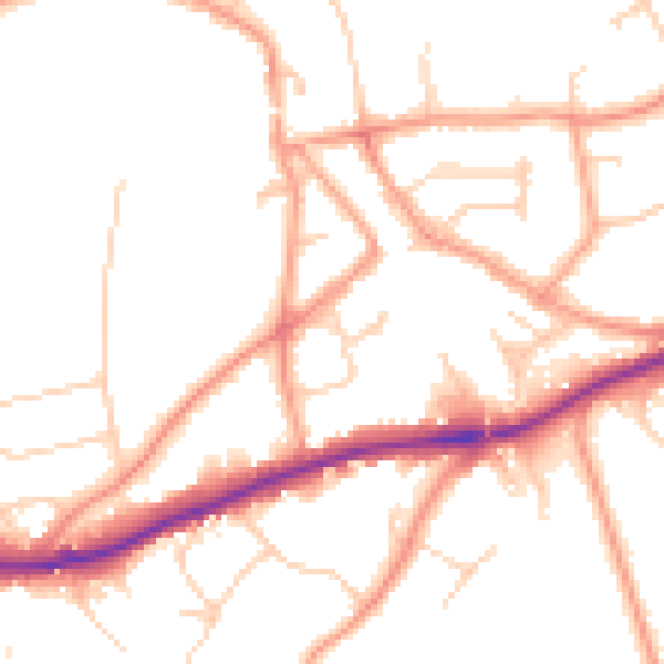
Daytime· 07:00 – 23:00
51.3dB

Night-time· 23:00 – 07:00
41.9dB