32 Johnsdale, Oxted, RH8 0BP
About 32 Johnsdale
32 Johnsdale is a two-bedroom semi-detached house in Oxted (RH8 0BP). It has a recorded floor area of 78 m² (around 840 sq ft), construction records dating it to 1930-1949 and council tax band D. The latest certificate (November 2008) shows an E (score 48), well below the UK norm with real room to improve. The recommended improvements would push it to D (score 57). The latest certificate is from November 2008, so improvements made since then won't be reflected.
Untraded for 17 years, with the last transfer in June 2009. That sale fell during the post-crash dip, which often skews comparisons against later neighbouring sales. Across 1997–2009, sale prices on this property compounded at 10.5% per year. Today's modelled estimate of £411,000 sits 64.4% above the 2009 sale of £250,000. It lags the bulk of the postcode on energy efficiency (less efficient than 70% of similar EPCs). One planning record on file: an extension refused in 2000.
Know exactly what you're buying at 32 Johnsdale
Before you offer, see what the listing won't tell you, the true value, the red flags and the full history.
Already flagged here
Valuation
against the asking price
Risks
planning & flood
Sold prices
similar homes nearby
Trends
the local market
What this property has
Inside
- Bedrooms2
Energy performance
32 Johnsdale's EPC is over a decade old — improvements since won't be reflected.
EPC Expired
This certificate is over 10 years old and is no longer valid.Expired 17 Nov 2018
EPC Rating
Planning history
- Feb 2000ExtensionFullIn report
Extension: Single storey · Rear of property
Erection of single storey rear extension.
- Documents
- 1 doc on file
- Reference
- 2000/8
We flagged 1 thing worth checking at 32 Johnsdale
Independent checks surfaced things a buyer would want to understand before offering. The report explains each one in full, with the underlying data and what to ask.
- Larger development activity nearby
30-day money-back guarantee
Sales history & valuation
Sale price has grown by over 3x since 1997.
£411,000
Modelled from EPC, postcode comparables and a sale-price growth of 10.5% per year over 12 years.
£250,000
Growth on file: 10.5% per year over 12 years.
Sales timeline
3 June 2009Most recent
£250,000
+38.9%over 6 years3 October 2002
£180,000
+143.2%over 5 years7 March 1997
£74,000
Median price across the last 5 sales in RH8 0BP: £505,000 (2025–2020).
Everything we know about 32 Johnsdale, in one report
What it's really worth, what could be wrong, and the planning, sales and area data in full.
What we flagged
- Larger development activity nearby

Versus other Johnsdale homes
Years Held for 32 Johnsdale runs comfortably ahead of the street norm.
Price per m²
£3,204
Street avg £5,068
Floor Area
78 m²
Street avg 85 m²
Habitable Rooms
4 rooms
Street avg 5 rooms
CO₂ Emissions
5.6 t/year
Street avg 4.7 t/year
Similar properties nearby
1 Downs Way
RH8 0NZ
1 Caxton House, Caxton Lane
RH8 0TE
1 Caxton Lodge, Caxton Lane
RH8 0TE
1 Detillens Cottages, High Street, Limpsfield
RH8 0DT
1 Eastlands Way
RH8 0LP
1 Champions Place Cottages, Kent Hatch Road
RH8 0TA
1 Evelyn Avenue, Pilgrims Lane, Titsey
RH8 0SF
1 Churchill Gardens
RH8 0EG
The neighbourhood at a glance
Rail-style transport is unusually close for this postcode.
Crime
2/mo
Steady year-on-year across the wider district.
Nearest stop
0.1 km
Council Offices — bus stop.
Closest school
0.4 km
Oxted School. 6 schools nearby.
Go deeper on the local area
The full report breaks down crime, transport links, schools and air quality in depth.
Road noise across the postcode
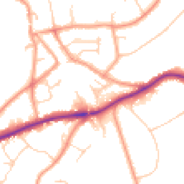
Daytime· 07:00 – 23:00
50.8dB

Night-time· 23:00 – 07:00
41.4dB