28 Johnsdale, Oxted, RH8 0BP
About 28 Johnsdale
28 Johnsdale is a three-bedroom semi-detached house in Oxted (RH8 0BP). It has a recorded floor area of 82 m² (around 883 sq ft), construction records dating it to 1930-1949 and council tax band D. The latest certificate (April 2023) shows a D (score 66), on the cusp of jumping into the C band. When first surveyed in October 2012 the rating was F, the property has climbed 2 bands since. Between certificates, roof efficiency went from Poor to Good, window efficiency went from Very Poor to Good and hot-water efficiency went from Poor to Good. The recommended improvements would lift it to B (score 89), a 2-band jump. Our model identifies extension potential, subject to local planning policy. The home occupies a cul-de-sac position.
3 planning records sit against the property, 2 approved, 0 refused. Past consents include an extension and a loft conversion, meaningful when judging how the property has evolved. Across 2012–2023, sale prices on this property compounded at 4.9% per year. On a £-per-square-foot basis, the last sale (£566/sq ft) was about 99.1% above the typical sold price in the postcode. Sold September 2023 for £500,000.
Know exactly what you're buying at 28 Johnsdale
Before you offer, see what the listing won't tell you, the true value, the red flags and the full history.
Already flagged here
Valuation
against the asking price
Risks
planning & flood
Sold prices
similar homes nearby
Trends
the local market
What this property has
Inside
- Bedrooms3
- Bathrooms1
- Open-plan layoutYes
- Dining roomYes
Outside
- Private gardenRear
- ParkingOff street
- Cul-de-sacYes
Building
- Extension potentialPossible
Energy performance
Recommended upgrades on file would lift this property by multiple EPC bands.
EPC Rating
Property Improvements
Changes detected from historical EPC data
Replaced storage heaters with gas boiler
Connected to mains gas supply
Heating controls upgraded for better temperature management
Hot water system upgraded
Single glazing replaced with double or better glazing
Heating controls upgraded for better temperature management
Window efficiency improved
Loft insulation upgraded to recommended levels
More low energy lighting installed
Planning history
- Aug 2024RenovationFullIn report
Creation of driveway and dropped kerb
- Documents
- 49 docs on file
- Reference
- 2024/447
- Mar 2024ExtensionAmendmentIn report
Extension: Single storey · Rear of property
Roof extension including hip to gable and rear dormer. Single storey rear extension (Certificate of lawfulness for proposed Use or Development)
- Documents
- 10 docs on file
- Reference
- 2024/157
We flagged 1 thing worth checking at 28 Johnsdale
Independent checks surfaced things a buyer would want to understand before offering. The report explains each one in full, with the underlying data and what to ask.
- Larger development activity nearby
30-day money-back guarantee
Sales history & valuation
28 Johnsdale valuation sits well clear of the typical sold price in this postcode.
£532,000
Modelled from EPC, postcode comparables and a sale-price growth of 4.9% per year over 11 years.
£500,000
Growth on file: 4.9% per year over 11 years.
Sales timeline
13 September 2023Most recent
£500,000
+66.7%over 10 years21 December 2012
£300,000
Median price across the last 5 sales in RH8 0BP: £510,000 (2025–2019).
Everything we know about 28 Johnsdale, in one report
What it's really worth, what could be wrong, and the planning, sales and area data in full.
What we flagged
- Larger development activity nearby

Versus other Johnsdale homes
On epc rating, 28 Johnsdale stands well clear of the street.
Price per m²
£6,098
Street avg £4,907
Floor Area
82 m²
Street avg 85 m²
Habitable Rooms
4 rooms
Street avg 5 rooms
CO₂ Emissions
3.6 t/year
Street avg 4.8 t/year
Similar properties nearby
1 Eastlands Way
RH8 0LP
1 Detillens Cottages, High Street, Limpsfield
RH8 0DT
1 Downs Way
RH8 0NZ
1 Churchill Gardens
RH8 0EG
1 Caxton House, Caxton Lane
RH8 0TE
1 Caxton Lodge, Caxton Lane
RH8 0TE
1 Champions Place Cottages, Kent Hatch Road
RH8 0TA
1 Central Way
RH8 0LS
The neighbourhood at a glance
Rail-style transport is unusually close for this postcode.
Crime
2/mo
Steady year-on-year across the wider district.
Nearest stop
0.1 km
Council Offices — bus stop.
Closest school
0.4 km
Oxted School. 6 schools nearby.
Go deeper on the local area
The full report breaks down crime, transport links, schools and air quality in depth.
Road noise across the postcode
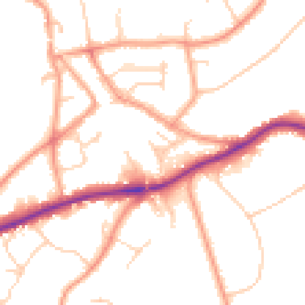
Daytime· 07:00 – 23:00
50.8dB

Night-time· 23:00 – 07:00
41.4dB