43f, Station Road East, Oxted, RH8 0AX
About 43f
43f is a mid-terrace house in Oxted (RH8 0AX). It has a recorded floor area of 77 m² (around 829 sq ft), construction records dating it to 1967-1975 and council tax band C. The latest certificate (March 2025) shows a C (score 72). The rating has held steady at C across 2 certificates since January 2015. Between certificates, hot-water efficiency dropped from Very Good to Good.
Its energy rating outperforms most of the postcode (better than 71% of similar EPCs). Across 2005–2015, sale prices on this property compounded at 4.2% per year. Today's modelled estimate of £337,000 is 23.7% above the 2015 sale price. On a £-per-square-foot basis, the last sale (£329/sq ft) was about 30.5% above the typical sold price in the postcode. Last changed hands 11 years ago, in August 2015.
Know exactly what you're buying at 43f
Before you offer, see what the listing won't tell you, the true value, the red flags and the full history.
Already flagged here
Valuation
against the asking price
Risks
planning & flood
Sold prices
similar homes nearby
Trends
the local market
Energy performance
EPC Rating
Property Improvements
Changes detected from historical EPC data
Hot water efficiency decreased
More low energy lighting installed
Planning history
43f has no planning applications on record.
Notable planning nearby
4applications of note in the surrounding area
We flagged 1 thing worth checking at 43f
Independent checks surfaced things a buyer would want to understand before offering. The report explains each one in full, with the underlying data and what to ask.
- Larger development activity nearby
30-day money-back guarantee
Sales history & valuation
43f valuation sits well clear of the typical sold price in this postcode.
£337,000
Modelled from EPC, postcode comparables and a sale-price growth of 4.2% per year over 10 years.
£272,500
Growth on file: 4.2% per year over 10 years.
Sales timeline
20 August 2015Most recent
£272,500
+52.0%over 10 years14 July 2005
£179,250
Median price across the last 5 sales in RH8 0AX: £300,000 (2024–2016).
Nearby sales in RH8 0AX
Everything we know about 43f, in one report
What it's really worth, what could be wrong, and the planning, sales and area data in full.
What we flagged
- Larger development activity nearby

Versus other Station Road East homes
On epc rating, 43f stands well clear of the street.
Price per m²
£3,539
Street avg £4,583
Floor Area
77 m²
Street avg 68 m²
Habitable Rooms
4 rooms
Street avg 3 rooms
CO₂ Emissions
2.6 t/year
Street avg 3.5 t/year
Similar properties nearby
1 Caxton Lodge, Caxton Lane
RH8 0TE
1 Bower Court, High Street, Limpsfield
RH8 0DY
1 Caxton House, Caxton Lane
RH8 0TE
1 Bank Flat, 1 Gresham Road
RH8 0BS
1 Downs Way
RH8 0NZ
1 Evelyn Avenue, Pilgrims Lane, Titsey
RH8 0SF
1 Broomlands Farm Cottages, Broomlands Lane
RH8 0SP
1 Eastlands Way
RH8 0LP
The neighbourhood at a glance
Rail-style transport is unusually close for this postcode.
Crime
2/mo
Steady year-on-year across the wider district.
Nearest stop
0.1 km
Oxted Railway Station — bus stop.
Closest school
0.3 km
Oxted School. 6 schools nearby.
Go deeper on the local area
The full report breaks down crime, transport links, schools and air quality in depth.
Road noise across the postcode
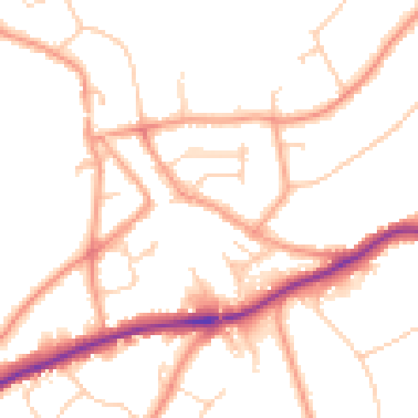
Daytime· 07:00 – 23:00
51.1dB

Night-time· 23:00 – 07:00
41.9dB