47 Bluehouse Lane, Oxted, RH8 0AJ
About 47 Bluehouse Lane
47 Bluehouse Lane is a detached house in Oxted (RH8 0AJ). It has a recorded floor area of 196 m² (around 2110 sq ft) and council tax band G. The latest certificate (November 2018) returns a high B (score 85), putting the home a stone's throw from an A rating.
At 196 m² the property is well over the postcode median (101 m² across 17 EPCs), placing it in the larger end of the local stock. On a £-per-square-foot basis, the last sale (£640/sq ft) was about 43.3% above the typical sold price in the postcode. 5 planning records sit against the property, 4 approved, 1 refused. Sold November 2018 for £1,350,000.
Know exactly what you're buying at 47 Bluehouse Lane
Before you offer, see what the listing won't tell you, the true value, the red flags and the full history.
Already flagged here
Valuation
against the asking price
Risks
planning & flood
Sold prices
similar homes nearby
Trends
the local market
Energy performance
EPC Rating
Planning history
47 Bluehouse Lane has been through 4 approved planning applications — a well-evolved property.
- Jan 2017ConditionsIn report
Details pursuant to condition 3 and 4
- Documents
- 7 docs on file
- Reference
- 2016/233/Cond2
- Jan 2017New BuildConditionsIn report
Demolition of 47 Bluehouse Lane and erection of 3 detached houses together with parking, garages and associated amenity areas. Variation of condition 2 of planning application 2016/233 dated 14 July 2016 to allow the formation a dormer window on the side roof slope of plot 1 and plot 2 in place of the approved rooflight.
- Documents
- 9 docs on file
- Reference
- 2016/2028
We flagged 1 thing worth checking at 47 Bluehouse Lane
Independent checks surfaced things a buyer would want to understand before offering. The report explains each one in full, with the underlying data and what to ask.
- Larger development activity nearby
30-day money-back guarantee
Sales history & valuation
47 Bluehouse Lane valuation sits well clear of the typical sold price in this postcode.
£1,466,000
Modelled from EPC, postcode comparables.
£1,350,000
Recorded with HM Land Registry.
Sales timeline
19 November 2018Most recent
£1,350,000
Median price across the last 5 sales in RH8 0AJ: £422,500 (2025–2023).
Nearby sales in RH8 0AJ
41c, Bluehouse Lane, Oxted, RH8 0AJ
Sold Mar 2025
£780,000Lynton House, Flat 3, 88 Bluehouse Lane, Oxted, RH8 0AJ
Sold Mar 2025
£385,000Lynton House, Flat 8, 88 Bluehouse Lane, Oxted, RH8 0AJ
Sold Jan 2024
£422,50098 Bluehouse Lane, Oxted, RH8 0AJ
Sold Aug 2023
£665,000Lynton House, Flat 4, 88 Bluehouse Lane, Oxted, RH8 0AJ
Sold Jan 2023
£415,000
Everything we know about 47 Bluehouse Lane, in one report
What it's really worth, what could be wrong, and the planning, sales and area data in full.
What we flagged
- Larger development activity nearby

Versus other Bluehouse Lane homes
47 Bluehouse Lane outperforms the street on price per m² by a wide margin.
Price per m²
£6,888
Street avg £5,405
Floor Area
196 m²
Street avg 155 m²
CO₂ Emissions
2.5 t/year
Street avg 5.0 t/year
Years Held
8 years
Street avg 8 years
Similar properties nearby
The neighbourhood at a glance
Rail-style transport is unusually close for this postcode.
Crime
2/mo
Steady year-on-year across the wider district.
Nearest stop
0.1 km
Oxted School — bus stop.
Closest school
0.1 km
Oxted School. 5 schools nearby.
Go deeper on the local area
The full report breaks down crime, transport links, schools and air quality in depth.
Road noise across the postcode
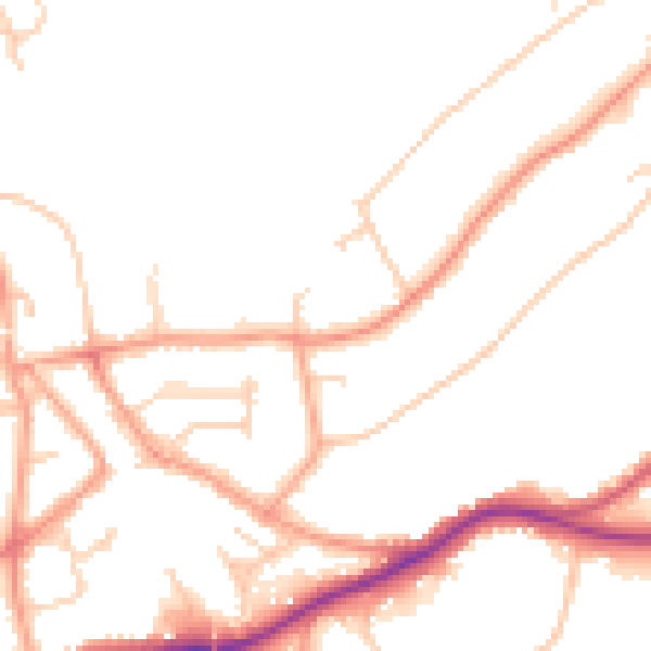
Daytime· 07:00 – 23:00
50.4dB

Night-time· 23:00 – 07:00
42.0dB