31 Acorn Avenue, Cowfold, Horsham, RH13 8RR
About 31 Acorn Avenue
31 Acorn Avenue is a two-bedroom mid-terrace house in Cowfold, Horsham, Horsham (RH13 8RR). It has a recorded floor area of 47 m² (around 511 sq ft), construction records dating it to 1983-1990 and council tax band C. The latest certificate (February 2011) shows an F (score 38), near the bottom of the EPC scale. The recommended improvements would lift it to C (score 70), a 3-band jump. Main heating runs on electricity. The latest certificate is from February 2011, so improvements made since then won't be reflected.
At 47 m² it's 18.9% smaller than the typical home in the postcode (59 m² median across 16 EPCs). On energy efficiency it sits in the bottom 10% of properties in this postcode — significant headroom for improvement. Across 1997–2013, sale prices on this property compounded at 4.1% per year. Today's modelled estimate of £227,000 sits 110.2% above the 2013 sale of £108,000. On a £-per-square-foot basis, the last sale (£211/sq ft) was about 15.9% below the postcode norm. 12 years since the last transfer (December 2013). Across the public record there are 4 sales, relatively high churn for a single property.
What this property has
Inside
- Bedrooms2
Outside
- Private gardenYes
- GarageYes
Building
- Heating systemGas
Everything you need to know about 31 Acorn Avenue
The true value, the hidden risks and the full sale history, in one report.
Pick your report · every report is £14.99
One time fee only - money back guarantee

The data behind every report


Energy performance
31 Acorn Avenue sits at the bottom of the postcode for energy efficiency — meaningful headroom to improve.
EPC Expired
This certificate is over 10 years old and is no longer valid.Expired 01 Feb 2021
EPC Rating
Get a survey for this property
Level 3 Building Survey
Because the property has no mains gas supply, we believe a Level 3 building survey should be considered.
From £885 · Includes VAT
Planning history
31 Acorn Avenue has no planning applications on record.
But the area is active
9 notable applications nearby — larger schemes and conversions that could reshape the street. The report maps them all.
Sales history & valuation
31 Acorn Avenue's modelled value sits at over four times its earliest registered sale price (1997).
£227,000
Modelled from EPC, postcode comparables and a sale-price growth of 4.1% per year over 17 years.
£108,000
Growth on file: 4.1% per year over 17 years.
Sales timeline
20 December 2013Most recent
£108,000
-37.6%over 2 years26 June 2011
£173,000
+12.0%over 6 years8 July 2004
£154,500
+181.2%over 7 years21 March 1997
£54,950
Median price across the last 5 sales in RH13 8RR: £305,000 (2024–2021).
Nearby sales in RH13 8RR
33 Acorn Avenue, Cowfold, Horsham, RH13 8RR
Sold Jan 2024
£245,00045 Acorn Avenue, Cowfold, Horsham, RH13 8RR
Sold Jul 2022
£540,0007 Acorn Avenue, Cowfold, Horsham, RH13 8RR
Sold Oct 2021
£305,00047 Acorn Avenue, Cowfold, Horsham, RH13 8RR
Sold Jun 2021
£400,00027 Acorn Avenue, Cowfold, Horsham, RH13 8RR
Sold Jan 2021
£295,000
Versus other Acorn Avenue homes
Price per m² for 31 Acorn Avenue lags the street by a wide margin.
Price per m²
£2,277
Street avg £3,995
Floor Area
47 m²
Street avg 69 m²
Habitable Rooms
3 rooms
Street avg 4 rooms
CO₂ Emissions
3.0 t/year
Street avg 4.8 t/year
Everything you need to know about 31 Acorn Avenue
The true value, the hidden risks and the full sale history, in one report.
Pick your report · every report is £14.99
One time fee only - money back guarantee
The data behind every report
Similar properties nearby
1 Cambria Close, Partridge Green
RH13 8GW
1 Chapman Court, Tideys Mill, Partridge Green
RH13 8WB
1 Brockhurst Cottages, Billingshurst Road, Coolham
RH13 8QN
1 Church Terrace, Station Road, Cowfold
RH13 8DA
1 Baileys Cottages, Brooks Green Road, Coolham
RH13 8GR
1 Alley Groves, Cowfold
RH13 8BN
1 Buckwood Cottages, Worthing Road, West Grinstead
RH13 8GH
1 Champions Gate Cottages, Cowfold Road, West Grinstead
RH13 8LZ
The neighbourhood at a glance
Daytime road noise here sits well below conversation level — a quiet pocket of the postcode.
Crime
3/mo
Steady year-on-year across the wider district.
Nearest stop
0.3 km
South Leas — bus stop.
Closest school
0.6 km
St Peter's CofE (Aided) Primary School. 1 school nearby.
Go deeper on the local area
A Local Area report breaks down crime, transport links, schools and air quality in depth.
Road noise across the postcode
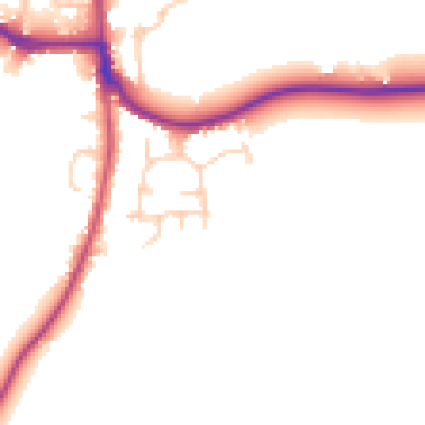
Daytime· 07:00 – 23:00
48.2dB

Night-time· 23:00 – 07:00
42.1dB