7 Aster Road, Basingstoke, RG22 5NQ
About 7 Aster Road
7 Aster Road is a three-bedroom detached house in Basingstoke (RG22 5NQ). It has a recorded floor area of 99 m² (around 1066 sq ft), construction records dating it to 1967-1975 and council tax band D. The latest certificate (February 2017) shows a C (score 70). The recommended improvements would push it to B (score 84).
At 99 m² it's 18.3% smaller than the typical home in the postcode (121 m² median across 8 EPCs). Its energy rating outperforms most of the postcode (better than 88% of similar EPCs). Across 2005–2017, sale prices on this property compounded at 4.7% per year. Today's modelled estimate of £467,000 is 19.7% above the 2017 sale price. On a £-per-square-foot basis, the last sale (£366/sq ft) was about 88.4% above the typical sold price in the postcode. On the market in March 2017 and unlisted since — roughly 9 years.
What this property has
Inside
- Bedrooms3
- Bathrooms1
- Dining roomYes
- Utility roomYes
Outside
- GarageYes
Building
- Heating systemGas
Everything you need to know about 7 Aster Road
The true value, the hidden risks and the full sale history, in one report.
30-day money-back guarantee

The data behind every report


Energy performance
EPC Rating
Planning history
7 Aster Road has no planning applications on record.
The full report still covers planning activity across the surrounding area.
Sales history & valuation
7 Aster Road valuation sits well clear of the typical sold price in this postcode.
£467,000
Modelled from EPC, postcode comparables and a sale-price growth of 4.7% per year over 12 years.
£390,000
Growth on file: 4.7% per year over 12 years.
Sales timeline
24 March 2017Most recent
£390,000
+71.1%over 11 years2 August 2005
£228,000
Median price across the last 5 sales in RG22 5NQ: £380,000 (2023–2011).
Nearby sales in RG22 5NQ
Versus other Aster Road homes
7 Aster Road outperforms the street on co₂ emissions by a wide margin.
Price per m²
£3,939
Street avg £2,854
Floor Area
99 m²
Street avg 120 m²
Habitable Rooms
5 rooms
Street avg 6 rooms
CO₂ Emissions
3.6 t/year
Street avg 5.0 t/year
Everything you need to know about 7 Aster Road
The true value, the hidden risks and the full sale history, in one report.
30-day money-back guarantee
The data behind every report
Similar properties nearby
1 Ambleside Close
RG22 5GZ
1 Dahlia Close
RG22 5RQ
1 Chaffinch Close
RG22 5QD
1 Buckskin Lane
RG22 5AA
1 Cambrian Way
RG22 5AQ
1 Coniston Road
RG22 5HT
1 Chippenham Close
RG22 5AU
1 Antrim Close
RG22 5BS
The neighbourhood at a glance
Crime
7/mo
Steady year-on-year across the wider district.
Nearest stop
0.2 km
Aster Road — bus stop.
Closest school
0.7 km
Kempshott Junior School. 15 schools nearby.
Go deeper on the local area
The full report breaks down crime, transport links, schools and air quality in depth.
Road noise across the postcode
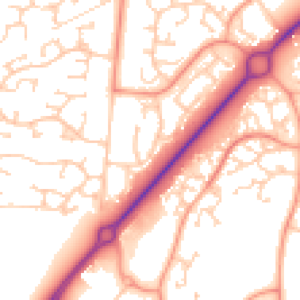
Daytime· 07:00 – 23:00
54.0dB

Night-time· 23:00 – 07:00
42.8dB