10 Carr Holme Gardens, Cabus, Preston, PR3 1LY
About 10 Carr Holme Gardens
10 Carr Holme Gardens is a five-bedroom property in Cabus, Preston, Preston (PR3 1LY). It has council tax band F.
Untraded for 20 years, with the last transfer in May 2006. Across 2002–2006, sale prices on this property compounded at 12.7% per year.
What this property has
Inside
- Bedrooms5
Everything you need to know about 10 Carr Holme Gardens
The true value, the hidden risks and the full sale history, in one report.
Pick your report · every report is £14.99
One time fee only - money back guarantee

The data behind every report


Energy performance
No EPC on record
This property doesn't have an Energy Performance Certificate yet. An EPC is required to sell or let — and unlocks our automated valuation.
Get a survey for this property
Level 2 HomeBuyer Report
We've checked 10 risk factors against the available data for this property and believe a Level 2 HomeBuyer Report could be a suitable option for you.
Planning history
10 Carr Holme Gardens has no planning applications on record.
But the area is active
10 notable applications nearby — larger schemes and conversions that could reshape the street. The report maps them all.
Sales history & valuation
10 Carr Holme Gardens saw 3 transfers in just over a decade — high turnover for the postcode.
£390,000
Growth on file: 12.7% per year over 4 years.
Sales timeline
18 May 2006Most recent
£390,000
+38.1%over 3 years28 March 2003
£282,500
+13.0%over 7 months1 September 2002
£250,000
Median price across the last 5 sales in PR3 1LY: £398,000 (2024–2017).
Nearby sales in PR3 1LY
20 Carr Holme Gardens, Cabus, Preston, PR3 1LY
Sold Jan 2024
£530,00018 Carr Holme Gardens, Cabus, Preston, PR3 1LY
Sold May 2021
£420,00028 Carr Holme Gardens, Cabus, Preston, PR3 1LY
Sold Dec 2019
£350,00024 Carr Holme Gardens, Cabus, Preston, PR3 1LY
Sold Feb 2019
£398,0004 Carr Holme Gardens, Cabus, Preston, PR3 1LY
Sold Aug 2017
£375,000
Everything you need to know about 10 Carr Holme Gardens
The true value, the hidden risks and the full sale history, in one report.
Pick your report · every report is £14.99
One time fee only - money back guarantee
The data behind every report
Similar properties nearby
1 Broom Hill Coppice, Cabus
PR3 1LX
1 Broom Field, Bowgreave
PR3 1TG
1 Burnside Avenue, Calder Vale
PR3 1SE
1 Beech Mount, High Street, Garstang
PR3 1EB
1 Bowland View, Cabus
PR3 1LR
1 Broad Oak Avenue, Garstang
PR3 1QQ
1 Brooklands Drive, Garstang
PR3 1QP
1 Barnacre View, High Street, Garstang
PR3 1EB
The neighbourhood at a glance
Crime
3/mo
Steady year-on-year across the wider district.
Nearest stop
0.2 km
Norton Road — bus stop.
Closest school
0.7 km
Garstang Community Primary School. 6 schools nearby.
Go deeper on the local area
A Local Area report breaks down crime, transport links, schools and air quality in depth.
Road noise across the postcode
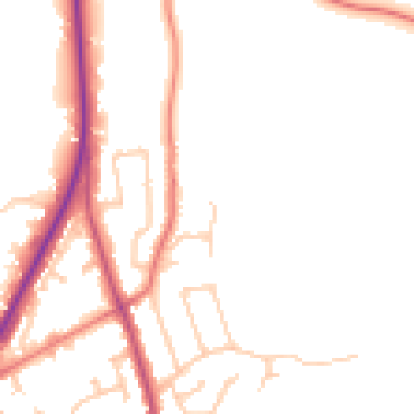
Daytime· 07:00 – 23:00
51.6dB

Night-time· 23:00 – 07:00
44.5dB