46 Woodfield Avenue, Portsmouth, PO6 1AP
About 46 Woodfield Avenue
46 Woodfield Avenue is a three-bedroom semi-detached house in Portsmouth (PO6 1AP). It has a recorded floor area of 84 m² (around 904 sq ft), construction records dating it to 1930-1949 and council tax band D. The latest certificate (August 2017) shows an F (score 23), near the bottom of the EPC scale. The recommended improvements would lift it to B (score 83), a 4-band jump. Main heating runs on electricity. Other recorded features include notable views and a conservatory. The home occupies a cul-de-sac position.
At 84 m² it's 25% smaller than the typical home in the postcode (112 m² median across 18 EPCs). On energy efficiency it sits in the bottom 10% of properties in this postcode — significant headroom for improvement. Today's modelled estimate of £389,000 sits 53.8% above the 2018 sale of £253,000. On a £-per-square-foot basis, the last sale (£280/sq ft) was about 27.9% above the typical sold price in the postcode. Last sold in January 2018, so it's been off the market for around 8 years. 3 planning records sit against the property, 0 approved, 1 refused.
Know exactly what you're buying at 46 Woodfield Avenue
Before you offer, see what the listing won't tell you, the true value, the red flags and the full history.
Already flagged here
Valuation
against the asking price
Risks
planning & flood
Sold prices
similar homes nearby
Trends
the local market
What this property has
Inside
- Bedrooms3
- Bathrooms1
- ConservatoryYes
Outside
- Private gardenSouth-facing
- Notable viewsYes
- Cul-de-sacYes
Building
- RefurbishedYes
Energy performance
46 Woodfield Avenue sits at the bottom of the postcode for energy efficiency — meaningful headroom to improve.
EPC Rating
Planning history
Planning history includes both a loft conversion and an extension — the classic family-home expansion.
- Mar 2019ExtensionFullIn report
Extension: Single storey · Rear of property
Retrospective planning application for the construction of a single storey rear extension; raised decking and associated fencing to the garden and the rendering of the property
Retrospective- Documents
- 11 docs on file
- Reference
- 19/00206/HOU
- Aug 2018Loft ConversionFullIn report
Construction of dormer window to front roofslope
- Documents
- 10 docs on file
- Reference
- 18/01037/HOU
We flagged 1 thing worth checking at 46 Woodfield Avenue
Independent checks surfaced things a buyer would want to understand before offering. The report explains each one in full, with the underlying data and what to ask.
- Signs of HMO activity in the area
30-day money-back guarantee
Sales history & valuation
46 Woodfield Avenue valuation sits well clear of the typical sold price in this postcode.
£389,000
Modelled from EPC, postcode comparables.
£253,000
Recorded with HM Land Registry.
Sales timeline
12 January 2018Most recent
£253,000
Median price across the last 5 sales in PO6 1AP: £475,000 (2025–2020).
Nearby sales in PO6 1AP
52 Woodfield Avenue, Portsmouth, PO6 1AP
Sold May 2025
£475,0004 Woodfield Avenue, Portsmouth, PO6 1AP
Sold Jun 2023
£610,00054 Woodfield Avenue, Portsmouth, PO6 1AP
Sold Mar 2023
£350,17530 Woodfield Avenue, Portsmouth, PO6 1AP
Sold Feb 2021
£505,00012 Woodfield Avenue, Portsmouth, PO6 1AP
Sold Dec 2020
£320,000
Everything we know about 46 Woodfield Avenue, in one report
What it's really worth, what could be wrong, and the planning, sales and area data in full.
What we flagged
- Signs of HMO activity in the area

Versus other Woodfield Avenue homes
EPC Rating for 46 Woodfield Avenue lags the street by a wide margin.
Price per m²
£3,012
Street avg £3,180
Floor Area
84 m²
Street avg 114 m²
Habitable Rooms
4 rooms
Street avg 5 rooms
CO₂ Emissions
10.0 t/year
Street avg 4.8 t/year
Similar properties nearby
1 Hardy Road
PO6 1JY
1 Copsey Close, Drayton
PO6 1NT
1 Copsey Grove, Drayton
PO6 1NA
1 Acorn Close
PO6 1AU
1 Elmtree Road
PO6 1AY
1 Copper Beech Drive
PO6 1AZ
1 Highlands Road, Drayton
PO6 1HL
1 Blake Road, Drayton
PO6 1ET
The neighbourhood at a glance
Crime
9/mo
Steady year-on-year across the wider district.
Nearest stop
0.2 km
St Andrews Church — bus stop.
Closest school
0.7 km
Solent Infant School. 24 schools nearby.
Go deeper on the local area
The full report breaks down crime, transport links, schools and air quality in depth.
Road noise across the postcode
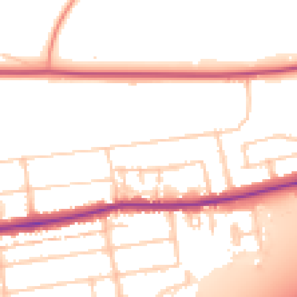
Daytime· 07:00 – 23:00
52.9dB

Night-time· 23:00 – 07:00
44.2dB