29 West Drove North, Gedney Hill, Spalding, PE12 0NT
About 29 West Drove North
29 West Drove North is a three-bedroom semi-detached house in Gedney Hill, Spalding, Spalding (PE12 0NT). It has a recorded floor area of 80 m² (around 861 sq ft), construction records dating it to 1900-1929 and council tax band A. The latest certificate (April 2019) shows a G (score 6), near the bottom of the EPC scale. Earlier certificates rated it F (March 2009); the latest reading is one band lower. Between certificates, roof efficiency went from Very Poor to Good; while window efficiency dropped from Good to Average and hot-water efficiency dropped from Average to Very Poor. The recommended improvements would lift it to B (score 81), a 5-band jump. Main heating runs on to be used only when there is no heating/hot. Other recorded features include attached land beyond the plot. Our model identifies extension potential, subject to local planning policy.
On energy efficiency it sits in the bottom 10% of properties in this postcode — significant headroom for improvement. Last sale on file: £180,000 in April 2021. Across the public record there are 4 sales, relatively high churn for a single property. That sale was during the post-pandemic price surge, when transactions cleared materially above pre-2020 trend. Across 1999–2021, sale prices on this property compounded at 4.1% per year. Today's modelled estimate of £245,000 is 36.1% above the 2021 sale price.
What this property has
Inside
- Bedrooms3
- Bathrooms2
Outside
- Private gardenYes
- ParkingOff street
- LandYes
Building
- RefurbishedYes
- Extension potentialPossible
Everything you need to know about 29 West Drove North
The true value, the hidden risks and the full sale history, in one report.
Pick your report · from £14.99
One time fee only - money back guarantee
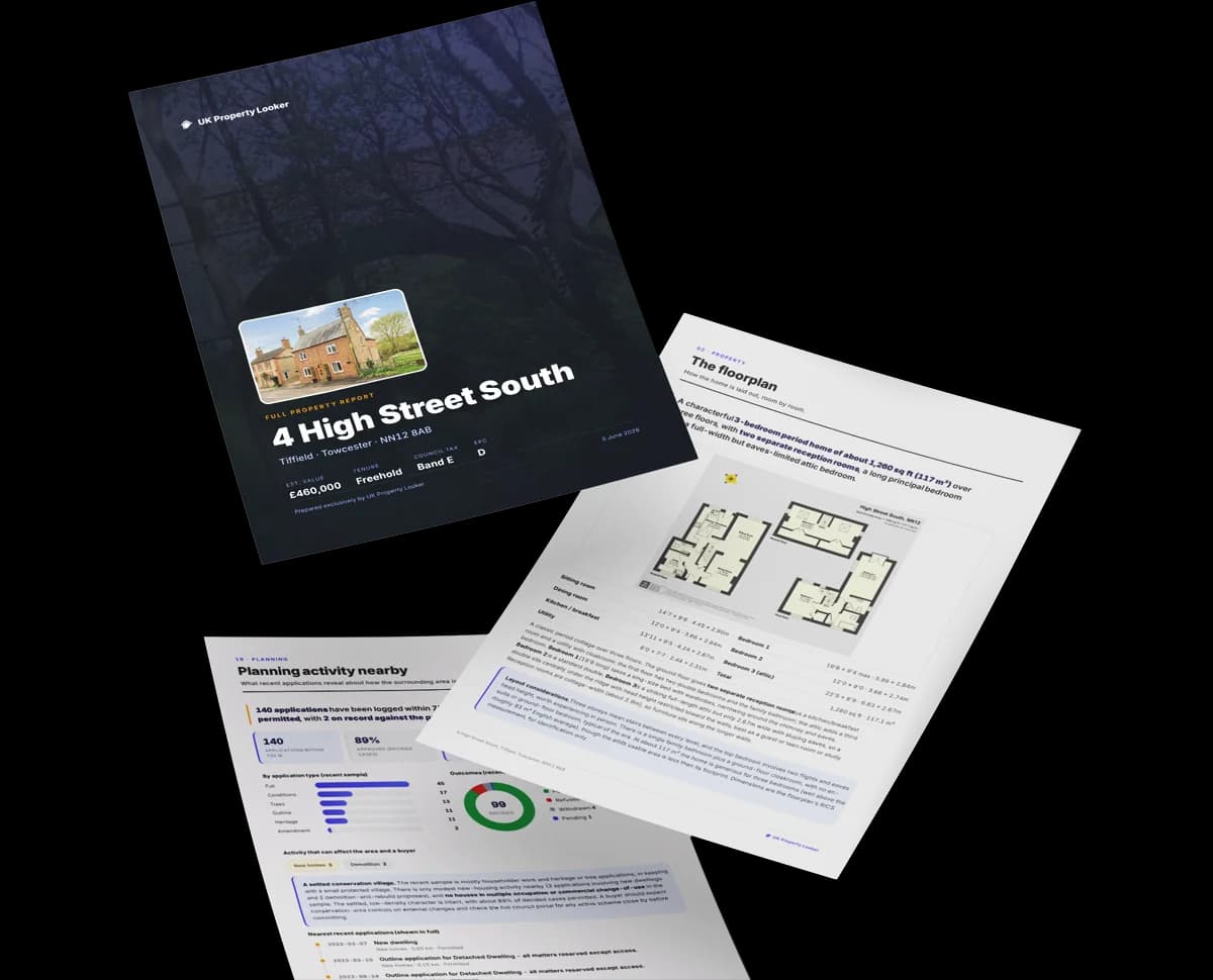
The data behind every report


Energy performance
29 West Drove North sits at the bottom of the postcode for energy efficiency — meaningful headroom to improve.
EPC Rating
Certificate validity
Valid until 9 April 2029
Property Improvements
Changes detected from historical EPC data
Heating system changed
Hot water system changed
Windows upgraded, improving insulation
Loft insulation installed or upgraded to 250mm+
Low energy lighting percentage decreased

Get a survey for this property
Level 3 Building Survey
Because the property was built before 1919, has no mains gas supply, and has solid (non-cavity) walls, we believe a Level 3 building survey should be considered.
From £885 · Includes VAT
Planning history
29 West Drove North has no planning applications on record.
But the area is active
2 notable applications nearby — larger schemes and conversions that could reshape the street. The report maps them all.
Sales history & valuation
29 West Drove North has more than doubled in price since the earliest registered sale in 1999.
£245,000
Modelled from EPC, postcode comparables and a sale-price growth of 4.1% per year over 22 years.
£180,000
Growth on file: 4.1% per year over 22 years.
Sales timeline
29 April 2021Most recent
£180,000
+2.9%over 1 year6 May 2019
£175,000
+52.2%over 3 years22 September 2015
£115,000
+53.3%over 16 years6 July 1999
£75,000
Median price across the last 5 sales in PE12 0NT: £235,000 (2023–2020).
Nearby sales in PE12 0NT
90 West Drove North, Gedney Hill, Spalding, PE12 0NT
Sold May 2023
£192,50078 West Drove North, Gedney Hill, Spalding, PE12 0NT
Sold Jun 2022
£235,00031 West Drove North, Gedney Hill, Spalding, PE12 0NT
Sold Feb 2022
£260,00053 West Drove North, Gedney Hill, Spalding, PE12 0NT
Sold Jun 2021
£699,99580 West Drove North, Gedney Hill, Spalding, PE12 0NT
Sold May 2002
£31,000
Versus other West Drove North homes
EPC Rating for 29 West Drove North lags the street by a wide margin.
Price per m²
£2,250
Street avg £2,268
Floor Area
80 m²
Street avg 99 m²
Habitable Rooms
4 rooms
Street avg 5 rooms
CO₂ Emissions
8.5 t/year
Street avg 5.3 t/year
Everything you need to know about 29 West Drove North
The true value, the hidden risks and the full sale history, in one report.
Pick your report · from £14.99
One time fee only - money back guarantee
The data behind every report
Similar properties nearby
1 Church View, Topsgate, Gedney
PE12 0BS
1 Bramley Meadows, Gedney
PE12 0BN
1 Churchgate, Gedney
PE12 0BZ
1 Cross Road, Sutton St Edmund
PE12 0LS
1 Anvil Close, Gedney Dyke
PE12 0BG
1 Bells Drove, Sutton St James
PE12 0JG
1 Churchgate Mews, Gedney
PE12 0BQ
1 Bette Campling Close, Sutton St James
PE12 0ED
The neighbourhood at a glance
Daytime road noise here sits well below conversation level — a quiet pocket of the postcode.
Crime
226/mo
Steady year-on-year across the wider district.
Nearest stop
1.2 km
West Drove North — bus stop.
Closest school
1.0 km
The Gedney Hill Church of England VC Primary School. 1 school nearby.
Go deeper on the local area
A Local Area report breaks down crime, transport links, schools and air quality in depth.
Road noise across the postcode

Daytime· 07:00 – 23:00
44.7dB

Night-time· 23:00 – 07:00
36.4dB