27a, Quadring Road, Donington, Spalding, PE11 4TD
About 27a
27a is a four-bedroom detached house in Donington, Spalding, Spalding (PE11 4TD). It has a recorded floor area of 185 m² (around 1991 sq ft) and construction records dating it to 1996-2002. The latest certificate (October 2019) shows a D (score 67), on the cusp of jumping into the C band. When first surveyed in October 2009 the rating was E, the property has climbed 1 band since. Between certificates, hot-water efficiency went from Average to Good. The recommended improvements would lift it to B (score 81), a 2-band jump. Other recorded features include a conservatory. Our model identifies extension potential, subject to local planning policy.
At 185 m² the property is well over the postcode median (93 m² across 22 EPCs), placing it in the larger end of the local stock. On a £-per-square-foot basis, the last sale (£213/sq ft) was about 71.6% above the typical sold price in the postcode. 5 planning records sit against the property, 0 approved, 0 refused. Last sale on file: £425,000 in June 2021. That sale was during the post-pandemic price surge, when transactions cleared materially above pre-2020 trend.
What this property has
Inside
- Bedrooms4
- Bathrooms1
- EnsuiteYes
- ConservatoryYes
Outside
- Private gardenRear
- GarageDouble
Building
- Central heatingYes
- Extension potentialPossible
Everything you need to know about 27a
The true value, the hidden risks and the full sale history, in one report.
Pick your report · from £14.99
One time fee only - money back guarantee

The data behind every report


Energy performance
27a's carbon output runs well above what efficient homes in the postcode produce.
EPC Rating
Certificate validity
Valid until 30 October 2029
Property Improvements
Changes detected from historical EPC data
Heating controls changed
Hot water system upgraded
More low energy lighting installed
Ventilation system changed

Get a survey for this property
Level 2 HomeBuyer Report
We've checked 10 risk factors against the available data for this property and believe a Level 2 HomeBuyer Report could be a suitable option for you.
From £695 · Includes VAT
Planning history
5 applications on record at 27a, Quadring Road, Donington, Spalding, PE11 4TD
- May 2007New BuildOutlineOutcome in report
Residential development - Erect 2 two-storey dwellings
- Documents
- 4 docs on file
- Reference
- H04-0393-07
- More recent applications — locked
- New BuildOct 2016Decision
- ConditionsMar 2015Decision
+ 2 more applications in the report
Unlock 27a, Quadring Road, Donington, Spalding, PE11 4TD's full planning history
You're seeing the shape of it. The report has the substance.
- Every decision — granted, refused or withdrawn
- All 5 applications on this property in full, plus 9 notable nearby
- The 37 documents, officer reports & conditions
- What the pattern means for extending or converting here
One time fee only - money back guarantee
Sales history & valuation
Latest sale on 27a was the highest on Land Registry record across the postcode.
£430,000
Modelled from EPC, postcode comparables.
£425,000
Recorded with HM Land Registry.
Sales timeline
24 June 2021Most recent
£425,000
Median price across the last 5 sales in PE11 4TD: £245,000 (2025–2021).
Nearby sales in PE11 4TD
39 Quadring Road, Donington, Spalding, PE11 4TD
Sold Feb 2025
£57,00031 Quadring Road, Donington, Spalding, PE11 4TD
Sold Jun 2024
£215,00027 Quadring Road, Donington, Spalding, PE11 4TD
Sold May 2024
£276,00027c, Quadring Road, Donington, Spalding, PE11 4TD
Sold May 2024
£350,00034 Quadring Road, Donington, Spalding, PE11 4TD
Sold Sept 2021
£245,000
Versus other Quadring Road homes
27a outperforms the street on floor area by a wide margin.
Price per m²
£2,297
Street avg £1,588
Floor Area
185 m²
Street avg 109 m²
Habitable Rooms
7 rooms
Street avg 5 rooms
CO₂ Emissions
6.8 t/year
Street avg 5.0 t/year
Everything you need to know about 27a
The true value, the hidden risks and the full sale history, in one report.
Pick your report · from £14.99
One time fee only - money back guarantee
The data behind every report
Similar properties nearby
1 Ashwin Gate, Quadring
PE11 4QG
1 Casswell Drive, Quadring
PE11 4QW
1 Bakers Yard, Gosberton
PE11 4EQ
1 Brewers Court, Donington
PE11 4US
1 Cedar Close, Quadring
PE11 4GP
1 Boyfields, Quadring
PE11 4QQ
1 Barehams Lane, Quadring
PE11 4PX
1 Beech Grove, Donington
PE11 4XQ
The neighbourhood at a glance
Daytime road noise here sits well below conversation level — a quiet pocket of the postcode.
Crime
276/mo
Falling year-on-year across the wider district.
Nearest stop
0.0 km
Pumping Station — bus stop.
Closest school
0.3 km
Cowley Academy. 3 schools nearby.
Go deeper on the local area
A Local Area report breaks down crime, transport links, schools and air quality in depth.
Road noise across the postcode
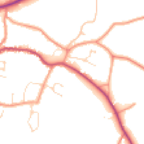
Daytime· 07:00 – 23:00
49.5dB
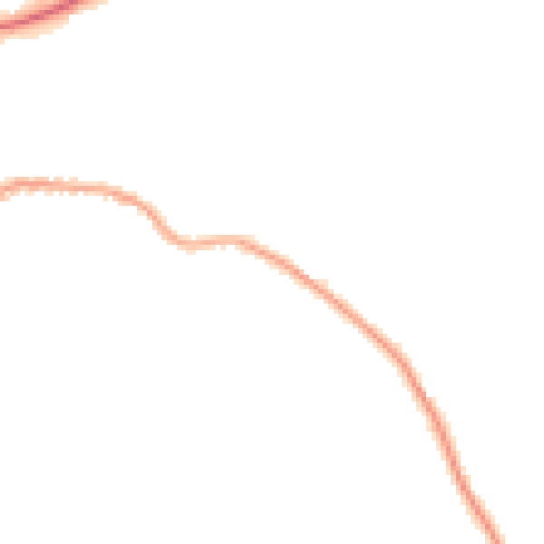
Night-time· 23:00 – 07:00
40.8dB