3 5, Caxton Road, Beccles, NR34 9DS
About 3 5
3 5 is a three-bedroom mid-terrace house in Beccles (NR34 9DS). It has a recorded floor area of 69 m² (around 743 sq ft), construction records dating it to before 1900 and council tax band B. The latest certificate (June 2017) shows an F (score 38), near the bottom of the EPC scale. The recommended improvements would lift it to B (score 84), a 4-band jump. Period features are noted in the property record.
On energy efficiency it sits in the bottom 10% of properties in this postcode — significant headroom for improvement.
Know exactly what you're buying at 3 5
Before you offer, see what the listing won't tell you, the true value, the red flags and the full history.
Valuation
against the asking price
Risks
planning & flood
Sold prices
similar homes nearby
Trends
the local market
What this property has
Inside
- Bedrooms3
- Bathrooms1
- Dining roomYes
Outside
- Private gardenRear
- ParkingYes
Building
- Period featuresYes
- RefurbishedYes
Energy performance
3 5 sits at the bottom of the postcode for energy efficiency — meaningful headroom to improve.
EPC Rating
Planning history
3 5 has no planning applications on record.
Notable planning nearby
1applications of note in the surrounding area
Sales history & valuation
3 5 has no Land Registry sales on file, suggesting it has stayed in the same hands since registration began.
£173,000
Modelled from EPC, postcode comparables.
No sales recorded with HM Land Registry
That can mean the property has never traded since the registry began publishing in 1995, was a new build that hasn't been registered yet, or is held in the same hands long-term.
Median price across the last 5 sales in NR34 9DS: £152,000 (2024–2018).
Nearby sales in NR34 9DS
Everything we know about 3 5, in one report
What it's really worth, what could be wrong, and the planning, sales and area data in full.
- Am I paying too much?
- Is something wrong with it?
- Is the agent's story true?
- Will it hold its value?

Versus other Caxton Road homes
EPC Rating for 3 5 lags the street by a wide margin.
EPC Rating
38 (F)
Street avg 58 (D)
Floor Area
69 m²
Street avg 79 m²
CO₂ Emissions
6.4 t/year
Street avg 4.7 t/year
Habitable Rooms
5 rooms
Street avg 4 rooms
Similar properties nearby
The neighbourhood at a glance
Rail-style transport is unusually close for this postcode.
Crime
3/mo
Steady year-on-year across the wider district.
Nearest stop
0.1 km
Caxton Road — bus stop.
Closest school
0.8 km
Ravensmere Infant School. 8 schools nearby.
Go deeper on the local area
The full report breaks down crime, transport links, schools and air quality in depth.
Road noise across the postcode
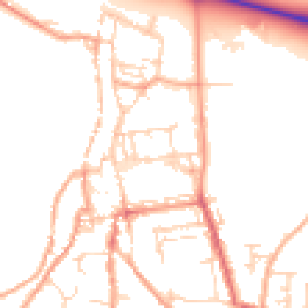
Daytime· 07:00 – 23:00
50.5dB

Night-time· 23:00 – 07:00
41.1dB