Skip to content

The Woodlands, Woodland Avenue, Worlingham, Beccles, NR34 7EF

Estimated value

£378,000

  • Since the 2012 sale (£240,000)+57%
  • Against NR34 7EF's recent median (£395,000)-4%

Newest record on this page: August 2025. Land Registry and EPC registers update monthly, so this page can trail them by 2–3 months.

Learn about this valuation
Property type
Detached
Bedrooms
3
Floor area
119 m²
1280 sq ft
Energy rating
D
Score 65
Tenure
Owner Occupied
Get directions (opens in a new tab)
Valuation

About this valuation

How the figure is worked out and what it's based on. If you know this home, you can tell other visitors what you think it's worth.

Our estimate

£378,000

  • Against its 2012 sale (£240,000)+57%
  • Against NR34 7EF's recent median (£395,000)-4%

Your note and figure are shown publicly on this page.

How the estimate is made

The estimate for The Woodlands is modelled from its 119 m² EPC floor area, its 2 recorded sales and recent sales of comparable homes in NR34 7EF. It is an automated estimate, not a survey or mortgage valuation: condition, layout and improvements that aren't on record can move the real figure either way.

What it's based on

  • Floor area

    119 m² from the EPC lodged in December 2011

  • Sales of this home

    2 sales recorded, the latest in 2012

  • Recent sales in NR34 7EF

    5 sales, median £395,000 (2025–2017)

This page or the full report?

DataThis pageFull report
SalesLatest sale shown: August 2025Latest available records, read when you order
ValuationEstimate from the last refreshAnalysed against comparable sales
PlanningNone on this homeFull history, plus nearby schemes
Flood riskNot shownIncluded
Price

Sales history & valuation

Every recorded sale of this home, how its price has moved, and what neighbouring properties have sold for.
Risks

What this page doesn't show

1 potential issue has already been flagged for The Woodlands, Woodland Avenue, Worlingham, Beccles, NR34 7EF. The detail, evidence and what to ask about it are in the Risks Report.
  • Larger development activity nearbyIn report
  • Flood risk from rivers, sea and surface waterIn report
  • Subsidence and ground-stability signalsIn report
  • Refusals, enforcement and big schemes nearbyIn report

One time fee only - money back guarantee
Overview

About The Woodlands

A plain-English summary derived from public records, EPC certificates, sold prices and local data.

The Woodlands is a three-bedroom detached house in Worlingham, Beccles, Beccles (NR34 7EF). It has a recorded floor area of 119 m² (around 1280 sq ft) and construction records dating it to 1967-1975. The latest certificate (December 2011) shows a D (score 65), on the cusp of jumping into the C band. The latest certificate is from December 2011, so improvements made since then won't be reflected. Other recorded features include a conservatory.

At 119 m² the property is well over the postcode median (76 m² across 8 EPCs), placing it in the larger end of the local stock. It lags the bulk of the postcode on energy efficiency (less efficient than 88% of similar EPCs). Across 2004–2012, sale prices on this property compounded at 2.4% per year. Today's modelled estimate of £378,000 sits 57.5% above the 2012 sale of £240,000. On a £-per-square-foot basis, the last sale (£187/sq ft) was about 24.5% below the postcode norm. Last changed hands 14 years ago, in April 2012.

Specifications

What this property has

Pulled from EPC certificates, claim submissions and our property model. Empty categories are hidden — we only show what's known.

Inside

  • Bedrooms3
  • Dining roomYes
  • EnsuiteYes
  • ConservatoryYes

Outside

  • Private gardenYes
  • GarageYes

Building

  • Heating systemGas
Before you decide

Everything you need to know about The Woodlands

The true value, the hidden risks and the full sale history, in one report.

Larger development activity nearby

Pick your report · from £14.99

One time fee only - money back guarantee

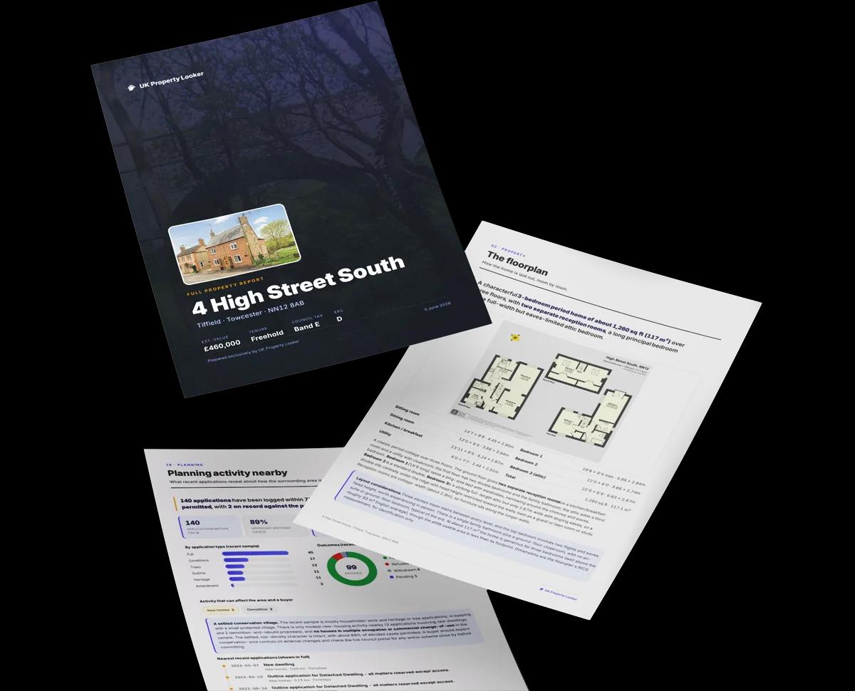
Preview of the full property report

The data behind every report

  • HM Land Registry, source of sold price history
  • Department for Education, source of schools data
  • Police.uk, source of crime statistics
  • Department for Transport, source of stations and transport links
  • Environment Agency, source of flood risk data
  • Department for Environment, Food & Rural Affairs, source of road noise data
  • PlanIt, source of planning application records
Energy

Energy performance

Every EPC certificate filed against this property — current rating, recorded improvements, and where there's headroom to reach a higher band.

The Woodlands's EPC is over a decade old — improvements since won't be reflected.

EPC Expired

This certificate is over 10 years old and is no longer valid.Expired 23 Dec 2021

Current Certificate
Dec 2011

EPC Rating

A
B
C
D
D65
E
F
G
Main Heating
Gas
Main Fuel
Gas
Hot Water
Good
Windows
Good
CO2 Emissions
3.8 t/year
Occupancy
Owner Occupied

Certificate validity

Expired on 23 December 2021

New assessment needed to sell or let
Planning

Planning history

Applications and permits filed against The Woodlands, Woodland Avenue, Worlingham, Beccles, NR34 7EF, sourced from the PlanIt planning register.

The Woodlands has no planning applications on record.

1

But the area is active

1 notable application nearby — larger schemes and conversions that could reshape the street. The report maps them all.

On the street

Versus other Woodland Avenue homes

Four headline reads against 7 similar houses on this street, drawn from the latest EPC and Land Registry data.

EPC Rating for The Woodlands lags the street by a wide margin.

Price per m²

£2,018

Street avg £2,369

Below

Floor Area

119 m²

Street avg 81 m²

Strongly above

Habitable Rooms

4 rooms

Street avg 4 rooms

On par

CO₂ Emissions

3.8 t/year

Street avg 2.9 t/year

Strongly below
Area

The neighbourhood at a glance

A condensed read of the local area. Each tile links through to the full breakdown on the Beccles district page.

Daytime road noise here sits well below conversation level — a quiet pocket of the postcode.

Crime

87/mo

Falling year-on-year across the wider district.

Nearest stop

0.2 km

Glenwood Drive — bus stop.

Closest school

0.4 km

Worlingham Church of England Voluntary Controlled Primary School. 7 schools nearby.

Nearest schools

  • Worlingham Church of England Voluntary Controlled Primary SchoolPrimary367m
  • Beccles Primary AcademyPrimary671m
  • Beccles High SchoolSecondary1.1km
  • Ravensmere Infant SchoolPrimary1.6km

Nearest stops

  • Glenwood DriveBus stop197m
  • Kempton CrossBus stop235m
  • The ChaseBus stop311m
  • Paddocks GreenBus stop323m

Most reported crime locally

  • Violence & Sexual Offences445 reports42%
  • Criminal Damage & Arson104 reports10%
  • Anti-social Behaviour100 reports10%
  • Shoplifting98 reports9%

Go deeper on the local area

A Local Area report breaks down crime, transport links, schools and air quality in depth.
Noise

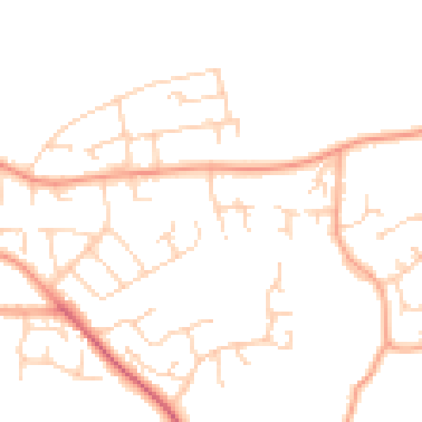
Road noise across the postcode

Modelled day and night-time noise levels around NR34 7EF from Defra's strategic mapping. The pin marks this postcode's centroid.
Daytime road noise heatmap for NR34 7EF

Daytime· 07:00 – 23:00

48.3dB

Low
Night-time road noise heatmap for NR34 7EF

Night-time· 23:00 – 07:00

38.3dB

Low
55 dB
60 dB
65 dB
70 dB
75 dB
80 dB
Defra Road Noise Strategic Mapping, Round 4
SDL Surveying

Get a survey for this property

Level 3 Building Survey

Late 20th centuryDetached BungalowEPC DExtended multiple times (2+ extensions)

Because the property has been extended more than once, we believe a Level 3 building survey should be considered.

From £955 · Includes VAT

Property research, connected

Get up to date data on unlimited properties per month

Explore sale histories, valuations, energy ratings and local areas. Ask the assistant to connect the details and take your research further.

Start your research
Method

How to read this page

Where every figure above comes from, how current it is and what it can't tell you.
How the estimate is made
The estimate for The Woodlands is modelled from its 119 m² EPC floor area, its 2 recorded sales and recent sales of comparable homes in NR34 7EF. It is an automated estimate, not a survey or mortgage valuation: condition, layout and improvements that aren't on record can move the real figure either way.
Where sold prices come from
Sold prices are HM Land Registry Price Paid Data, which covers residential sales in England and Wales since 1995. 2 sales are recorded for The Woodlands. Sales normally appear two to three months after completion, so the most recent ones take time to show up anywhere.
Reading the EPC
Energy Performance Certificates rate homes from A (most efficient) to G and last 10 years. The latest one for The Woodlands was lodged in December 2011 at band D and expired in December 2021, so a new one is needed to sell or let. Floor area, heating and insulation details on this page come from it.
Planning records
Planning applications are collected from local authority registers through PlanIt. None is matched to The Woodlands. Councils sometimes file applications under a different address format, and applications on neighbouring land aren't listed here; the report covers both.
Area figures
Crime is police-recorded street-level data over the last 12 months, which places each incident at an approximate point. The 7 schools and 30 stops listed are measured in a straight line from NR34 7EF, not by walking route. Road noise is Defra's strategic noise modelling, averaged across the postcode.
FAQ

Common questions

The questions buyers, sellers and homeowners most often ask about The Woodlands, Woodland Avenue, Worlingham, Beccles, NR34 7EF. Each answer is also embedded as structured data for search engines.

Know this home? Think our valuation is wrong?

Leave a note for other visitors about work done or anything the records miss, and say what you think it's worth. It takes about two minutes.