17 Kingswood Avenue, Newcastle Upon Tyne, NE2 3NS
Sales history & valuation
No sales recorded with HM Land Registry
That can mean the property has never traded since the registry began publishing in 1995, was a new build that hasn't been registered yet, or is held in the same hands long-term.
Median price across the last 5 sales in NE2 3NS: £468,000 (2026–2023).
Nearby sales in NE2 3NS
6 Kingswood Avenue, Newcastle Upon Tyne, NE2 3NS
Sold Jun 2026
£525,0003 Kingswood Avenue, Newcastle Upon Tyne, NE2 3NS
Sold Oct 2025
£468,00032 Kingswood Avenue, Newcastle Upon Tyne, NE2 3NS
Sold Apr 2024
£350,00044 Kingswood Avenue, Newcastle Upon Tyne, NE2 3NS
Sold Aug 2023
£400,0009 Kingswood Avenue, Newcastle Upon Tyne, NE2 3NS
Sold Jul 2023
£510,100
About 17 Kingswood Avenue
17 Kingswood Avenue is a property in Newcastle Upon Tyne (NE2 3NS). It has council tax band D.
One planning record on file: an extension approved in 2022. Past consents include an extension, meaningful when judging how the property has evolved.
Energy performance
No EPC on record
This property doesn't have an Energy Performance Certificate yet. An EPC is required to sell or let — and unlocks our automated valuation.
Planning history
17 Kingswood Avenue has an approved single-storey rear extension on the planning record.
- May 2022ExtensionFullOutcome in report
Extension: Single storey · Rear of property
Erection of a single storey extension with 1 no. rooflight to rear and alterations to elevations.
- Documents
- 7 docs on file
- Reference
- 2022/0501/01/HOU
The neighbourhood at a glance
Rail-style transport is unusually close for this postcode.
Crime
181/mo
Falling year-on-year across the wider district.
Nearest stop
0.1 km
Ilford Road (Tyne and Wear Metro Station) — subway entrance.
Closest school
0.4 km
South Gosforth First School. 33 schools nearby.
Nearest schools
- South Gosforth First SchoolPrimary365m
- West Jesmond Primary SchoolPrimary1.0km
- Archbishop Runcie CofE First SchoolPrimary1.1km
- Archibald First SchoolPrimary1.1km
Nearest stops
- Ilford Road (Tyne and Wear Metro Station)Subway entrance139m
- Ilford Road (Tyne and Wear Metro Station)Subway entrance142m
- Jesmond Mitchell AvenueBus stop299m
- Great North Road-MoorfieldBus stop307m
Most reported crime locally
- Anti-social Behaviour671 reports25%
- Violence & Sexual Offences534 reports20%
- Shoplifting361 reports13%
- Other Theft192 reports7%
Road noise across the postcode
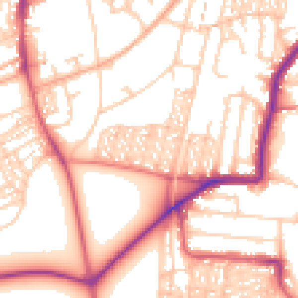
Daytime· 07:00 – 23:00
54.9dB
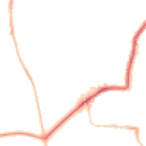
Night-time· 23:00 – 07:00
44.8dB

Get a survey for this property
Level 2 HomeBuyer Report
We've checked 10 risk factors against the available data for this property and believe a Level 2 HomeBuyer Report could be a suitable option for you.
Similar properties nearby
1 Abbotsford Terrace
NE2 3AD
1 Albemarle Avenue
NE2 3NQ
1 Beatty Avenue
NE2 3QN
1 Brentwood Avenue
NE2 3DH
1 Brentwood Gardens
NE2 3LP
1 Castle Farm Cottages, Castle Farm Road
NE2 3RH
1 Castle Farm Mews, Jesmond
NE2 3RG
1 Cromer Gardens
NE2 3QQ
How to read this page
- How the estimate is made
- We don't publish an estimate for 17 Kingswood Avenue because there is no EPC to tell the model the home's size and specification. The full report sets its records against recent comparable sales in NE2 3NS.
- Where sold prices come from
- Sold prices are HM Land Registry Price Paid Data, which covers residential sales in England and Wales since 1995. No sale is recorded for 17 Kingswood Avenue, which usually means it hasn't changed hands since 1995 or the sale was not for value. Sales normally appear two to three months after completion, so the most recent ones take time to show up anywhere.
- Reading the EPC
- There is no Energy Performance Certificate on the public register for 17 Kingswood Avenue. A valid EPC is needed to sell or let a home in England and Wales, and lasts 10 years.
- Planning records
- Planning applications are collected from local authority registers through PlanIt. 1 application is matched to 17 Kingswood Avenue. Councils sometimes file applications under a different address format, and applications on neighbouring land aren't listed here; the report covers both.
- Area figures
- Crime is police-recorded street-level data over the last 15 months, which places each incident at an approximate point. The 33 schools and 30 stops listed are measured in a straight line from NE2 3NS, not by walking route. Road noise is Defra's strategic noise modelling, averaged across the postcode.
- Council tax band
- 17 Kingswood Avenue is in council tax band D. Bands are set by the Valuation Office Agency from historic values (1 April 1991 in England, 1 April 2003 in Wales), not today's price; the amount you pay depends on the council's rate for the band.
Common questions
Know this home? Think our valuation is wrong?
Leave a note for other visitors about work done or anything the records miss, and say what you think it's worth. It takes about two minutes.