21 Avondale Avenue, Newcastle Upon Tyne, NE12 7HT
About 21 Avondale Avenue
21 Avondale Avenue is a three-bedroom detached house in Newcastle Upon Tyne (NE12 7HT). It has a recorded floor area of 145 m² (around 1561 sq ft), construction records dating it to 1930-1949 and council tax band D. The latest certificate (April 2013) shows a D (score 61), on the cusp of jumping into the C band. When first surveyed in November 2008 the rating was E, the property has climbed 1 band since. Between certificates, wall efficiency went from Poor to Good, roof efficiency went from Average to Good and lighting went from Very Poor to Poor; while window efficiency dropped from Average to Poor. The recommended improvements would push it to C (score 79). The latest certificate is from April 2013, so improvements made since then won't be reflected. Other recorded features include a self-contained annexe.
It hasn't traded since December 2009, a hold of 16 years that's notably long for the area. That sale fell during the post-crash dip, which often skews comparisons against later neighbouring sales. At 145 m² the property is well over the postcode median (98 m² across 13 EPCs), placing it in the larger end of the local stock. Across 2001–2009, sale prices on this property compounded at 7.3% per year. Today's modelled estimate of £354,000 sits 50.6% above the 2009 sale of £235,000.
What this property has
Inside
- Bedrooms3
- Dining roomYes
- Utility roomYes
- CloakroomYes
Building
- RefurbishedYes
Everything you need to know about 21 Avondale Avenue
The true value, the hidden risks and the full sale history, in one report.
Pick your report · every report is £14.99
One time fee only - money back guarantee

The data behind every report


Energy performance
21 Avondale Avenue's carbon output runs well above what efficient homes in the postcode produce.
EPC Expired
This certificate is over 10 years old and is no longer valid.Expired 12 Apr 2023
EPC Rating
Property Improvements
Changes detected from historical EPC data
Cavity wall insulation installed
Roof insulation improved
Get a survey for this property
Level 2 HomeBuyer Report
We've checked 10 risk factors against the available data for this property and believe a Level 2 HomeBuyer Report could be a suitable option for you.
From £595 · Includes VAT
Planning history
21 Avondale Avenue has no planning applications on record.
But the area is active
3 notable applications nearby — larger schemes and conversions that could reshape the street. The report maps them all.
Sales history & valuation
21 Avondale Avenue saw 3 transfers in just over a decade — high turnover for the postcode.
£354,000
Modelled from EPC, postcode comparables and a sale-price growth of 7.3% per year over 8 years.
£235,000
Growth on file: 7.3% per year over 8 years.
Sales timeline
11 December 2009Most recent
£235,000
+2.2%over 3 years1 June 2006
£230,000
+77.6%over 4 years26 June 2001
£129,500
Median price across the last 5 sales in NE12 7HT: £200,000 (2024–2019).
Nearby sales in NE12 7HT
10 Avondale Avenue, Newcastle Upon Tyne, NE12 7HT
Sold Aug 2024
£221,55015 Avondale Avenue, Newcastle Upon Tyne, NE12 7HT
Sold Aug 2023
£310,0008 Avondale Avenue, Newcastle Upon Tyne, NE12 7HT
Sold Mar 2021
£147,00018 Avondale Avenue, Newcastle Upon Tyne, NE12 7HT
Sold Oct 2020
£190,00020 Avondale Avenue, Newcastle Upon Tyne, NE12 7HT
Sold Nov 2019
£200,000
Versus other Avondale Avenue homes
Floor Area for 21 Avondale Avenue runs comfortably ahead of the street norm.
Price per m²
£1,621
Street avg £1,789
Floor Area
145 m²
Street avg 102 m²
Habitable Rooms
6 rooms
Street avg 5 rooms
CO₂ Emissions
6.6 t/year
Street avg 3.9 t/year
Everything you need to know about 21 Avondale Avenue
The true value, the hidden risks and the full sale history, in one report.
Pick your report · every report is £14.99
One time fee only - money back guarantee
The data behind every report
Similar properties nearby
1 Cotswold Avenue
NE12 7NT
1 Fairfield Avenue
NE12 7LD
1 Avondale Avenue
NE12 7HT
1 Allandale Avenue
NE12 7JD
1 Burn Avenue
NE12 7JY
1 Glebe Crescent
NE12 7JR
1 Barley Way, Killingworth
NE12 7BN
1 Elm Grove, Forest Hall
NE12 7AN
The neighbourhood at a glance
Rail-style transport is unusually close for this postcode.
Crime
4/mo
Steady year-on-year across the wider district.
Nearest stop
0.1 km
Station Road-Albany Avenue — bus stop.
Closest school
0.4 km
Benton Dene Primary School. 23 schools nearby.
Go deeper on the local area
A Local Area report breaks down crime, transport links, schools and air quality in depth.
Road noise across the postcode
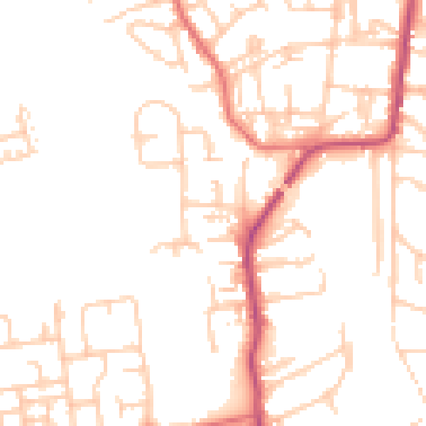
Daytime· 07:00 – 23:00
49.7dB

Night-time· 23:00 – 07:00
39.5dB