22 Bunning Way, Islington, London, N7 9UN
About 22 Bunning Way
22 Bunning Way is a two-bedroom mid-terrace house in Islington, London, London (N7 9UN). It has a recorded floor area of 110 m² (around 1188 sq ft), construction records dating it to 1991-1995 and council tax band E. The latest certificate (September 2010) shows a D (score 67), on the cusp of jumping into the C band. Earlier certificates rated it C (July 2009); the latest reading is one band lower. Between certificates, lighting went from Average to Good; while roof efficiency dropped from Good to Average and window efficiency dropped from Good to Average. The recommended improvements would push it to C (score 78). The latest certificate is from September 2010, so improvements made since then won't be reflected.
At 110 m² the property is well over the postcode median (52 m² across 22 EPCs), placing it in the larger end of the local stock. 2 bedrooms is on the smaller side for this postcode, where 4 is the typical count. 3 planning records sit against the property, 3 approved, 0 refused. Past consents include a loft conversion, an extension, a porch and a garage conversion, meaningful when judging how the property has evolved. Today's modelled estimate of £741,000 is 48.5% above the 2012 sale price. On a £-per-square-foot basis, the last sale (£420/sq ft) was about 18.3% above the typical sold price in the postcode. On the market in August 2012 and unlisted since — roughly 14 years.
Know exactly what you're buying at 22 Bunning Way
Before you offer, see what the listing won't tell you, the true value, the red flags and the full history.
Already flagged here
Valuation
against the asking price
Risks
planning & flood
Sold prices
similar homes nearby
Trends
the local market
What this property has
Inside
- Bedrooms2
Energy performance
22 Bunning Way's EPC is over a decade old — improvements since won't be reflected.
EPC Expired
This certificate is over 10 years old and is no longer valid.Expired 20 Sept 2020
EPC Rating
Property Improvements
Changes detected from historical EPC data
Heating controls changed
Hot water efficiency decreased
Windows upgraded, improving insulation
More low energy lighting installed
Planning history
Planning history includes both a loft conversion and an extension — the classic family-home expansion.
- Nov 2019Loft ConversionFullIn report
Loft conversion including the formation of a rear dormer and installation of front rooflights
- Documents
- 15 docs on file
- Reference
- P2019/2783/FUL
- Jun 2013PorchFullIn report
Extension: Front of property
Formation of an enclosed front porch.
Extension- Documents
- 6 docs on file
- Reference
- P2013/1179/FUL
We flagged 1 thing worth checking at 22 Bunning Way
Independent checks surfaced things a buyer would want to understand before offering. The report explains each one in full, with the underlying data and what to ask.
- Larger development activity nearby
30-day money-back guarantee
Sales history & valuation
22 Bunning Way valuation sits well clear of the typical sold price in this postcode.
£741,000
Modelled from EPC, postcode comparables.
£499,000
Recorded with HM Land Registry.
Sales timeline
2 August 2012Most recent
£499,000
Median price across the last 5 sales in N7 9UN: £405,000 (2025–2019).
Everything we know about 22 Bunning Way, in one report
What it's really worth, what could be wrong, and the planning, sales and area data in full.
What we flagged
- Larger development activity nearby

Versus other Bunning Way homes
On co₂ emissions, 22 Bunning Way runs well behind the street norm.
Price per m²
£4,520
Street avg £4,239
Floor Area
110 m²
Street avg 103 m²
Habitable Rooms
7 rooms
Street avg 5 rooms
CO₂ Emissions
4.4 t/year
Street avg 2.9 t/year
Similar properties nearby
1 Chris Pullen Way, Islington
N7 9FG
1 8, Bunning Way, Islington
N7 9UN
1 Heddington Grove, Islington
N7 9SY
1 Jim Veal Drive, Islington
N7 9FB
1 Keighley Close, Islington
N7 9RT
1 New Clocktower Place, Islington
N7 9FD
1 Goodinge Close, Islington
N7 9EX
1 Russet Crescent, Islington
N7 9TD
The neighbourhood at a glance
Rail-style transport is unusually close for this postcode.
Crime
12/mo
Rising year-on-year across the wider district.
Nearest stop
0.1 km
Caledonian Road & Barnsbury Station — bus stop.
Closest school
0.3 km
Robert Blair School and Children's Centre. 94 schools nearby.
Go deeper on the local area
The full report breaks down crime, transport links, schools and air quality in depth.
Road noise across the postcode
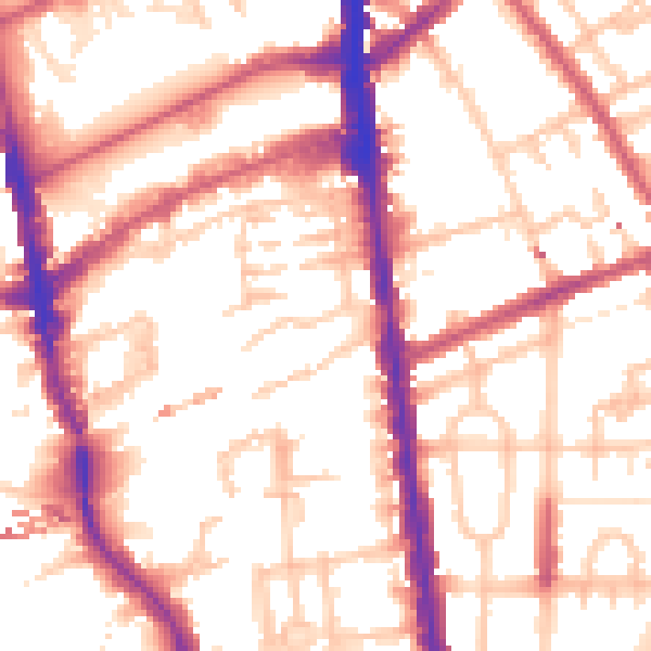
Daytime· 07:00 – 23:00
55.0dB

Night-time· 23:00 – 07:00
44.9dB