9 Hornsey Lane Gardens, Haringey, London, N6 5NX
About 9 Hornsey Lane Gardens
9 Hornsey Lane Gardens is a two-bedroom end-of-terrace house in Haringey, London, London (N6 5NX). It has a recorded floor area of 142 m² (around 1528 sq ft), construction records dating it to 1900-1929 and council tax band F. The latest certificate (May 2022) shows a D (score 67), on the cusp of jumping into the C band. When first surveyed in November 2008 the rating was E, the property has climbed 1 band since. Between certificates, window efficiency went from Very Poor to Poor and lighting went from Poor to Average. The recommended improvements would push it to C (score 80). At 142 m² this is the 18th smallest of 20 units on EPC record in the building, where floor areas span 34–1056 m². The building's EPC ratings span E to C across 20 units on file. Other recorded features include a balcony.
At 142 m² the property is well over the postcode median (62 m² across 42 EPCs), placing it in the larger end of the local stock. 4 planning records sit against the property, 1 approved, 0 refused. Past consents include an extension and a porch, meaningful when judging how the property has evolved. Across 1995–2023, sale prices on this property compounded at 7.3% per year. On a £-per-square-foot basis, the last sale (£805/sq ft) was about 139.9% above the typical sold price in the postcode. Sold August 2023 for £1,230,000.
What this property has
Inside
- Bedrooms2
- Bathrooms1
Outside
- BalconyYes
Everything you need to know about 9 Hornsey Lane Gardens
The true value, the hidden risks and the full sale history, in one report.
30-day money-back guarantee

The data behind every report


Energy performance
EPC Rating
Property Improvements
Changes detected from historical EPC data
Heating controls upgraded for better temperature management
More low energy lighting installed
Single glazing replaced with double or better glazing
Low energy lighting percentage decreased
Planning history
- May 2025PorchFullIn report
Fenestration alterations including new doors to rear and glazed roof section to porch
Extension- Documents
- 7 docs on file
- Reference
- HGY/2025/0711
- Jul 2022Tree WorksTreesIn report
T1: Lime (5.5m): Pollard to 1m below present height due to decay in union below right hand stem which is dead
- Documents
- 8 docs on file
- Reference
- CON/2022/0223
We flagged 1 thing worth checking at 9 Hornsey Lane Gardens
Independent checks surfaced things a buyer would want to understand before offering. The report explains each one in full, with the underlying data and what to ask.
- Larger development activity nearby
30-day money-back guarantee
Sales history & valuation
9 Hornsey Lane Gardens has more than quadrupled in price since its earliest registered sale in 1995.
£1,274,000
Modelled from EPC, postcode comparables and a sale-price growth of 7.3% per year over 28 years.
£1,230,000
Growth on file: 7.3% per year over 28 years.
Sales timeline
30 August 2023Most recent
£1,230,000
+645.5%over 28 years20 April 1995
£165,000
Median price across the last 5 sales in N6 5NX: £645,000 (2025–2022).
Nearby sales in N6 5NX
Flat 1, 13 Hornsey Lane Gardens, London, N6 5NX
Sold Aug 2025
£1,000,0009b, Hornsey Lane Gardens, Haringey, London, N6 5NX
Sold Sept 2024
£645,000Flat 2, 25 Hornsey Lane Gardens, London, N6 5NX
Sold Jun 2023
£522,500Flat 1, 25 Hornsey Lane Gardens, London, N6 5NX
Sold Aug 2022
£780,00011a, Hornsey Lane Gardens, Haringey, London, N6 5NX
Sold Apr 2022
£600,000
Versus other Hornsey Lane Gardens homes
9 Hornsey Lane Gardens outperforms the street on floor area by a wide margin.
Price per m²
£8,662
Street avg £8,399
Floor Area
142 m²
Street avg 63 m²
Habitable Rooms
5 rooms
Street avg 3 rooms
CO₂ Emissions
5.1 t/year
Street avg 3.2 t/year
Everything you need to know about 9 Hornsey Lane Gardens
The true value, the hidden risks and the full sale history, in one report.
30-day money-back guarantee
The data behind every report
Similar properties nearby
1 Jacksons Lane, Haringey
N6 5SR
1 Milton Avenue, Haringey
N6 5QF
1 Hillside Gardens, Haringey
N6 5SU
1 Bridgepoint Place, Hornsey Lane, Haringey
N6 5LJ
1 Netherleigh Close, Hornsey Lane, Islington
N6 5LL
1 Causton Road, Haringey
N6 5ES
1 Oldfield Mews, Haringey
N6 5XA
1 Highgate Avenue, Haringey
N6 5RX
The neighbourhood at a glance
Rail-style transport is unusually close for this postcode.
Crime
7/mo
Rising year-on-year across the wider district.
Nearest stop
0.2 km
Fitzwarren Gardens — bus stop.
Closest school
0.3 km
Whitehall Park School. 60 schools nearby.
Go deeper on the local area
The full report breaks down crime, transport links, schools and air quality in depth.
Road noise across the postcode
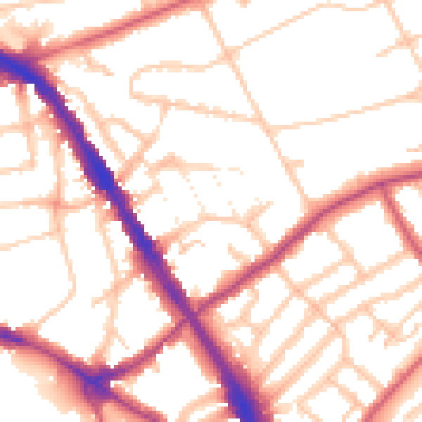
Daytime· 07:00 – 23:00
52.8dB

Night-time· 23:00 – 07:00
42.9dB