3 Princess Crescent, Hackney, London, N4 2HH
About 3 Princess Crescent
3 Princess Crescent is a semi-detached house in Hackney, London, London (N4 2HH). It has a recorded floor area of 374 m² (around 4026 sq ft), construction records dating it to 1900-1929 and council tax band C. The latest certificate (July 2018) shows an E (score 41), well below the UK norm with real room to improve. Earlier certificates rated it C (August 2016); the latest reading is 2 bands lower. Between certificates, wall efficiency dropped from Good to Very Poor and window efficiency dropped from Average to Very Poor. The recommended improvements would lift it to C (score 77), a 2-band jump.
At 374 m² the property is well over the postcode median (53 m² across 25 EPCs), placing it in the larger end of the local stock. On energy efficiency it sits in the bottom 10% of properties in this postcode — significant headroom for improvement. Today's modelled estimate of £2,573,000 sits 58.3% above the 2019 sale of £1,625,000. On a £-per-square-foot basis, the last sale (£404/sq ft) was about 159.9% above the typical sold price in the postcode. 5 planning records sit against the property, 3 approved, 2 refused. Past consents include an extension, a basement excavation and subdivision, meaningful when judging how the property has evolved. Last sale on file: £1,625,000 in January 2019.
Know exactly what you're buying at 3 Princess Crescent
Before you offer, see what the listing won't tell you, the true value, the red flags and the full history.
Already flagged here
Valuation
against the asking price
Risks
planning & flood
Sold prices
similar homes nearby
Trends
the local market
Energy performance
3 Princess Crescent sits at the bottom of the postcode for energy efficiency — meaningful headroom to improve.
EPC Rating
Planning history
Council records show a subdivision application — the property's legal arrangement has been altered.
- Apr 2023ConditionsIn report
Submission of details pursuant to condition 5 (construction and logistics management plan), condition 7 (flood resilience) and condition 8 (SuDs) of planning permission 2020/4256 granted 23/12/2022 for the conversion of the building into 7 self-contained residential units (Use Class C3) facilitated by the excavation of a basement with rear lowered garden, addition of windows to front and rear elevations, removal of side window and refuse and cycle storage. (Note for consultation dwelling mix is 1 x studio, 4 x 2-beds, 2 x 3-beds).
- Documents
- 7 docs on file
- Reference
- 2023/0937
- Sept 2020BasementFullIn report
Conversion of the building into 7 self-contained residential units (Use Class C3) facilitated by the excavation of a basement with rear lowered garden, addition of windows to front and rear elevations, removal of side window and refuse and cycle storage. (Note for consultation - dwelling mix is 1 x studio, 4 x 2-beds, 2 x 3-beds).
Subdivision- Documents
- 33 docs on file
- Reference
- 2020/4256
We flagged 1 thing worth checking at 3 Princess Crescent
Independent checks surfaced things a buyer would want to understand before offering. The report explains each one in full, with the underlying data and what to ask.
- Larger development activity nearby
30-day money-back guarantee
Sales history & valuation
Latest sale on 3 Princess Crescent was the highest on Land Registry record across the postcode.
£2,573,000
Modelled from EPC, postcode comparables.
£1,625,000
Recorded with HM Land Registry.
Sales timeline
4 January 2019Most recent
£1,625,000
Median price across the last 5 sales in N4 2HH: £452,500 (2023–2003).
Nearby sales in N4 2HH
Everything we know about 3 Princess Crescent, in one report
What it's really worth, what could be wrong, and the planning, sales and area data in full.
What we flagged
- Larger development activity nearby

Similar properties nearby
1 Henry Road, Hackney
N4 2LH
1 Digby Crescent, Hackney
N4 2HS
1 Finsbury Park Road, Hackney
N4 2LA
1 Laura Terrace, Brownswood Road, Hackney
N4 2SS
1 Pankhurst Mews, Finsbury Park Road, Hackney
N4 2JZ
1 Emperor Point, Dragonfly Walk, Hackney
N4 2WD
1 Joseph Close, Queens Drive, Hackney
N4 2AR
1 Monsell Road, Islington
N4 2EF
The neighbourhood at a glance
Rail-style transport is unusually close for this postcode.
Crime
15/mo
Rising year-on-year across the wider district.
Nearest stop
0.2 km
Alexandra Grove — bus stop.
Closest school
0.1 km
Parkwood Primary School. 95 schools nearby.
Go deeper on the local area
The full report breaks down crime, transport links, schools and air quality in depth.
Road noise across the postcode
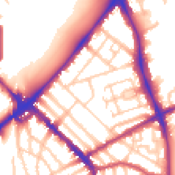
Daytime· 07:00 – 23:00
56.2dB

Night-time· 23:00 – 07:00
46.8dB