11 Stuart Crescent, Haringey, London, N22 5NJ
About 11 Stuart Crescent
11 Stuart Crescent is a two-bedroom end-of-terrace house in Haringey, London, London (N22 5NJ). It has a recorded floor area of 75 m² (around 807 sq ft), construction records dating it to 1967-1975 and council tax band C. Other recorded features include a balcony. The latest certificate (June 2016) shows a C (score 71).
Today's modelled estimate of £410,000 is 18.5% above the 2020 sale price. On a £-per-square-foot basis, the last sale (£429/sq ft) was about 70.7% above the typical sold price in the postcode. Most recent transfer: June 2020 at £346,000.
Know exactly what you're buying at 11 Stuart Crescent
Before you offer, see what the listing won't tell you, the true value, the red flags and the full history.
Already flagged here
Valuation
against the asking price
Risks
planning & flood
Sold prices
similar homes nearby
Trends
the local market
What this property has
Inside
- Bedrooms2
- Bathrooms2
- Dining roomYes
- EnsuiteYes
Outside
- Private gardenYes
- ParkingAllocated
- BalconyYes
Energy performance
EPC Rating
Planning history
11 Stuart Crescent has no planning applications on record.
Notable planning nearby
43applications of note in the surrounding area
We flagged 2 things worth checking at 11 Stuart Crescent
Independent checks surfaced things a buyer would want to understand before offering. The report explains each one in full, with the underlying data and what to ask.
- Signs of HMO activity in the area
- Larger development activity nearby
30-day money-back guarantee
Sales history & valuation
The latest sale landed in the post-pandemic price surge — useful context when reading the figure.
£410,000
Modelled from EPC, postcode comparables.
£346,000
Recorded with HM Land Registry.
Sales timeline
4 June 2020Most recent
£346,000
Median price across the last 5 sales in N22 5NJ: £350,000 (2025–2017).
Nearby sales in N22 5NJ
7 Stuart Crescent, Haringey, London, N22 5NJ
Sold Feb 2025
£565,000Ground Floor Flat, 7 Stuart Crescent, London, N22 5NJ
Sold Jul 2024
£350,0009a, Stuart Crescent, Haringey, London, N22 5NJ
Sold Sept 2021
£327,50011b, Stuart Crescent, Haringey, London, N22 5NJ
Sold Nov 2020
£388,0006 Stuart Crescent, Haringey, London, N22 5NJ
Sold May 2017
£30,000
Everything we know about 11 Stuart Crescent, in one report
What it's really worth, what could be wrong, and the planning, sales and area data in full.
What we flagged
- Signs of HMO activity in the area
- Larger development activity nearby

Versus other Stuart Crescent homes
Price per m²
£4,613
Street avg £5,126
Floor Area
75 m²
Street avg 68 m²
Habitable Rooms
3 rooms
Street avg 3 rooms
CO₂ Emissions
2.5 t/year
Street avg 2.6 t/year
Similar properties nearby
1 Canning Crescent, Haringey
N22 5SR
1 Homecroft Road, Haringey
N22 5EL
1 Crown Close, Winkfield Road, Haringey
N22 5HG
1 Inverness Terrace, Stirling Road, Haringey
N22 5BS
1 Glendale Avenue, Haringey
N22 5AH
1 Granville Road, Haringey
N22 5LP
1 Fife Road, Haringey
N22 5EG
1 Ewart Grove, Haringey
N22 5NY
The neighbourhood at a glance
Rail-style transport is unusually close for this postcode.
Crime
10/mo
Rising year-on-year across the wider district.
Nearest stop
0.2 km
Haringey Civic Centre — bus stop.
Closest school
0.2 km
Lift Trinity. 69 schools nearby.
Go deeper on the local area
The full report breaks down crime, transport links, schools and air quality in depth.
Road noise across the postcode
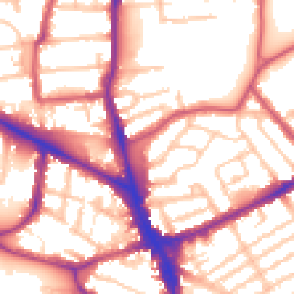
Daytime· 07:00 – 23:00
56.1dB

Night-time· 23:00 – 07:00
45.8dB