Flat 1, 43 Eldon Road, Haringey, London, N22 5DX
About Flat 1
Flat 1 is a property in Haringey, London, London (N22 5DX). It has council tax band B.
Energy performance
No EPC on record
This property doesn't have an Energy Performance Certificate yet. An EPC is required to sell or let — and unlocks our automated valuation.
Planning history
No planning applications are recorded against Flat 1, 43 Eldon Road, Haringey, London, N22 5DX. The full report also covers planning activity across the surrounding area.
Sales history & valuation
No sales recorded with HM Land Registry
That can mean the property has never traded since the registry began publishing in 1995, was a new build that hasn't been registered yet, or is held in the same hands long-term.
Median price across the last 5 sales in N22 5DX: £735,000 (2025–2019).
Nearby sales in N22 5DX
16 Eldon Road, Haringey, London, N22 5DX
Sold Aug 2025
£760,00029 Eldon Road, Haringey, London, N22 5DX
Sold Apr 2023
£854,00018 Eldon Road, Haringey, London, N22 5DX
Sold Feb 2022
£520,000Flat 2, 39 Eldon Road, London, N22 5DX
Sold Jan 2019
£250,00037 Eldon Road, Haringey, London, N22 5DX
Sold Oct 2017
£104,750
Similar properties nearby
10a, Flat 1, White Hart Lane
N22 5RJ
10a, Flat 2, White Hart Lane
N22 5RJ
116a, Flat 2, Perth Road, Haringey
N22 5QP
116a, Flat 5, Perth Road, Haringey
N22 5QP
116a, Flat 6, Perth Road, Haringey
N22 5QP
116a, Flat 7, Perth Road, Haringey
N22 5QP
116a, Flat 8, Perth Road, Haringey
N22 5QP
473a, Flat 1, Lordship Lane, Haringey
N22 5DJ
The neighbourhood at a glance
Reported crime in the wider district is trending notably upward year-on-year.
Crime
10/mo
Rising year-on-year across the wider district.
Nearest stop
0.2 km
Morley Avenue — bus stop.
Closest school
0.2 km
Lordship Lane Primary School. 75 schools nearby.
Road noise across the postcode
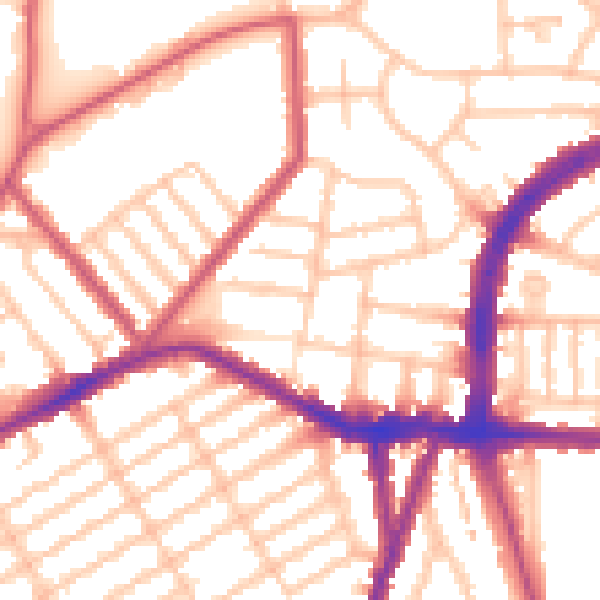
Daytime· 07:00 – 23:00
54.3dB

Night-time· 23:00 – 07:00
43.5dB