21 Coniscliffe Road, Enfield, London, N13 5NP
About 21 Coniscliffe Road
21 Coniscliffe Road is a three-bedroom mid-terrace house in Enfield, London, London (N13 5NP). It has a recorded floor area of 85 m² (around 915 sq ft), construction records dating it to 1930-1949 and council tax band E. The latest certificate (February 2011) shows a D (score 67), on the cusp of jumping into the C band. The recommended improvements would push it to C (score 76). The latest certificate is from February 2011, so improvements made since then won't be reflected. Records show the property has been extended at some point in its history.
Last sale on file: £475,000 in July 2020. Across the public record there are 4 sales, relatively high churn for a single property. Across 1999–2020, sale prices on this property compounded at 7.1% per year. Today's modelled estimate of £565,000 is 18.9% above the 2020 sale price. On a £-per-square-foot basis, the last sale (£519/sq ft) was about 101.9% above the typical sold price in the postcode. One planning record on file: an extension refused in 2003.
Know exactly what you're buying at 21 Coniscliffe Road
Before you offer, see what the listing won't tell you, the true value, the red flags and the full history.
Already flagged here
Launch offer · save £5
Valuation
against the asking price
Risks
planning & flood
Sold prices
similar homes nearby
Trends
the local market
What this property has
Inside
- Bedrooms3
- Bathrooms1
- Open-plan layoutYes
- Dining roomYes
Outside
- Private gardenYes
- Garagedetached
Building
- Previously extendedYes
Energy performance
21 Coniscliffe Road's EPC is over a decade old — improvements since won't be reflected.
EPC Expired
This certificate is over 10 years old and is no longer valid.Expired 28 Feb 2021
EPC Rating
Planning history
- May 2003ExtensionFullIn report
Extension: Single storey · Rear of property
Single storey rear extension.
- Reference
- TP/03/0674
We flagged 1 thing worth checking at 21 Coniscliffe Road
Independent checks surfaced things a buyer would want to understand before offering. The report explains each one in full, with the underlying data and what to ask.
- Signs of HMO activity in the area
30-day money-back guarantee
Sales history & valuation
Latest sale on 21 Coniscliffe Road was the highest on Land Registry record across the postcode.
£565,000
Modelled from EPC, postcode comparables and a sale-price growth of 7.1% per year over 21 years.
£475,000
Growth on file: 7.1% per year over 21 years.
Sales timeline
29 July 2020Most recent
£475,000
+50.8%over 9 years24 July 2011
£315,000
+40.0%over 8 years15 January 2003
£225,000
+99.1%over 3 years20 July 1999
£113,000
Median price across the last 5 sales in N13 5NP: £370,000 (2021–2012).
Nearby sales in N13 5NP
29 Coniscliffe Road, Enfield, London, N13 5NP
Sold Apr 2021
£441,00025 Coniscliffe Road, Enfield, London, N13 5NP
Sold Sept 2015
£425,00027 Coniscliffe Road, Enfield, London, N13 5NP
Sold Mar 2015
£370,00015 Coniscliffe Road, Enfield, London, N13 5NP
Sold Feb 2014
£310,0007 Coniscliffe Road, Enfield, London, N13 5NP
Sold Jul 2012
£305,000
Everything we know about 21 Coniscliffe Road, in one report
What it's really worth, what could be wrong, and the planning, sales and area data in full.
What we flagged
- Signs of HMO activity in the area

Versus other Coniscliffe Road homes
On price per m², 21 Coniscliffe Road stands well clear of the street.
Price per m²
£5,585
Street avg £3,467
Floor Area
85 m²
Street avg 82 m²
Habitable Rooms
5 rooms
Street avg 5 rooms
CO₂ Emissions
3.6 t/year
Street avg 3.6 t/year
Similar properties nearby
1 Dorchester Avenue, Enfield
N13 5DZ
1 Hedge Lane, Enfield
N13 5SJ
1 Greenwood Gardens, Enfield
N13 5RT
1 Huguenot Drive, Enfield
N13 5DQ
1 Askew Villas, New River Crescent, Enfield
N13 5RH
1 Birch Avenue, Enfield
N13 5AS
1 Hamilton Crescent, Enfield
N13 5LN
1 Crestbrook Avenue, Enfield
N13 5RR
The neighbourhood at a glance
Reported crime in the wider district is trending notably upward year-on-year.
Crime
7/mo
Rising year-on-year across the wider district.
Nearest stop
0.2 km
Hedge Lane / Firs Lane — bus stop.
Closest school
0.5 km
Firs Farm Primary School. 57 schools nearby.
Go deeper on the local area
The full report breaks down crime, transport links, schools and air quality in depth.
Road noise across the postcode
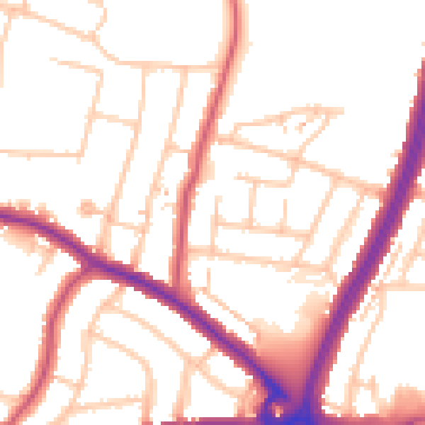
Daytime· 07:00 – 23:00
52.9dB

Night-time· 23:00 – 07:00
43.0dB