15 Coniscliffe Road, Enfield, London, N13 5NP
About 15 Coniscliffe Road
15 Coniscliffe Road is a three-bedroom semi-detached house in Enfield, London, London (N13 5NP). It has a recorded floor area of 67 m² (around 721 sq ft), construction records dating it to 1930-1949 and council tax band E. The latest certificate (December 2013) shows an E (score 51), well below the UK norm with real room to improve. The recommended improvements would lift it to B (score 86), a 3-band jump. The latest certificate is from December 2013, so improvements made since then won't be reflected. Our model identifies extension potential, subject to local planning policy.
At 67 m² it's 16.3% smaller than the typical home in the postcode (80 m² median across 14 EPCs). On energy efficiency it sits in the bottom 10% of properties in this postcode — significant headroom for improvement. Today's modelled estimate of £521,000 sits 68.1% above the 2014 sale of £310,000. On a £-per-square-foot basis, the last sale (£430/sq ft) was about 69.4% above the typical sold price in the postcode. One planning record on file: an extension approved in 2014. Past consents include an extension, meaningful when judging how the property has evolved. 12 years since the last transfer (February 2014).
Know exactly what you're buying at 15 Coniscliffe Road
Before you offer, see what the listing won't tell you, the true value, the red flags and the full history.
Already flagged here
Launch offer · save £5
Valuation
against the asking price
Risks
planning & flood
Sold prices
similar homes nearby
Trends
the local market
What this property has
Inside
- Bedrooms3
- Dining roomYes
Outside
- GarageYes
Building
- RefurbishedYes
- Extension potentialPossible
Energy performance
15 Coniscliffe Road sits at the bottom of the postcode for energy efficiency — meaningful headroom to improve.
EPC Expired
This certificate is over 10 years old and is no longer valid.Expired 30 Dec 2023
EPC Rating
Planning history
15 Coniscliffe Road has an approved single-storey rear extension on the planning record.
- May 2014ExtensionOutlineIn report
Extension: Single storey · Rear of property
Single storey rear extension
- Documents
- 7 docs on file
- Reference
- P14-01351LDC
We flagged 1 thing worth checking at 15 Coniscliffe Road
Independent checks surfaced things a buyer would want to understand before offering. The report explains each one in full, with the underlying data and what to ask.
- Signs of HMO activity in the area
30-day money-back guarantee
Sales history & valuation
15 Coniscliffe Road valuation sits well clear of the typical sold price in this postcode.
£521,000
Modelled from EPC, postcode comparables.
£310,000
Recorded with HM Land Registry.
Sales timeline
20 February 2014Most recent
£310,000
Median price across the last 5 sales in N13 5NP: £425,000 (2021–2012).
Nearby sales in N13 5NP
29 Coniscliffe Road, Enfield, London, N13 5NP
Sold Apr 2021
£441,00021 Coniscliffe Road, Enfield, London, N13 5NP
Sold Jul 2020
£475,00025 Coniscliffe Road, Enfield, London, N13 5NP
Sold Sept 2015
£425,00027 Coniscliffe Road, Enfield, London, N13 5NP
Sold Mar 2015
£370,0007 Coniscliffe Road, Enfield, London, N13 5NP
Sold Jul 2012
£305,000
Everything we know about 15 Coniscliffe Road, in one report
What it's really worth, what could be wrong, and the planning, sales and area data in full.
What we flagged
- Signs of HMO activity in the area

Versus other Coniscliffe Road homes
On epc rating, 15 Coniscliffe Road runs well behind the street norm.
Price per m²
£4,627
Street avg £3,554
Floor Area
67 m²
Street avg 84 m²
Habitable Rooms
5 rooms
Street avg 5 rooms
CO₂ Emissions
4.3 t/year
Street avg 3.6 t/year
Similar properties nearby
1 Dorchester Avenue, Enfield
N13 5DZ
1 Hedge Lane, Enfield
N13 5SJ
1 Greenwood Gardens, Enfield
N13 5RT
1 Huguenot Drive, Enfield
N13 5DQ
1 Askew Villas, New River Crescent, Enfield
N13 5RH
1 Birch Avenue, Enfield
N13 5AS
1 Hamilton Crescent, Enfield
N13 5LN
1 Crestbrook Avenue, Enfield
N13 5RR
The neighbourhood at a glance
Reported crime in the wider district is trending notably upward year-on-year.
Crime
7/mo
Rising year-on-year across the wider district.
Nearest stop
0.2 km
Hedge Lane / Firs Lane — bus stop.
Closest school
0.5 km
Firs Farm Primary School. 57 schools nearby.
Go deeper on the local area
The full report breaks down crime, transport links, schools and air quality in depth.
Road noise across the postcode
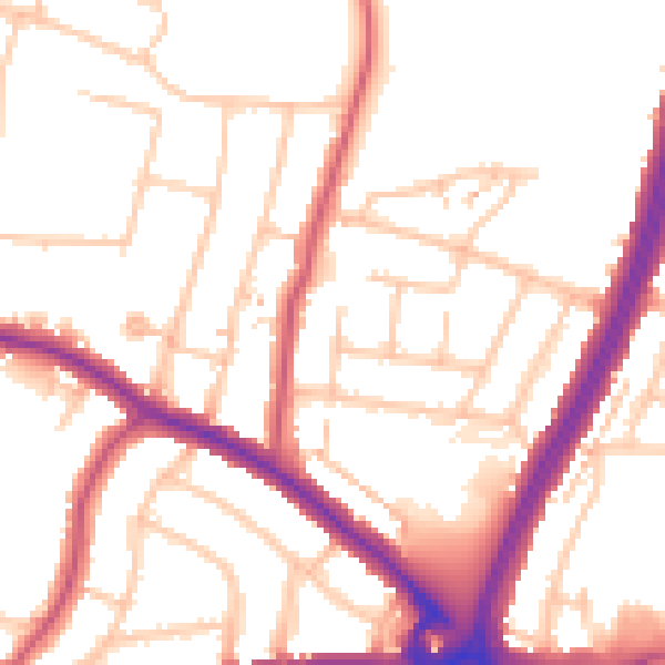
Daytime· 07:00 – 23:00
52.9dB

Night-time· 23:00 – 07:00
43.0dB