13 Banning Street, Rochester, ME2 3AG
About 13 Banning Street
13 Banning Street is a two-bedroom end-of-terrace house in Rochester (ME2 3AG). It has a recorded floor area of 92 m² (around 990 sq ft), construction records dating it to before 1900 and council tax band B. The latest certificate (June 2022) shows a D (score 58), a step below the typical UK home. When first surveyed in April 2010 the rating was E, the property has climbed 1 band since. Between certificates, lighting went from Good to Very Good; while roof efficiency dropped from Good to Very Poor. The recommended improvements would push it to C (score 79).
At 92 m² it's 17.9% larger than the typical home in the postcode (78 m² median across 11 EPCs). Across 1995–2023, sale prices on this property compounded at 9.2% per year. On a £-per-square-foot basis, the last sale (£273/sq ft) was about 66.1% above the typical sold price in the postcode. Last sale on file: £270,000 in March 2023.
Know exactly what you're buying at 13 Banning Street
Before you offer, see what the listing won't tell you, the true value, the red flags and the full history.
Already flagged here
Valuation
against the asking price
Risks
planning & flood
Sold prices
similar homes nearby
Trends
the local market
What this property has
Inside
- Bedrooms2
- StudyYes
Outside
- Private gardenYes
Energy performance
EPC Rating
Property Improvements
Changes detected from historical EPC data
Heating controls upgraded for better temperature management
More low energy lighting installed
Planning history
13 Banning Street has no planning applications on record.
Notable planning nearby
12applications of note in the surrounding area
We flagged 2 things worth checking at 13 Banning Street
Independent checks surfaced things a buyer would want to understand before offering. The report explains each one in full, with the underlying data and what to ask.
- Signs of HMO activity in the area
- Larger development activity nearby
30-day money-back guarantee
Sales history & valuation
Latest sale on 13 Banning Street was the highest on Land Registry record across the postcode.
£268,000
Modelled from EPC, postcode comparables and a sale-price growth of 9.2% per year over 28 years.
£270,000
Growth on file: 9.2% per year over 28 years.
Sales timeline
30 March 2023Most recent
£270,000
+63.1%over 15 years26 July 2007
£165,500
+42.7%over 4 years5 June 2003
£116,000
+77.1%over 2 years14 November 2000
£65,500
+178.7%over 5 years24 August 1995
£23,500
Median price across the last 5 sales in ME2 3AG: £227,500 (2025–2021).
Nearby sales in ME2 3AG
Everything we know about 13 Banning Street, in one report
What it's really worth, what could be wrong, and the planning, sales and area data in full.
What we flagged
- Signs of HMO activity in the area
- Larger development activity nearby

Versus other Banning Street homes
13 Banning Street outperforms the street on floor area by a wide margin.
Price per m²
£2,935
Street avg £2,273
Floor Area
92 m²
Street avg 77 m²
Habitable Rooms
6 rooms
Street avg 5 rooms
CO₂ Emissions
4.6 t/year
Street avg 3.8 t/year
Similar properties nearby
1 Cecil Avenue
ME2 3EA
1 Cambridge Road
ME2 3HW
1 Brompton Lane
ME2 3BH
1 Cross Street
ME2 3AE
1 Cliffe Road
ME2 3DY
1 Barnets Yard, West Street
ME2 3XG
1 Banning Street
ME2 3AG
1 Allington Drive
ME2 3SR
The neighbourhood at a glance
Rail-style transport is unusually close for this postcode.
Crime
3/mo
Steady year-on-year across the wider district.
Nearest stop
0.2 km
Cecil Avenue — bus stop.
Closest school
0.2 km
All Faiths Children's Academy. 20 schools nearby.
Go deeper on the local area
The full report breaks down crime, transport links, schools and air quality in depth.
Road noise across the postcode
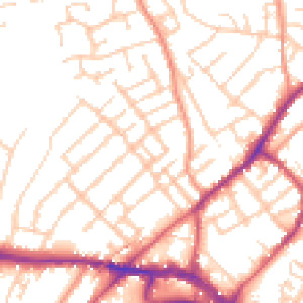
Daytime· 07:00 – 23:00
52.5dB

Night-time· 23:00 – 07:00
42.5dB