5 Farmway, Middleton, Manchester, M24 1DH
About 5 Farmway
5 Farmway is a detached house in Middleton, Manchester, Manchester (M24 1DH). It has a recorded floor area of 95 m² (around 1023 sq ft), construction records dating it to 1950-1966 and council tax band D. The latest certificate (November 2012) shows a D (score 64), on the cusp of jumping into the C band. The recommended improvements would push it to C (score 80). The latest certificate is from November 2012, so improvements made since then won't be reflected.
Everything you need to know about 5 Farmway
The true value, the hidden risks and the full sale history, in one report.
Pick your report · every report is £14.99
One time fee only - money back guarantee

The data behind every report


Energy performance
5 Farmway's EPC is over a decade old — improvements since won't be reflected.
EPC Expired
This certificate is over 10 years old and is no longer valid.Expired 21 Nov 2022
EPC Rating
Get a survey for this property
Level 2 HomeBuyer Report
We've checked 10 risk factors against the available data for this property and believe a Level 2 HomeBuyer Report could be a suitable option for you.
From £595 · Includes VAT
Planning history
5 Farmway has no planning applications on record.
But the area is active
5 notable applications nearby — larger schemes and conversions that could reshape the street. The report maps them all.
Sales history & valuation
5 Farmway has no Land Registry sales on file, suggesting it has stayed in the same hands since registration began.
£304,000
Modelled from EPC, postcode comparables.
No sales recorded with HM Land Registry
That can mean the property has never traded since the registry began publishing in 1995, was a new build that hasn't been registered yet, or is held in the same hands long-term.
Median price across the last 5 sales in M24 1DH: £277,500 (2025–2019).
Nearby sales in M24 1DH
1a, Farmway, Middleton, Manchester, M24 1DH
Sold May 2025
£310,0004a, Farmway, Middleton, Manchester, M24 1DH
Sold Jan 2024
£245,00012 Farmway, Middleton, Manchester, M24 1DH
Sold Oct 2020
£208,0003 Farmway, Middleton, Manchester, M24 1DH
Sold Oct 2019
£305,0007 Farmway, Middleton, Manchester, M24 1DH
Sold Nov 2018
£235,000
Versus other Farmway homes
5 Farmway outperforms the street on epc rating by a wide margin.
EPC Rating
64 (D)
Street avg 58 (D)
Floor Area
95 m²
Street avg 95 m²
CO₂ Emissions
4.1 t/year
Street avg 4.9 t/year
Habitable Rooms
5 rooms
Street avg 5 rooms
Everything you need to know about 5 Farmway
The true value, the hidden risks and the full sale history, in one report.
Pick your report · every report is £14.99
One time fee only - money back guarantee
The data behind every report
Similar properties nearby
1 Beech Walk, Middleton
M24 1JX
1 Cheltenham Green, Middleton
M24 1HQ
1 Alresford Road, Middleton
M24 1WU
1 Banbury Road, Middleton
M24 1QB
1 Cheltenham Road, Middleton
M24 1HR
1 Colwyn Avenue, Middleton
M24 1ER
1 Birch Avenue, Middleton
M24 1DR
1 Dene Drive, Middleton
M24 1QY
The neighbourhood at a glance
Crime
1/mo
Steady year-on-year across the wider district.
Nearest stop
0.1 km
Alkrington Hall Road North — bus stop.
Closest school
0.5 km
St Peter's Roman Catholic Primary School, Rochdale. 33 schools nearby.
Go deeper on the local area
A Local Area report breaks down crime, transport links, schools and air quality in depth.
Road noise across the postcode
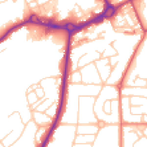
Daytime· 07:00 – 23:00
53.7dB

Night-time· 23:00 – 07:00
44.5dB