23 Ferndene Road, Manchester, M20 4TN
About 23 Ferndene Road
23 Ferndene Road is a three-bedroom semi-detached house in Manchester (M20 4TN). It has a recorded floor area of 107 m² (around 1152 sq ft), construction records dating it to 1930-1949 and council tax band C. The latest certificate (October 2018) shows a D (score 62), on the cusp of jumping into the C band. The recommended improvements would push it to C (score 78). Other recorded features include outbuildings.
One planning record on file: an extension approved in 2023. Past consents include an extension and a loft conversion, meaningful when judging how the property has evolved. Across 2000–2018, sale prices on this property compounded at 6.3% per year. Today's modelled estimate of £486,000 is 35% above the 2018 sale price. On a £-per-square-foot basis, the last sale (£313/sq ft) was about 27.9% above the typical sold price in the postcode. Last sale on file: £360,000 in December 2018.
What this property has
Inside
- Bedrooms3
- Bathrooms1
- Dining roomYes
Outside
- Private gardenYes
- OutbuildingsYes
Building
- Heating systemGas
Everything you need to know about 23 Ferndene Road
The true value, the hidden risks and the full sale history, in one report.
Pick your report · every report is £14.99
One time fee only - money back guarantee

The data behind every report


Energy performance
EPC Rating
Get a survey for this property
Level 3 Building Survey
Because the property has been extended more than once and has permanent outbuildings, we believe a Level 3 building survey should be considered.
From £1,020 · Includes VAT
Planning history
1 application on record at 23 Ferndene Road, Manchester, M20 4TN
- Jun 2023Loft ConversionFullOutcome in report
Hip to gable roof extension and installation of rear roof dormer with associated external alterations to provide additional living accommodation.
Extension- Documents
- 7 docs on file
- Reference
- 136784/FH/2023
Unlock 23 Ferndene Road, Manchester, M20 4TN's full planning history
You're seeing the shape of it. The report has the substance.
- Every decision — granted, refused or withdrawn (1 on record)
- All 1 application on this property in full, plus 24 notable nearby
- The 7 documents, officer reports & conditions
- What the pattern means for extending or converting here
One time fee only - money back guarantee
Sales history & valuation
23 Ferndene Road has more than tripled in price since its earliest registered sale in 2000.
£486,000
Modelled from EPC, postcode comparables and a sale-price growth of 6.3% per year over 18 years.
£360,000
Growth on file: 6.3% per year over 18 years.
Sales timeline
18 December 2018Most recent
£360,000
+53.2%over 15 years11 December 2003
£235,000
+100.0%over 3 years24 August 2000
£117,500
Median price across the last 5 sales in M20 4TN: £350,000 (2023–2015).
Nearby sales in M20 4TN
Versus other Ferndene Road homes
Habitable Rooms for 23 Ferndene Road runs comfortably ahead of the street norm.
Price per m²
£3,364
Street avg £3,164
Floor Area
107 m²
Street avg 111 m²
Habitable Rooms
6 rooms
Street avg 5 rooms
CO₂ Emissions
4.4 t/year
Street avg 5.3 t/year
Everything you need to know about 23 Ferndene Road
The true value, the hidden risks and the full sale history, in one report.
Pick your report · every report is £14.99
One time fee only - money back guarantee
The data behind every report
Similar properties nearby
1 Harcombe Road
M20 4AT
1 Fairholme Road
M20 4WT
1 Ferndene Road
M20 4TN
1 Gainsborough Avenue
M20 4US
1 Brookleigh Road
M20 4NZ
1 Barnstead Avenue
M20 4UL
1 Cotton Lane
M20 4GL
1 Central Road
M20 4YE
The neighbourhood at a glance
Rail-style transport is unusually close for this postcode.
Nearest stop
0.2 km
Oak Road — bus stop.
Closest school
0.4 km
St Cuthbert's RC Primary School. 44 schools nearby.
Go deeper on the local area
A Local Area report breaks down crime, transport links, schools and air quality in depth.
Road noise across the postcode
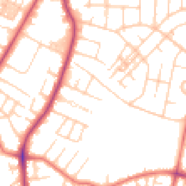
Daytime· 07:00 – 23:00
51.0dB

Night-time· 23:00 – 07:00
40.8dB