47 Warde Street, Hulme, Manchester, M15 5TG
About 47 Warde Street
47 Warde Street is a three-bedroom end-of-terrace house in Hulme, Manchester, Manchester (M15 5TG). It has a recorded floor area of 67 m² (around 721 sq ft), construction records dating it to 1996-2002 and council tax band B. The latest certificate (April 2019) shows a C (score 72). The rating has held steady at C across 2 certificates since November 2008. Between certificates, lighting went from Poor to Very Good; while window efficiency dropped from Good to Average. The recommended improvements would push it to B (score 87).
It hasn't traded since June 2003, a hold of 23 years that's notably long for the area. Across 1999–2003, sale prices on this property compounded at 16% per year. Today's modelled estimate of £251,000 sits 164.3% above the 2003 sale of £94,950.
What this property has
Inside
- Bedrooms3
- Bathrooms2
Outside
- ParkingAllocated
Building
- RefurbishedYes
Everything you need to know about 47 Warde Street
The true value, the hidden risks and the full sale history, in one report.
30-day money-back guarantee

The data behind every report


Energy performance
EPC Rating
Property Improvements
Changes detected from historical EPC data
More low energy lighting installed
Ventilation system changed
Planning history
47 Warde Street has no planning applications on record.
The full report still covers planning activity across the surrounding area.
Sales history & valuation
47 Warde Street's modelled value sits at over four times its earliest registered sale price (1999).
£251,000
Modelled from EPC, postcode comparables and a sale-price growth of 16.0% per year over 4 years.
£94,950
Growth on file: 16.0% per year over 4 years.
Sales timeline
26 June 2003Most recent
£94,950
+85.1%over 4 years29 April 1999
£51,310
Median price across the last 5 sales in M15 5TG: £200,000 (2024–2020).
Nearby sales in M15 5TG
49 Warde Street, Hulme, Manchester, M15 5TG
Sold Feb 2024
£200,00035 Warde Street, Hulme, Manchester, M15 5TG
Sold Apr 2023
£205,00015 Warde Street, Hulme, Manchester, M15 5TG
Sold Feb 2020
£210,0007 Warde Street, Hulme, Manchester, M15 5TG
Sold Sept 2019
£164,95021 Warde Street, Hulme, Manchester, M15 5TG
Sold May 2019
£183,000
Versus other Warde Street homes
On price per m², 47 Warde Street runs well behind the street norm.
Price per m²
£1,417
Street avg £2,382
Floor Area
67 m²
Street avg 66 m²
Habitable Rooms
5 rooms
Street avg 5 rooms
CO₂ Emissions
2.2 t/year
Street avg 2.2 t/year
Everything you need to know about 47 Warde Street
The true value, the hidden risks and the full sale history, in one report.
30-day money-back guarantee
The data behind every report
Similar properties nearby
1 Ancroft Street
M15 5JW
1 Dunham Street
M15 5FX
1 Heron Street
M15 5PR
1 Dearden Street
M15 5LZ
1 Drayton Street
M15 5LL
1 Colin Murphy Road
M15 5RS
1 Betsham Street
M15 5JN
1 Bold Street, Hulme
M15 5QR
The neighbourhood at a glance
Crime
1/mo
Steady year-on-year across the wider district.
Nearest stop
0.1 km
Spruce Street — bus stop.
Closest school
0.2 km
Rolls Crescent Primary School. 45 schools nearby.
Go deeper on the local area
The full report breaks down crime, transport links, schools and air quality in depth.
Road noise across the postcode
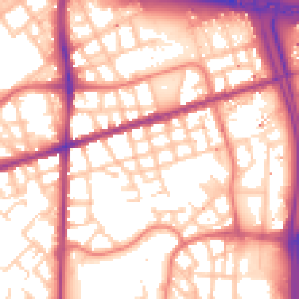
Daytime· 07:00 – 23:00
57.2dB

Night-time· 23:00 – 07:00
47.6dB